Lienzer Dolomiten
Located in Carinthia, Austria Coordinates: 46°45′00″ N 12°45′00″ E
- Elevation
- 2,314 m
- above sea level
- Local time
- UTC+01:00
- Europe/Vienna · UTC+01:00
About Lienzer Dolomiten
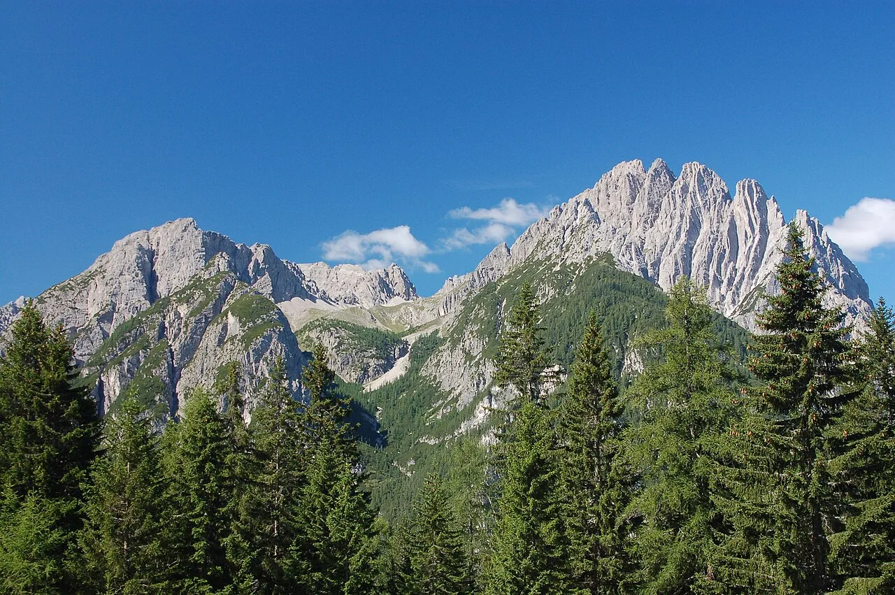
Lienzer Dolomiten is a mountain. Location: Carinthia, Austria. Elevation: 2,314 m.
The Lienz Dolomites are an alpine mountain range located in the Austrian states of East Tyrol and Carinthia. It lies at the western side of the wider Gailtal Alps and contains its highest peaks. The range lies between the Drau Valley in the north and the Lesachtal to the south (where the Gail river flows). Its most notable summits include the Große Sandspitze at 2,770 m, the Spitzkofel (2,717 m), the Hochstadel (2,681 m), the Laserzwand (2,614 m), and the Eggenkofel (2,591 m).
Read more on Wikipedia Text: Wikipedia contributors · CC BY-SA 4.0 · shortened
In comparison
- No. 1943 of 7537 mountains in Austria by elevation
- 46 sights and natural places within 10 km Kreuzkofel, Weittalspitze
Nearest towns and villages
-
Amlach Municipality, Politischer Bezirk Lienz3.5 km N
-
Leisach Municipality, Politischer Bezirk Lienz3.7 km NW
-
Tristach Municipality, Politischer Bezirk Lienz6 km NE
-
Tuffbad Village, Lesachtal3.3 km SE
-
Maria Luggau Village, Lesachtal4.8 km S
-
Xaveriberg Village, Lesachtal4.2 km S
Nearby attractions & nature
Everything nearby-
 Kreuzkofel Mountain, Amlach1 km NW
-
Weittalspitze Mountain, Tyrol1.2 km E
-
 Spitzkofel Mountain, Amlach2.6 km N
-
Große Gamswiesenspitze Mountain, Amlach3.1 km NE
-
Wildsender Mountain, Amlach3.4 km E
-
Luggauer Bach River, Carinthia5.2 km S
-
Samalm Mountain, Lesachtal3.9 km S
-
Galitzen Bach River, Tyrol5.6 km N
More nature in Austria
-
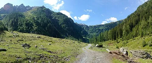 Ebnertal Natural site, Carinthia7.8 km S
-
Schulterhöhe Mountain, Lesachtal9.6 km SW
-
Zwölferspitz Mountain, Carinthia12 km SW
-
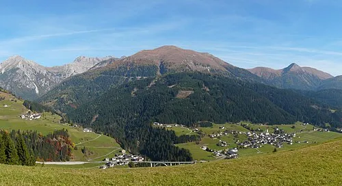 Riebenkofel Mountain, Lesachtal4.6 km SE
-
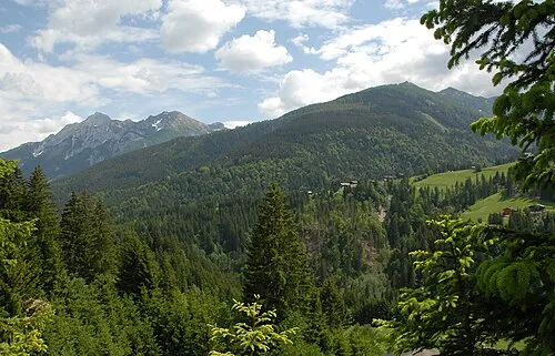 Lesachtal Natural site, Carinthia5.7 km S
-
Lumkofel Mountain, Lesachtal7.7 km SE
Sources & licences
Data last updated: · 2 independent sources