Kuhleitentörl
Located in Lavant, Politischer Bezirk Lienz Coordinates: 46°45′00″ N 12°50′00″ E
- Elevation
- 2,274 m
- above sea level
- Local time
- UTC+01:00
- Europe/Vienna · UTC+01:00
- Airports
- TRS Trieste Airport114 km
- KLU Klagenfurt Airport116 km
About Kuhleitentörl
Kuhleitentörl is a mountain. Location: Lavant, Politischer Bezirk Lienz. Elevation: 2,274 m. The nearest airport is Trieste Airport (114 km). Nearby sights include Hochstadel and Ober Lavanter Kolben.
Photos of Kuhleitentörl
-
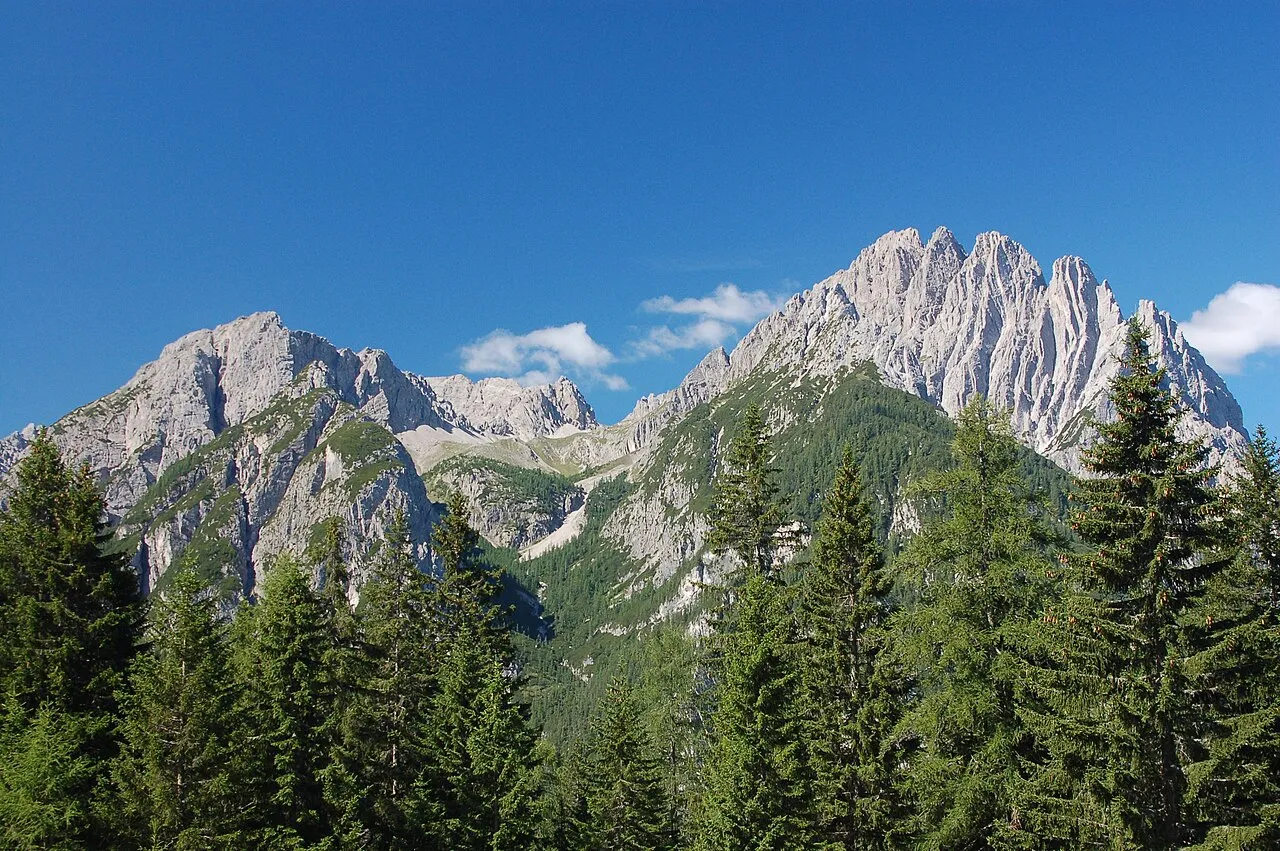
Spitzkofel Michael Kranewitter, Vienna · CC BY 2.5 -
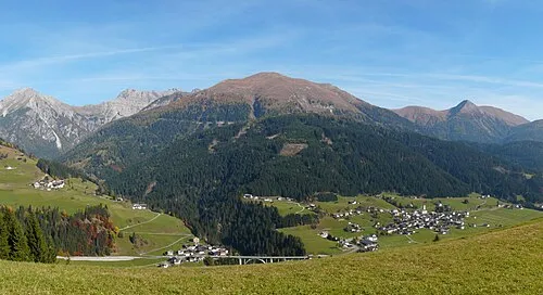
Riebenkofel Ironbernietyrol · CC BY-SA 4.0 -
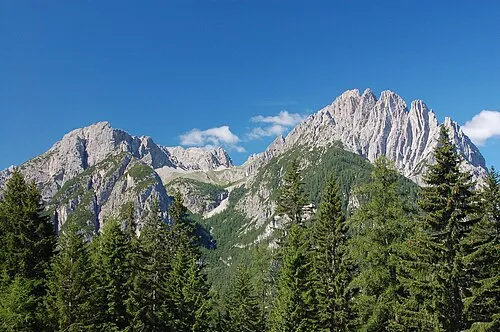
Lienzer Dolomiten Michael Kranewitter, Vienna · CC BY 2.5 -
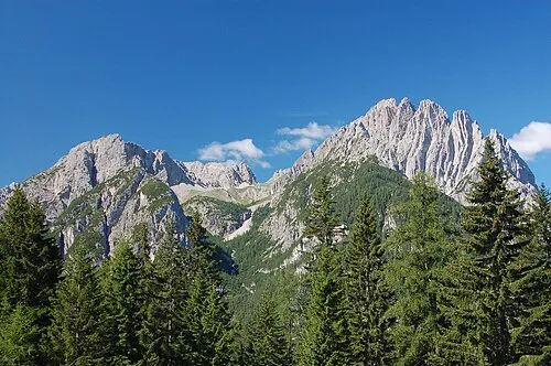
Kreuzkofel Michael Kranewitter, Vienna · CC BY 2.5 -
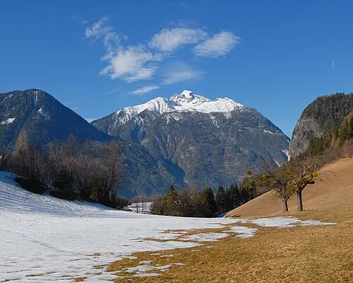
Hochstadel Mihael Grmek · CC BY-SA 3.0


Climate of Kuhleitentörl
This month · November
A cold month
Day -2° · Night -9° · Rain 96 mm
- Hottest month
- July (day 13°)
- Coldest month
- January (night -13°)
- Wettest month
- July (151 mm)
- Driest month
- February (54 mm)
Bars: average monthly low and high temperature. Below: precipitation. Monthly averages for 1970–2000 at about 18 km resolution, adjusted for elevation. Highlighted months are mild and relatively dry. Source: WorldClim 2.1 (CC BY 4.0).
Show values as a table
| Month | Jan | Feb | Mar | Apr | May | Jun | Jul | Aug | Sep | Oct | Nov | Dec |
|---|---|---|---|---|---|---|---|---|---|---|---|---|
| Average high (°C) | -6° | -5° | -2° | 2° | 7° | 10° | 13° | 12° | 9° | 5° | -2° | -5° |
| Average low (°C) | -13° | -13° | -10° | -7° | -2° | 1° | 3° | 3° | 0° | -4° | -9° | -12° |
| Precipitation (mm) | 56 | 54 | 71 | 89 | 114 | 139 | 151 | 138 | 112 | 104 | 96 | 68 |
How to get to Kuhleitentörl
The nearest airport is Trieste Airport (TRS), 114 km to the southeast as the crow flies. The nearest large city is Klagenfurt, 113 km to the east.
Airports
- Trieste Airport (TRS) Ronchi dei Legionari/Trieste 114 kmsoutheast
- Klagenfurt Airport (KLU) Klagenfurt am Wörthersee 116 kmeast
- Salzburg Airport (SZG) Salzburg 117 kmnorth
Nearby large cities
- Klagenfurt Population: 100.3K 113 kmeast
- Salzburg Population: 157.2K 118 kmnorth
- Innsbruck Population: 132.5K 123 kmnorthwest
- Ljubljana Population: 272.2K 150 kmsoutheast
- Munich Population: 1.5M 181 kmnorthwest
Straight-line distances; road distances are longer. Airport data: OurAirports.
Day trips from Kuhleitentörl
Within 100 km: 130 historic and cultural sites, 3,509 natural sites, 650 lakes, rivers and coasts.
0–25 km271 places
- Wolayersee Lake 15 kmS
- Wagenitzsee Lake 20 kmN
- Glanzsee Lake 23 kmNE
- Zagoritzsee Lake 24 kmNW
25–60 km1,606 places
- Sille River 31 kmW
- Fürlegsee Lake 46 kmN
- Vorderer Langtalsee Lake 28 kmN
- Eissee Lake 49 kmNW
60–100 km2,412 places
- Hoher Dachstein Mountain 100 kmNE
- Lake Bohinj Lake 94 kmSE
- Triglav Mountain 87 kmSE
- Rjavina Mountain 90 kmSE
Straight-line distances.
Nearest towns and villages

Nearby attractions & nature
Everything nearby-
Hochstadel Mountain, Lavant2.1 km NE
-
Ober Lavanter Kolben Mountain, Lavant2.2 km NE
-
Riebenkofel Mountain, Lesachtal3.3 km SW
-
Große Sandspitze Mountain, Lavant2.1 km N
-
Laserzkopf Mountain, Lavant2.2 km NW
-
Roter Turm Mountain, Tristach3.1 km NW
-
Wildsender Mountain, Amlach3.1 km W
-
Lumkofel Mountain, Lesachtal3.1 km S
Sources & licences
Data last updated: · 2 independent sources