Matrei in Osttirol
Located in Politischer Bezirk Lienz, Tyrol Coordinates: 47°03′30″ N 12°30′25″ E
- Population
- 4,663
- 4.7K
- Elevation
- 1,949 m
- above sea level
- Local time
- UTC+01:00
- Europe/Vienna · UTC+01:00
- Places inside
- 113
- listed under Matrei in Osttirol
- Airports
- SZG Salzburg Airport90 km
- INN Innsbruck Airport91 km
About Matrei in Osttirol
Matrei in Osttirol is a municipality. Location: Politischer Bezirk Lienz, Tyrol. Population: 4,663. Elevation: 1,949 m. The nearest airport is Salzburg Airport (90 km). Nearby sights include Gritzwald and Frosnitzbach.
Photos of Matrei in Osttirol
-
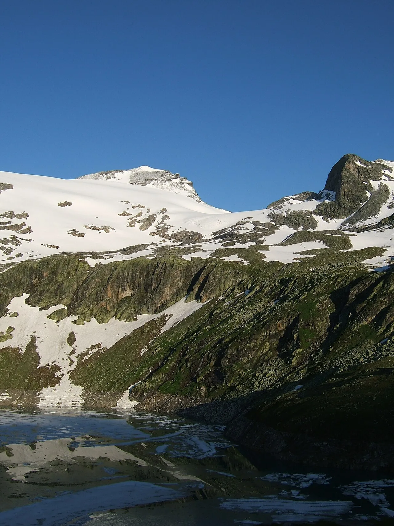
Stubacher Sonnblick Cactus26 · CC BY-SA 3.0 -
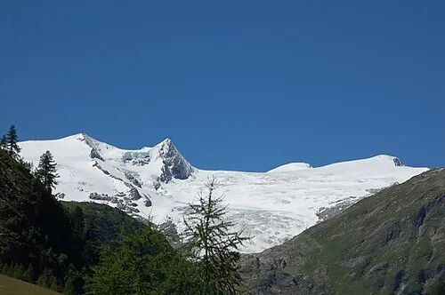
Kleinvenediger Michael Kranewitter, Vienna · CC BY 3.0 -
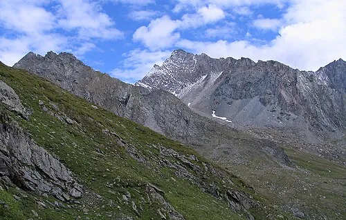
Hoher Eichham Op · CC BY-SA 3.0 -
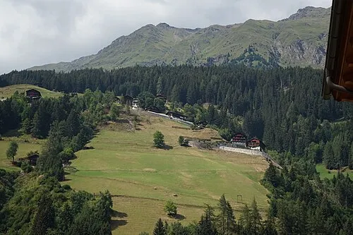
Deferegger Riegel PantheraLeo1359531 · CC BY-SA 4.0 -
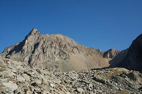
Säulkopf Michael Kranewitter · CC BY-SA 3.0 at


Climate of Matrei in Osttirol
This month · November
A wet month
Day 1° · Night -5° · Rain 113 mm
- Hottest month
- July (day 14°)
- Coldest month
- February (night -9°)
- Wettest month
- July (170 mm)
- Driest month
- February (78 mm)
Bars: average monthly low and high temperature. Below: precipitation. Monthly averages for 1970–2000 at about 18 km resolution, adjusted for elevation. Highlighted months are mild and relatively dry. Source: WorldClim 2.1 (CC BY 4.0).
Show values as a table
| Month | Jan | Feb | Mar | Apr | May | Jun | Jul | Aug | Sep | Oct | Nov | Dec |
|---|---|---|---|---|---|---|---|---|---|---|---|---|
| Average high (°C) | -3° | -3° | 0° | 3° | 8° | 11° | 14° | 14° | 11° | 7° | 1° | -2° |
| Average low (°C) | -9° | -9° | -7° | -4° | 1° | 4° | 6° | 6° | 3° | 0° | -5° | -8° |
| Precipitation (mm) | 82 | 78 | 104 | 113 | 127 | 153 | 170 | 154 | 118 | 105 | 113 | 96 |
How to get to Matrei in Osttirol
The nearest airport is Salzburg Airport (SZG), 90 km to the northeast as the crow flies. The nearest large city is Innsbruck, 87 km to the west.
Airports
- Salzburg Airport (SZG) Salzburg 90 kmnortheast
- Innsbruck Airport (INN) Innsbruck 91 kmwest
- Bolzano Airport (BZO) Bolzano (BZ) 112 kmsouthwest
Nearby large cities
- Innsbruck Population: 132.5K 87 kmwest
- Salzburg Population: 157.2K 92 kmnortheast
- Munich Population: 1.5M 139 kmnorthwest
- Klagenfurt Population: 100.3K 145 kmeast
- Augsburg Population: 301.1K 189 kmnorthwest
Straight-line distances; road distances are longer. Airport data: OurAirports.
Day trips from Matrei in Osttirol
Within 100 km: 198 historic and cultural sites, 4,254 natural sites, 928 lakes, rivers and coasts.
0–25 km835 places
- Fürlegsee Lake 12 kmNE
- Vorderer Langtalsee Lake 22 kmE
- Eissee Lake 9 kmW
- Schmiedingersee Lake 22 kmNE
25–60 km1,514 places
- Sille River 31 kmS
- Brandlsee Lake 28 kmNE
- Brechlsee Lake 27 kmNE
- Kleiner Paarsee Lake 53 kmNE
60–100 km3,031 places
- Hoher Dachstein Mountain 95 kmNE
- Frauenchiemsee Island 91 kmN
- Herreninsel Island 90 kmN
- Piz Gralba Mountain 81 kmSW
Straight-line distances.
Places in Matrei in Osttirol
113 places- 1 Matrei in Osttirol 2.5K
- 2 Waier 232
- 3 Hinterburg 224
- 4 Bichl 220
- 5 Huben 168
- 6 Klaunz 161
- 7 Moos 129
- 8 Kaltenhaus 104
- 9 Seblas 103
- 10 Kienburg 89
- 11 Glanz 76
- 12 Mattersberg 72
- 13 Feld 57
- 14 Klausen 45
- 15 Berg 38
- 16 Gruben 21
- 17 Raneburg 16
- 18 Hinteregg 11
- 19 Tauer 8
Bar: population relative to the most populous place in this list.
Cities & villages4
- Brunner · Village
- Felbertauern · Village
- Guggenberg · Village
- Innergschlöss · Village
Mountains & nature36
- Abretter · Mountain
- Äußerer Knorrkogel · Mountain
- Bärenköpfe · Mountain
- Blauspitze · Mountain
- Bretterwandspitze · Mountain
- Brochelkopf · Mountain
- Brunnerkogel · Mountain
- Bunzkögele · Mountain
- Dabernitzhöhe · Mountain
- Dabernitzkogel · Mountain
- Deferegger Riegel · Mountain
- Fechtebenkogel · Mountain
- Frögegg · Mountain
- Ganotzkogel · Mountain
- Glockenkogel · Mountain
- Gorner · Mountain
- Granatspitze · Mountain
- Grauer Schimmel · Mountain
- Graukogel · Mountain
- Grosser Landeck Kopf · Mountain
- Großer Zunig · Mountain
- Haupmerkopf · Mountain
- Hintereggkogel · Mountain
- Hintere Michlbachspitze · Mountain
- Hinterer Plattenkogel · Mountain
- Hochgasser · Mountain
- Hohe Achsel · Mountain
- Hoher Zaun · Mountain
- Hohes Fenster · Mountain
- Innerer Kesselkopf · Mountain
- Innerer Knorrkogel · Mountain
- Kalser Bärenkopf · Mountain
- Kalser Höhe · Mountain
- Kendlspitze · Mountain
- Kleiner Hexenkopf · Mountain
- Kleiner Muntanitz · Mountain
Heritage & sights1
- Felsenkapelle · Attraction
Nearby attractions & nature
Everything nearby-
Gritzwald Natural site, Tyrol1.2 km SE
-
Frosnitzbach River, Tyrol1.2 km SE
-
Michlbach River, Tyrol2 km SW
-
Seebach River, Tyrol2.2 km NE
-
Petersbach River, Tyrol2.2 km NE
-
Spielmann Mountain, Fusch an der Grossglocknerstrasse3 km W
-
Tauerntal Natural site, Tyrol2.8 km N
-
Raneburger See Lake, Tyrol2.8 km N
Sources & licences
Data last updated: