Keeseck
Located in Prägraten am Großvenediger, Politischer Bezirk Lienz Coordinates: 46°58′23″ N 12°14′43″ E
- Elevation
- 3,173 m
- above sea level
- Local time
- UTC+01:00
- Europe/Vienna · UTC+01:00
- Airports
- INN Innsbruck Airport75 km
- BZO Bolzano Airport91 km
About Keeseck
Keeseck is a mountain. Location: Prägraten am Großvenediger, Politischer Bezirk Lienz. Elevation: 3,173 m. The nearest airport is Innsbruck Airport (75 km). Nearby sights include Alples Spitze and Rosenspitz.
Photos of Keeseck
-
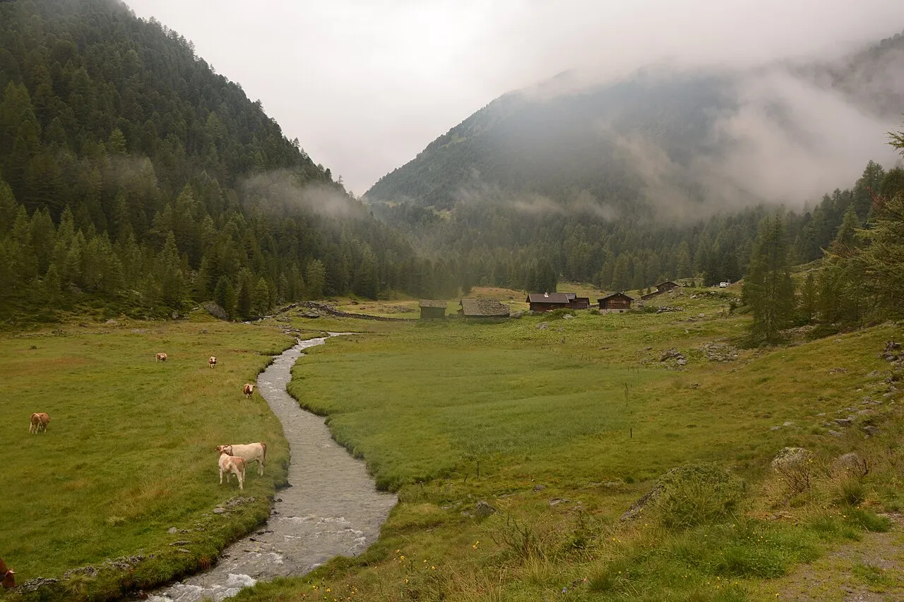
Trojer Alm Michael Kranewitter · CC BY-SA 4.0 -
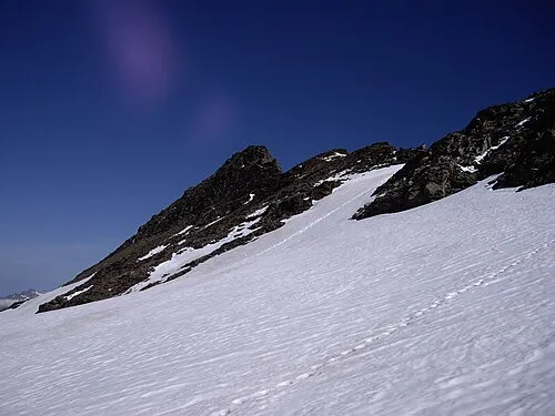
Lenkstein Schmidi · CC BY-SA 3.0 -
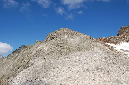
Fennereck Michael Kranewitter · CC BY-SA 3.0 at -
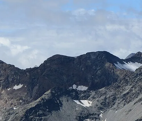
Muklaspitze Michael Kranewitter · CC BY-SA 4.0 -
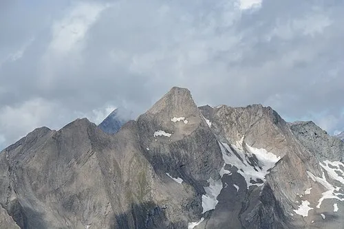
Glockhaus Michael Kranewitter · CC BY-SA 4.0


Climate of Keeseck
This month · November
A wet month
Day -7° · Night -12° · Rain 107 mm
- Hottest month
- July (day 6°)
- Coldest month
- February (night -16°)
- Wettest month
- July (163 mm)
- Driest month
- February (71 mm)
Bars: average monthly low and high temperature. Below: precipitation. Monthly averages for 1970–2000 at about 18 km resolution, adjusted for elevation. Highlighted months are mild and relatively dry. Source: WorldClim 2.1 (CC BY 4.0).
Show values as a table
| Month | Jan | Feb | Mar | Apr | May | Jun | Jul | Aug | Sep | Oct | Nov | Dec |
|---|---|---|---|---|---|---|---|---|---|---|---|---|
| Average high (°C) | -10° | -10° | -8° | -5° | 0° | 4° | 6° | 6° | 3° | -1° | -7° | -9° |
| Average low (°C) | -16° | -16° | -14° | -12° | -7° | -4° | -1° | -1° | -4° | -7° | -12° | -15° |
| Precipitation (mm) | 74 | 71 | 92 | 103 | 122 | 146 | 163 | 150 | 111 | 100 | 107 | 83 |
How to get to Keeseck
The nearest airport is Innsbruck Airport (INN), 75 km to the northwest as the crow flies. The nearest large city is Innsbruck, 72 km to the northwest.
Airports
- Innsbruck Airport (INN) Innsbruck 75 kmnorthwest
- Bolzano Airport (BZO) Bolzano (BZ) 91 kmsouthwest
- Salzburg Airport (SZG) Salzburg 108 kmnortheast
Nearby large cities
- Innsbruck Population: 132.5K 72 kmnorthwest
- Salzburg Population: 157.2K 110 kmnortheast
- Munich Population: 1.5M 139 kmnorth
- Klagenfurt Population: 100.3K 162 kmeast
- Augsburg Population: 301.1K 185 kmnorthwest
Straight-line distances; road distances are longer. Airport data: OurAirports.
Day trips from Keeseck
Within 100 km: 152 historic and cultural sites, 4,247 natural sites, 827 lakes, rivers and coasts.
0–25 km529 places
- Eissee Lake 15 kmNE
- Wildensee Lake 23 kmNE
- Unterer Gerlossee Lake 23 kmN
- Thurntaler Seen Lake 25 kmS
25–60 km1,637 places
- Sille River 26 kmSE
- Fürlegsee Lake 33 kmNE
- Vorderer Langtalsee Lake 41 kmE
- Brandlsee Lake 49 kmNE
60–100 km3,060 places
- Herreninsel Island 99 kmN
- Piz Gralba Mountain 61 kmSW
- Piz Miara Mountain 61 kmSW
- Croda Nera Mountain 70 kmSW
Straight-line distances.
Nearest towns and villages
-
St. Jakob in Defereggen Municipality, Politischer Bezirk Lienz3.5 km S
-
Oberrotte Village, St. Jakob in Defereggen7.1 km SE
-
Hinterbichl Village, Prägraten am Großvenediger8.9 km NE
-
Unterrotte Village, St. Jakob in Defereggen9.2 km SE
-
Sankt Andrä Village, Prägraten am Großvenediger11 km NE
-
Innerrotte Village, St. Jakob in Defereggen9.1 km SE
Nearby attractions & nature
Everything nearby-
Alples Spitze Mountain, St. Jakob in Defereggen1.9 km SE
-
Rosenspitz Mountain, Prägraten am Großvenediger2.3 km NE
-
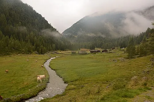 Trojer Alm Mountain, St. Jakob in Defereggen4.3 km SE
-
Großschober Mountain, Prägraten am Großvenediger3 km N
-
Seespitze Mountain, St. Jakob in Defereggen3.3 km SE
-
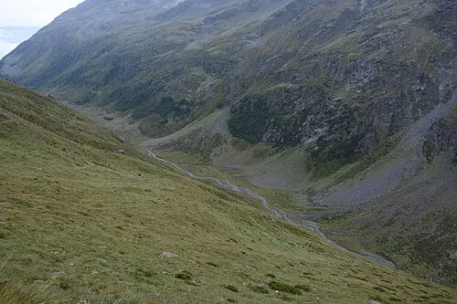 Trojeralmtal Natural site, Tyrol4.1 km SE
-
Totenkarspitze Mountain, Prägraten am Großvenediger3.3 km NW
-
Törlspitze Mountain, St. Jakob in Defereggen3.6 km W
More nature in Austria
-
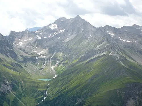 Lasörling Mountain, Prägraten am Großvenediger8.3 km E
-
Hohes Kreuz Mountain, Prägraten am Großvenediger3.7 km NW
-
Gösleswand Mountain, Prägraten am Großvenediger3.9 km E
-
Stampfleskopf Mountain, Prägraten am Großvenediger4.3 km E
-
Ogasil Spitze Mountain, Prägraten am Großvenediger5.1 km N
-
Kriselachspitze Mountain, Prägraten am Großvenediger6 km E
Sources & licences
Data last updated: