Gehrenspitze
Located in Wängle, Politischer Bezirk Reutte Coordinates: 47°30′00″ N 10°39′18″ E
- Elevation
- 2,163 m
- above sea level
- Local time
- UTC+01:00
- Europe/Vienna · UTC+01:00
- Airports
- INN Innsbruck Airport58 km
- FMM Memmingen Allgau Airport63 km
About Gehrenspitze
Gehrenspitze is a mountain. Location: Wängle, Politischer Bezirk Reutte. Elevation: 2,163 m. The nearest airport is Innsbruck Airport (58 km). Nearby sights include Raintal and Schneidspitze.
Photos of Gehrenspitze
-
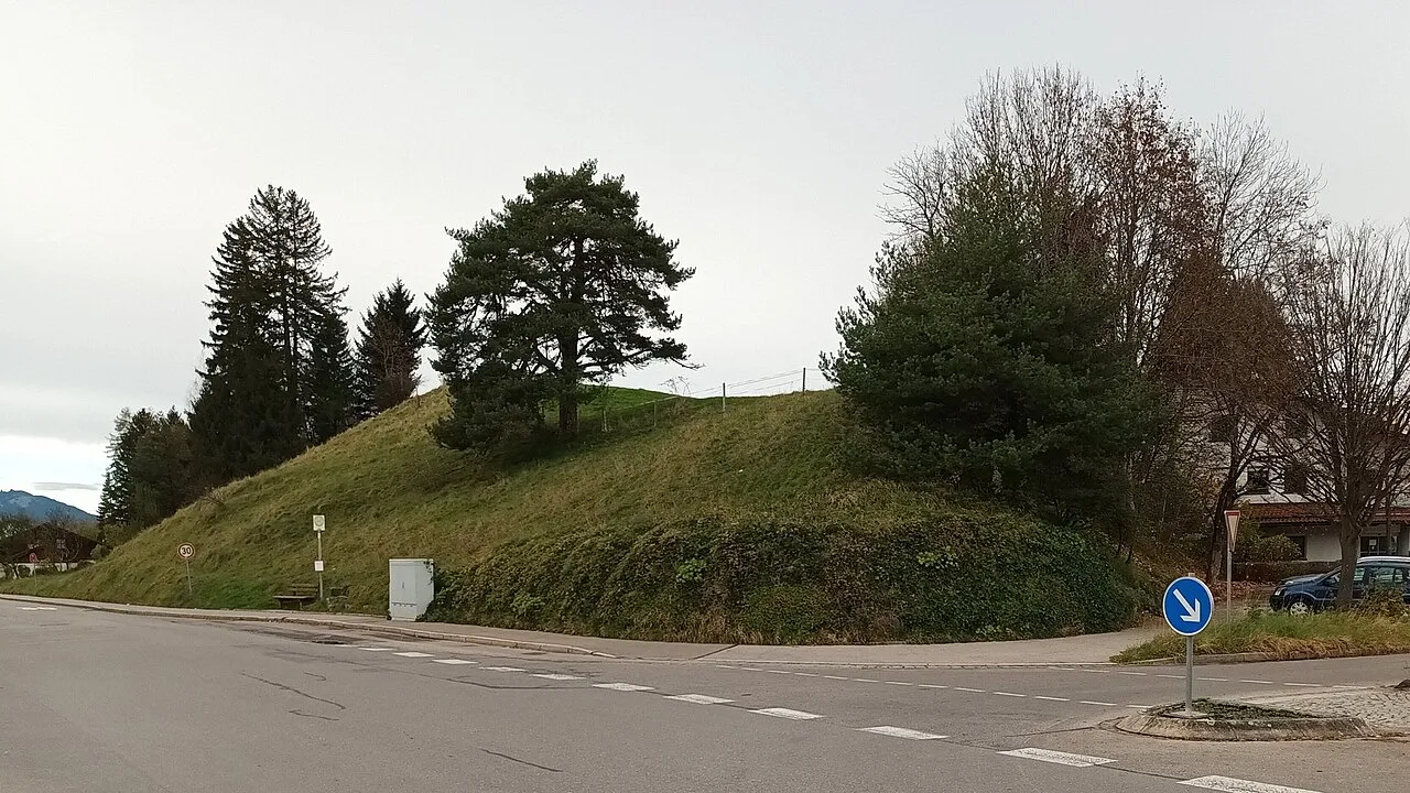
Oblisberg Bruno413 · CC BY-SA 4.0 -
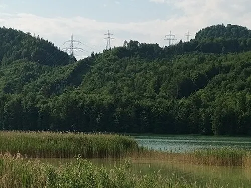
Burkenbichlberg Bruno413 · CC BY-SA 4.0 -
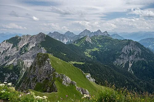
Tannheimer Gebirge Tuxyso · CC BY-SA 4.0 -
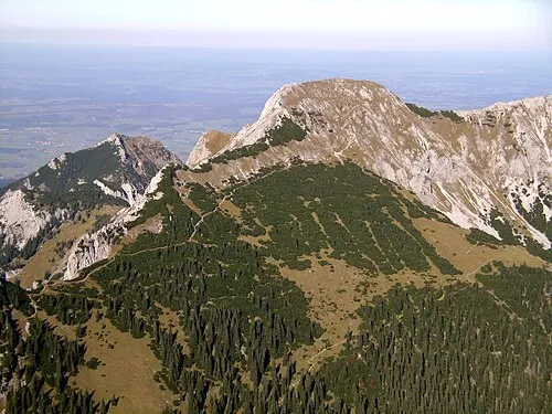
Schlicke Svickova · Public domain -
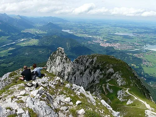
Pilgerschrofen Flodur63 · CC BY-SA 4.0


Climate of Gehrenspitze
This month · November
A cold month
Day -1° · Night -7° · Rain 91 mm
- Hottest month
- July (day 13°)
- Coldest month
- January (night -11°)
- Wettest month
- July (168 mm)
- Driest month
- February (76 mm)
Bars: average monthly low and high temperature. Below: precipitation. Monthly averages for 1970–2000 at about 18 km resolution, adjusted for elevation. Highlighted months are mild and relatively dry. Source: WorldClim 2.1 (CC BY 4.0).
Show values as a table
| Month | Jan | Feb | Mar | Apr | May | Jun | Jul | Aug | Sep | Oct | Nov | Dec |
|---|---|---|---|---|---|---|---|---|---|---|---|---|
| Average high (°C) | -4° | -4° | -1° | 2° | 8° | 11° | 13° | 13° | 10° | 5° | -1° | -4° |
| Average low (°C) | -11° | -11° | -9° | -6° | -1° | 2° | 4° | 4° | 1° | -2° | -7° | -10° |
| Precipitation (mm) | 77 | 76 | 86 | 94 | 115 | 155 | 168 | 155 | 107 | 82 | 91 | 87 |
How to get to Gehrenspitze
The nearest airport is Innsbruck Airport (INN), 58 km to the southeast as the crow flies. The nearest large city is Innsbruck, 62 km to the southeast.
Airports
- Innsbruck Airport (INN) Innsbruck 58 kmsoutheast
- Memmingen Allgau Airport (FMM) Memmingen 63 kmnorthwest
- Sankt Gallen Altenrhein Airport (ACH) St. Gallen 82 kmwest
Nearby large cities
- Innsbruck Population: 132.5K 62 kmsoutheast
- Augsburg Population: 301.1K 99 kmnorth
- Munich Population: 1.5M 99 kmnortheast
- Ulm Population: 120.5K 112 kmnorthwest
- Winterthur Population: 111.8K 145 kmwest
Straight-line distances; road distances are longer. Airport data: OurAirports.
Day trips from Gehrenspitze
Within 100 km: 463 historic and cultural sites, 4,991 natural sites, 1,255 lakes, rivers and coasts.
0–25 km703 places
- Weissensee Lake 22 kmSE
- Vilsalpsee Lake 12 kmW
- Traualpsee Lake 12 kmSW
- Plansee Lake 12 kmE
25–60 km2,184 places
- Bayerisches Oberland Mountain 56 kmE
- Schloss Hirschberg am Haarsee Historic site 55 kmNE
- Kapfkopf Mountain 49 kmSW
- Spatlakopf Mountain 60 kmS
60–100 km3,822 places
- Lake Davos Lake 97 kmSW
- Weiher Diepoldsau Lake 75 kmW
- Gotschnaseeli Lake 94 kmSW
- Uttwiler Weiher Lake 99 kmW
Straight-line distances.
Nearest towns and villages
Nearby attractions & nature
Everything nearby-
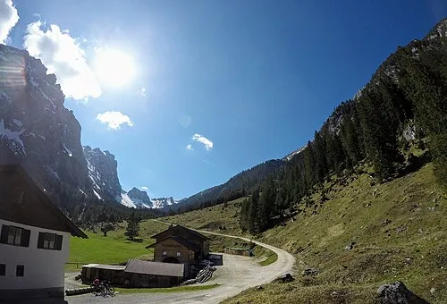 Raintal Natural site, Tyrol1.5 km N
-
Schneidspitze Mountain, Wängle1.1 km SW
-
Hahlekopf Mountain, Musau1.4 km NE
-
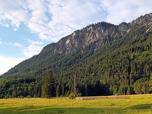 Musauer Berg Mountain, Musau2.5 km N
-
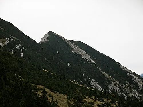 Bugschrofen Mountain, Musau2.5 km NW
-
Köllenspitze Mountain, Musau1.7 km W
-
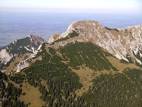 Großer Schlicke Mountain, Musau3.1 km NW
-
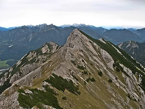 Karretschrofen Mountain, Musau2.7 km NW
Sources & licences
Data last updated: