Wängle
Located in Politischer Bezirk Reutte, Tyrol Coordinates: 47°29′16″ N 10°39′57″ E
- Population
- 931
- 931
- Elevation
- 1,242 m
- above sea level
- Local time
- UTC+01:00
- Europe/Vienna · UTC+01:00
- Places inside
- 6
- listed under Wängle
About Wängle
Wängle is a municipality. Location: Politischer Bezirk Reutte, Tyrol. Population: 931. Elevation: 1,242 m.
In comparison
- No. 11 of 37 places in Politischer Bezirk Reutte by population
- Nearest larger town: Höfen, 2 km S
- 128 sights and natural places within 10 km Gehrenspitze, Schneidspitze
- Listed here: Village: 4, Mountain: 2
Places in Wängle
6 places-
Wängle Village552
-
Winkl Village179
-
Holz Village164
-
Hinterbichl Village36
-
Gehrenspitze Mountain
-
Schneidspitze Mountain
Nearby attractions & nature
Everything nearby-
Hornbergle Mountain, Höfen2 km SW
-
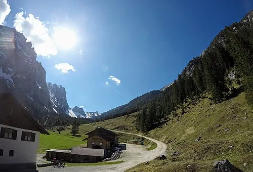 Raintal Natural site, Tyrol2.9 km N
-
Hahnenkamm Mountain, Höfen2.1 km SW
-
Kostarieskapelle Attraction, Lechaschau2.2 km NE
-
Hahlekopf Mountain, Musau2.4 km N
-
Schallerkapelle Attraction, Musau2.4 km N
-
Frauenwald Natural site, Tyrol2.5 km NE
-
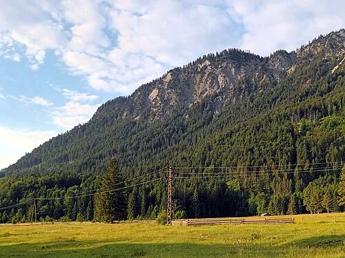 Musauer Berg Mountain, Musau3.8 km N
Sources & licences
Data last updated: