Brandberg
Located in Politischer Bezirk Schwaz, Tyrol Coordinates: 47°06′51″ N 12°00′48″ E
- Population
- 358
- 358
- Elevation
- 1,876 m
- above sea level
- Local time
- UTC+01:00
- Europe/Vienna · UTC+01:00
- Places inside
- 23
- listed under Brandberg
- Airports
- INN Innsbruck Airport53 km
- BZO Bolzano Airport90 km
About Brandberg
Brandberg is a municipality. Location: Politischer Bezirk Schwaz, Tyrol. Population: 358. Elevation: 1,876 m. The nearest airport is Innsbruck Airport (53 km). Nearby sights include Sunderbach and Hundskehlbach.
Photos of Brandberg
-
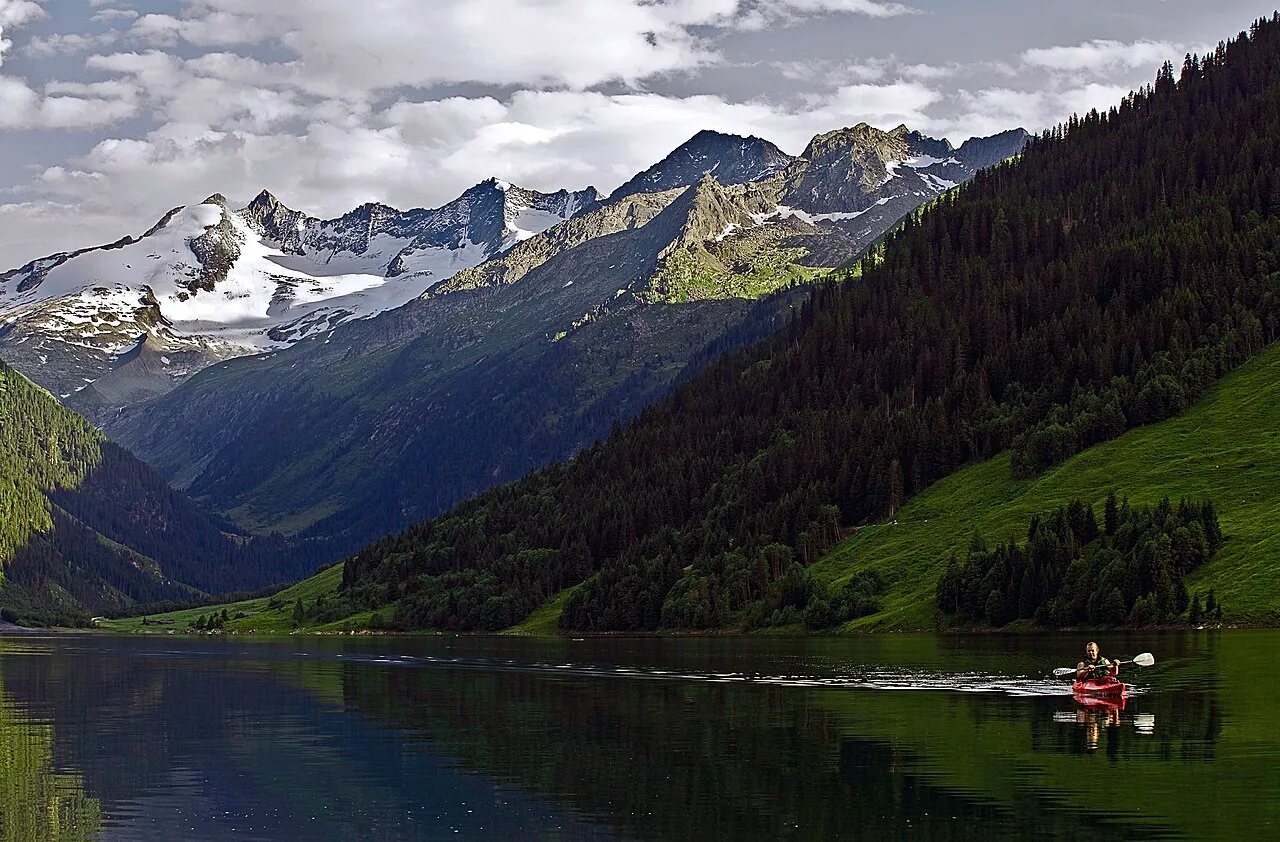
Wildgerlosspitze DanielZanetti · CC BY-SA 3.0 -
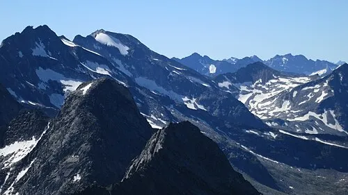
Roßwandspitze Tom Hofer · CC BY-SA 3.0 de -
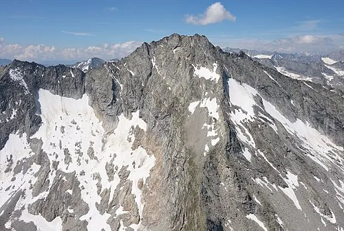
Kleinspitz Carsten Steger · CC BY-SA 4.0 -
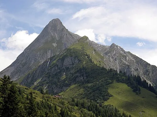
Brandberger Kolm Axel Mauruszat · CC BY 3.0 de -
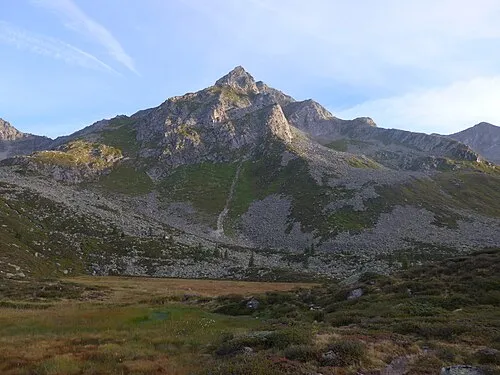
Dreiecker Cactus26 · CC BY-SA 3.0


Climate of Brandberg
This month · November
A wet month
Day 2° · Night -3° · Rain 107 mm
- Hottest month
- July (day 15°)
- Coldest month
- February (night -8°)
- Wettest month
- July (164 mm)
- Driest month
- February (74 mm)
Bars: average monthly low and high temperature. Below: precipitation. Monthly averages for 1970–2000 at about 18 km resolution, adjusted for elevation. Highlighted months are mild and relatively dry. Source: WorldClim 2.1 (CC BY 4.0).
Show values as a table
| Month | Jan | Feb | Mar | Apr | May | Jun | Jul | Aug | Sep | Oct | Nov | Dec |
|---|---|---|---|---|---|---|---|---|---|---|---|---|
| Average high (°C) | -2° | -2° | 1° | 3° | 8° | 12° | 15° | 15° | 11° | 7° | 2° | -1° |
| Average low (°C) | -8° | -8° | -6° | -3° | 2° | 5° | 7° | 7° | 5° | 2° | -3° | -6° |
| Precipitation (mm) | 78 | 74 | 99 | 106 | 122 | 148 | 164 | 148 | 109 | 96 | 107 | 87 |
How to get to Brandberg
The nearest airport is Innsbruck Airport (INN), 53 km to the west as the crow flies. The nearest large city is Innsbruck, 50 km to the west.
Airports
- Innsbruck Airport (INN) Innsbruck 53 kmwest
- Bolzano Airport (BZO) Bolzano (BZ) 90 kmsouthwest
- Salzburg Airport (SZG) Salzburg 106 kmnortheast
Nearby large cities
- Innsbruck Population: 132.5K 50 kmwest
- Salzburg Population: 157.2K 109 kmnortheast
- Munich Population: 1.5M 118 kmnorth
- Augsburg Population: 301.1K 163 kmnorthwest
- Klagenfurt Population: 100.3K 183 kmeast
Straight-line distances; road distances are longer. Airport data: OurAirports.
Day trips from Brandberg
Within 100 km: 181 historic and cultural sites, 4,478 natural sites, 998 lakes, rivers and coasts.
0–25 km446 places
- Unterer Gerlossee Lake 11 kmNE
- Speicher Stillup Lake 10 kmW
- Ober Gerlossee Lake 10 kmNE
- Seebachsee Lake 18 kmNE
25–60 km1,755 places
- Sille River 49 kmSE
- Fürlegsee Lake 46 kmE
- Vorderer Langtalsee Lake 60 kmE
- Eissee Lake 29 kmE
60–100 km3,456 places
- Bayerisches Oberland Mountain 77 kmNW
- Frauenchiemsee Island 90 kmN
- Schloss Hirschberg am Haarsee Historic site 98 kmNW
- Herreninsel Island 88 kmN
Straight-line distances.
Places in Brandberg
23 placesBar: population relative to the most populous place in this list.
Cities & villages3
- Häusling · Village
- Persal · Village
- Zellberger · Village
Mountains & nature19
- Ahornspitze · Mountain
- Aukar Kopf · Mountain
- Äußere Gfallschneid · Mountain
- Brandberger Kolm · Mountain
- Cima di Campo · Mountain
- Dreiecker · Mountain
- Großer Magner · Mountain
- Hintere Stangen Spitze · Mountain
- Hochfeld · Mountain
- Hohe Ribler Spitze · Mountain
- Hohe Warte · Mountain
- Hohe Warte · Mountain
- Innere Gfallschneid · Mountain
- Kleinspitz · Mountain
- Mugler Spitze · Mountain
- Popberg-Spitze · Mountain
- Rainbachspitze · Mountain
- Reichenspitze · Mountain
- Seekar Kopf · Mountain
Nearby attractions & nature
Everything nearby-
Sunderbach River, Tyrol1 km W
-
Hundskehlbach River, Tyrol2.6 km E
-
Roßwandspitze Mountain, Mayrhofen5.9 km SW
-
Rotkopf Mountain, Gerlos4.3 km N
-
Zillerkopf Mountain, Gerlos4.9 km NE
-
Vordere Stangenspitze Mountain, Mayrhofen5.9 km SW
-
Grundschartner Mountain, Mayrhofen5 km W
-
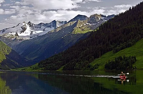 Wildgerlosspitze Mountain, Krimml7.2 km NE
Sources & licences
Data last updated: