Großer Magner
Located in Brandberg, Politischer Bezirk Schwaz Coordinates: 47°06′00″ N 12°04′00″ E
- Elevation
- 2,594 m
- above sea level
- Local time
- UTC+01:00
- Europe/Vienna · UTC+01:00
- Airports
- INN Innsbruck Airport58 km
- BZO Bolzano Airport91 km
About Großer Magner
Großer Magner is a mountain. Location: Brandberg, Politischer Bezirk Schwaz. Elevation: 2,594 m. The nearest airport is Innsbruck Airport (58 km). Nearby sights include Kleinspitz and Zillergründl.
Photos of Großer Magner
-
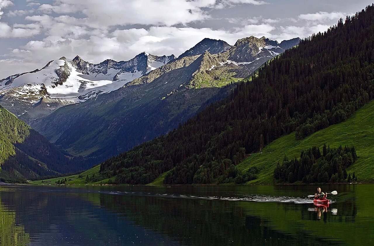
Wildgerlosspitze DanielZanetti · CC BY-SA 3.0 -
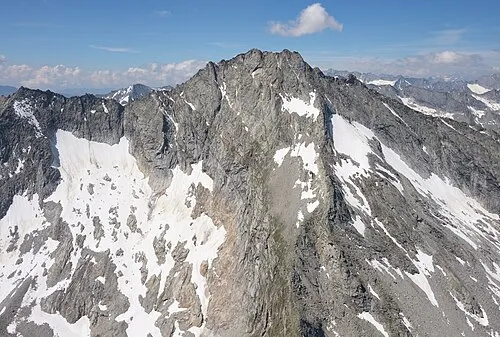
Kleinspitz Carsten Steger · CC BY-SA 4.0 -
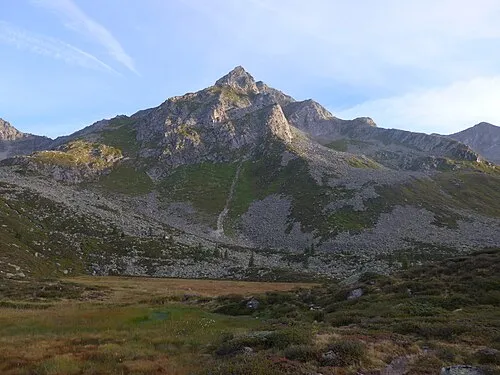
Dreiecker Cactus26 · CC BY-SA 3.0 -
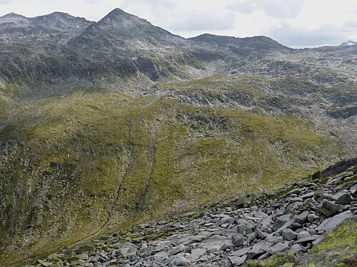
Tauernkopf Whgler · CC BY-SA 4.0 -
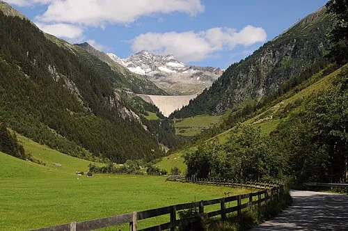
Zillergründl Feel free to use my photos, but please mention me as the author and if you want send me a message . or · CC BY-SA 3.0 at


Climate of Großer Magner
This month · November
A wet month
Day -3° · Night -8° · Rain 107 mm
- Hottest month
- July (day 10°)
- Coldest month
- February (night -13°)
- Wettest month
- July (164 mm)
- Driest month
- February (74 mm)
Bars: average monthly low and high temperature. Below: precipitation. Monthly averages for 1970–2000 at about 18 km resolution, adjusted for elevation. Highlighted months are mild and relatively dry. Source: WorldClim 2.1 (CC BY 4.0).
Show values as a table
| Month | Jan | Feb | Mar | Apr | May | Jun | Jul | Aug | Sep | Oct | Nov | Dec |
|---|---|---|---|---|---|---|---|---|---|---|---|---|
| Average high (°C) | -7° | -6° | -4° | -2° | 4° | 7° | 10° | 10° | 7° | 3° | -3° | -6° |
| Average low (°C) | -13° | -13° | -10° | -8° | -3° | 0° | 2° | 3° | 0° | -3° | -8° | -11° |
| Precipitation (mm) | 78 | 74 | 99 | 106 | 122 | 148 | 164 | 148 | 109 | 96 | 107 | 87 |
How to get to Großer Magner
The nearest airport is Innsbruck Airport (INN), 58 km to the west as the crow flies. The nearest large city is Innsbruck, 54 km to the west.
Airports
- Innsbruck Airport (INN) Innsbruck 58 kmwest
- Bolzano Airport (BZO) Bolzano (BZ) 91 kmsouthwest
- Salzburg Airport (SZG) Salzburg 105 kmnortheast
Nearby large cities
- Innsbruck Population: 132.5K 54 kmwest
- Salzburg Population: 157.2K 107 kmnortheast
- Munich Population: 1.5M 121 kmnorth
- Augsburg Population: 301.1K 166 kmnorthwest
- Klagenfurt Population: 100.3K 179 kmeast
Straight-line distances; road distances are longer. Airport data: OurAirports.
Day trips from Großer Magner
Within 100 km: 178 historic and cultural sites, 4,466 natural sites, 978 lakes, rivers and coasts.
0–25 km495 places
- Eissee Lake 24 kmE
- Unterer Gerlossee Lake 9 kmNE
- Oberseitsee Lake 24 kmSE
- Bödensee Lake 22 kmSE
25–60 km1,702 places
- Sille River 45 kmSE
- Fürlegsee Lake 42 kmE
- Vorderer Langtalsee Lake 56 kmE
- Brandlsee Lake 55 kmE
60–100 km3,425 places
- Bayerisches Oberland Mountain 81 kmNW
- Frauenchiemsee Island 90 kmN
- Herreninsel Island 88 kmN
- Piz Gralba Mountain 68 kmS
Straight-line distances.
Nearest towns and villages
-
Predoi/Prettau Municipality, South Tyrol7.2 km SE
-
Casere-Knappenegg Village, Predoi/Prettau7.2 km SE
-
Prettau Village, Predoi/Prettau7.3 km SE
-
Weiher Village, Predoi/Prettau7.5 km S
-
Marche Village, Ahrntal9.1 km S
-
Am Griesbach Village, Ahrntal8.8 km S
Nearby attractions & nature
Everything nearby-
Kleinspitz Mountain, Brandberg1.6 km SE
-
Zillergründl Natural site, Tyrol2.5 km E
-
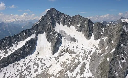 Rauchkofel Mountain, Italy3.3 km SE
-
Hohe Warte Mountain, Brandberg3.1 km SW
-
Gamsspitzl Mountain, Predoi/Prettau4.2 km SE
-
Hohe Warte Mountain, Brandberg3.6 km SW
-
Sauwipfel Mountain, Predoi/Prettau4.3 km SE
-
Hundskehlbach River, Tyrol2.6 km NW
More nature in Austria
-
Dreiecker Mountain, Brandberg5.4 km E
-
Seekar Kopf Mountain, Brandberg3.8 km E
-
Hohe Ribler Spitze Mountain, Brandberg3.8 km W
-
Aukar Kopf Mountain, Brandberg4.5 km NW
-
Rainbachspitze Mountain, Brandberg4.8 km E
-
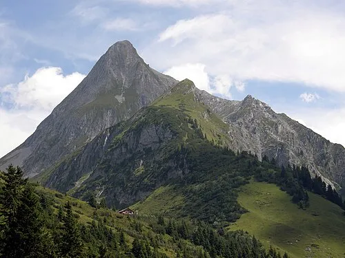 Brandberger Kolm Mountain, Brandberg11 km NW
Sources & licences
Data last updated: