Breiten Spitze
Located in Finkenberg, Politischer Bezirk Schwaz Coordinates: 47°02′00″ N 11°44′00″ E
- Elevation
- 2,738 m
- above sea level
- Local time
- UTC+01:00
- Europe/Vienna · UTC+01:00
- Airports
- INN Innsbruck Airport39 km
- BZO Bolzano Airport71 km
About Breiten Spitze
Breiten Spitze is a mountain. Location: Finkenberg, Politischer Bezirk Schwaz. Elevation: 2,738 m. The nearest airport is Innsbruck Airport (39 km). Nearby sights include Grosser Greiner and Greiner Sonnwand.
Photos of Breiten Spitze
-
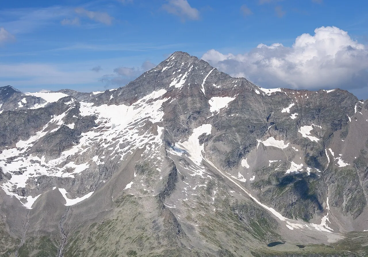
Schrammacher Carsten Steger · CC BY-SA 4.0 -
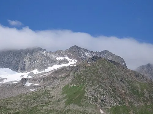
Schönbichler Horn Schlesinger · CC BY-SA 3.0 -
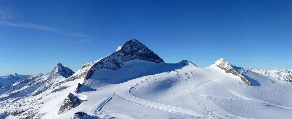
Olperer earnie81 · CC BY-SA 2.0 de -
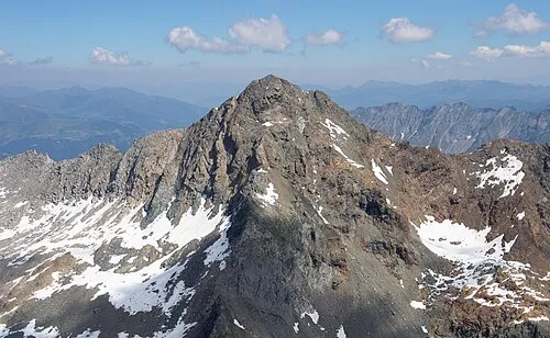
Ochsner Carsten Steger · CC BY-SA 4.0 -
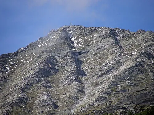
Grosser Ingent Axel Mauruszat · CC BY 3.0 de


Climate of Breiten Spitze
This month · November
A cold month
Day -4° · Night -9° · Rain 92 mm
- Hottest month
- July (day 9°)
- Coldest month
- February (night -14°)
- Wettest month
- July (153 mm)
- Driest month
- February (62 mm)
Bars: average monthly low and high temperature. Below: precipitation. Monthly averages for 1970–2000 at about 18 km resolution, adjusted for elevation. Highlighted months are mild and relatively dry. Source: WorldClim 2.1 (CC BY 4.0).
Show values as a table
| Month | Jan | Feb | Mar | Apr | May | Jun | Jul | Aug | Sep | Oct | Nov | Dec |
|---|---|---|---|---|---|---|---|---|---|---|---|---|
| Average high (°C) | -8° | -7° | -5° | -2° | 3° | 7° | 9° | 9° | 6° | 2° | -4° | -7° |
| Average low (°C) | -14° | -14° | -11° | -9° | -4° | -1° | 1° | 2° | -1° | -5° | -9° | -12° |
| Precipitation (mm) | 65 | 62 | 84 | 91 | 112 | 142 | 153 | 138 | 102 | 85 | 92 | 74 |
How to get to Breiten Spitze
The nearest airport is Innsbruck Airport (INN), 39 km to the northwest as the crow flies. The nearest large city is Innsbruck, 36 km to the northwest.
Airports
- Innsbruck Airport (INN) Innsbruck 39 kmnorthwest
- Bolzano Airport (BZO) Bolzano (BZ) 71 kmsouthwest
- Salzburg Airport (SZG) Salzburg 128 kmnortheast
Nearby large cities
- Innsbruck Population: 132.5K 36 kmnorthwest
- Munich Population: 1.5M 123 kmnorth
- Salzburg Population: 157.2K 131 kmnortheast
- Augsburg Population: 301.1K 161 kmnorth
- Ingolstadt Population: 120.7K 194 kmnorth
Straight-line distances; road distances are longer. Airport data: OurAirports.
Day trips from Breiten Spitze
Within 100 km: 160 historic and cultural sites, 4,422 natural sites, 891 lakes, rivers and coasts.
0–25 km353 places
- Wild See Lake 14 kmW
- Torseen Lake 15 kmN
- Juns See Lake 13 kmNW
- Brennersee Lake 18 kmW
25–60 km1,419 places
- Piz Gralba Mountain 57 kmS
- Piz Miara Mountain 57 kmS
- Wildsee Lake 52 kmNW
- Eissee Lake 50 kmE
60–100 km3,701 places
- Bayerisches Oberland Mountain 74 kmN
- Schloss Hirschberg am Haarsee Historic site 95 kmNW
- Piz Russenna Mountain 100 kmW
- Piz Nair Mountain 99 kmW
Straight-line distances.
Nearest towns and villages

Nearby attractions & nature
Everything nearby-
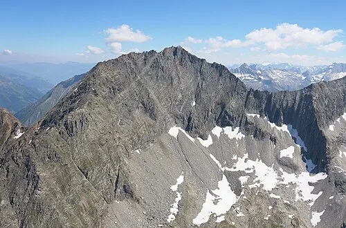 Grosser Greiner Mountain, Finkenberg2.1 km SE
-
Greiner Sonnwand Mountain, Finkenberg2.7 km SE
-
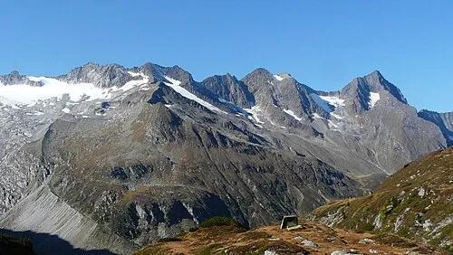 Talggenkopf Mountain, Finkenberg3.1 km SE
-
Furtschaglkopf Mountain, Finkenberg3.3 km S
-
Grosser Ingent Mountain, Mayrhofen4.2 km NE
-
Schönbichler Horn Mountain, Finkenberg4.2 km SE
-
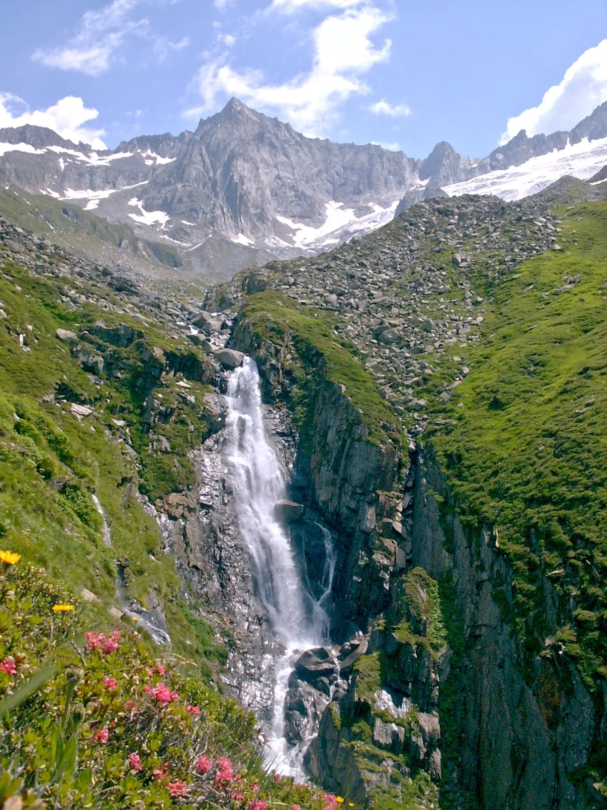 Furtschagel Spitze Mountain, Finkenberg4.5 km SE
-
Kleiner Hochsteller Mountain, Finkenberg3.1 km SW
More nature in Austria
-
Olperer Mountain, Finkenberg6.1 km W
-
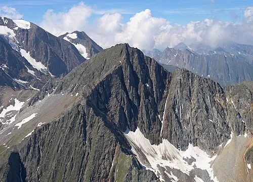 Hochsteller Mountain, Finkenberg4.4 km S
-
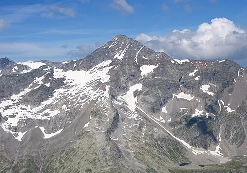 Schrammacher Mountain, Finkenberg6.9 km W
-
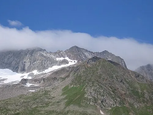 Krähenfuss Mountain, Finkenberg4.7 km SE
-
Haupenhöhe Mountain, Finkenberg3.9 km S
-
 Schönbichlerhorn Mountain, Finkenberg4.1 km SE
Sources & licences
Data last updated: