Birberg Spitze
Located in Mayrhofen, Politischer Bezirk Schwaz Coordinates: 47°05′00″ N 11°53′00″ E
- Elevation
- 2,053 m
- above sea level
- Local time
- UTC+01:00
- Europe/Vienna · UTC+01:00
- Airports
- INN Innsbruck Airport45 km
- BZO Bolzano Airport81 km
About Birberg Spitze
Birberg Spitze is a mountain. Location: Mayrhofen, Politischer Bezirk Schwaz. Elevation: 2,053 m. The nearest airport is Innsbruck Airport (45 km). Nearby sights include Gigalitz and Drei Könige.
Photos of Birberg Spitze
-
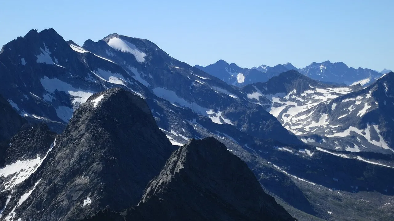
Roßwandspitze Tom Hofer · CC BY-SA 3.0 de -
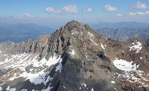
Ochsner Carsten Steger · CC BY-SA 4.0 -
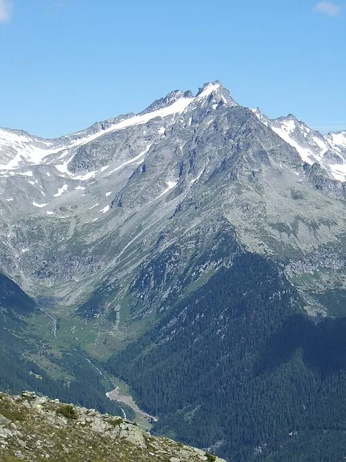
Punta di Conio Cactus26 · CC BY-SA 3.0 -
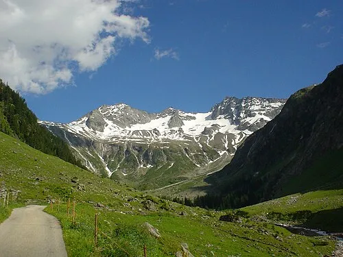
Croda Verde DIRA at German Wikipedia · CC BY-SA 3.0 -
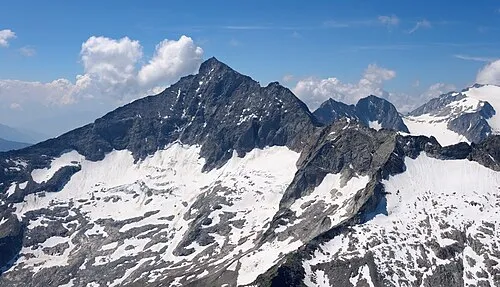
Monte Lovello Carsten Steger · CC BY-SA 4.0


Climate of Birberg Spitze
This month · November
A cold month
Day 1° · Night -5° · Rain 98 mm
- Hottest month
- July (day 14°)
- Coldest month
- February (night -9°)
- Wettest month
- July (158 mm)
- Driest month
- February (67 mm)
Bars: average monthly low and high temperature. Below: precipitation. Monthly averages for 1970–2000 at about 18 km resolution, adjusted for elevation. Highlighted months are mild and relatively dry. Source: WorldClim 2.1 (CC BY 4.0).
Show values as a table
| Month | Jan | Feb | Mar | Apr | May | Jun | Jul | Aug | Sep | Oct | Nov | Dec |
|---|---|---|---|---|---|---|---|---|---|---|---|---|
| Average high (°C) | -3° | -3° | 0° | 3° | 8° | 11° | 14° | 14° | 10° | 6° | 1° | -2° |
| Average low (°C) | -9° | -9° | -7° | -4° | 1° | 4° | 6° | 6° | 3° | 0° | -5° | -8° |
| Precipitation (mm) | 70 | 67 | 90 | 96 | 116 | 144 | 158 | 143 | 105 | 89 | 98 | 79 |
How to get to Birberg Spitze
The nearest airport is Innsbruck Airport (INN), 45 km to the northwest as the crow flies. The nearest large city is Innsbruck, 42 km to the northwest.
Airports
- Innsbruck Airport (INN) Innsbruck 45 kmnorthwest
- Bolzano Airport (BZO) Bolzano (BZ) 81 kmsouthwest
- Salzburg Airport (SZG) Salzburg 116 kmnortheast
Nearby large cities
- Innsbruck Population: 132.5K 42 kmnorthwest
- Salzburg Population: 157.2K 118 kmnortheast
- Munich Population: 1.5M 119 kmnorth
- Augsburg Population: 301.1K 161 kmnorthwest
- Ingolstadt Population: 120.7K 190 kmnorth
Straight-line distances; road distances are longer. Airport data: OurAirports.
Day trips from Birberg Spitze
Within 100 km: 164 historic and cultural sites, 4,509 natural sites, 960 lakes, rivers and coasts.
0–25 km435 places
- Unterer Gerlossee Lake 21 kmNE
- Torseen Lake 18 kmNW
- Juns See Lake 20 kmW
- Schlegeisspeicher Lake 15 kmW
25–60 km1,552 places
- Sille River 54 kmSE
- Fürlegsee Lake 56 kmE
- Wildsee Lake 59 kmNW
- Eissee Lake 38 kmE
60–100 km3,646 places
- Bayerisches Oberland Mountain 74 kmNW
- Frauenchiemsee Island 97 kmNE
- Schloss Hirschberg am Haarsee Historic site 95 kmNW
- Herreninsel Island 95 kmNE
Straight-line distances.
Nearest towns and villages
-
Ginzling Village, Mayrhofen5.9 km W
-
Mayrhofen Village, Mayrhofen9.4 km N
-
Dornauberg Village, Mayrhofen5.4 km W
-
Finkenberg Village, Finkenberg9 km NW
-
Brandberg Village, Brandberg9.4 km N
-
Ahrntal Municipality, South Tyrol12 km SE
Nearby attractions & nature
Everything nearby-
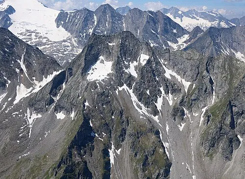 Gigalitz Mountain, Mayrhofen1.9 km S
-
Drei Könige Mountain, Mayrhofen1.3 km W
-
Kreuz Spitze Mountain, Mayrhofen2.5 km S
-
Rofel Spitze Mountain, Mayrhofen2.2 km NW
-
Floitenturm Mountain, Mayrhofen2.2 km NW
-
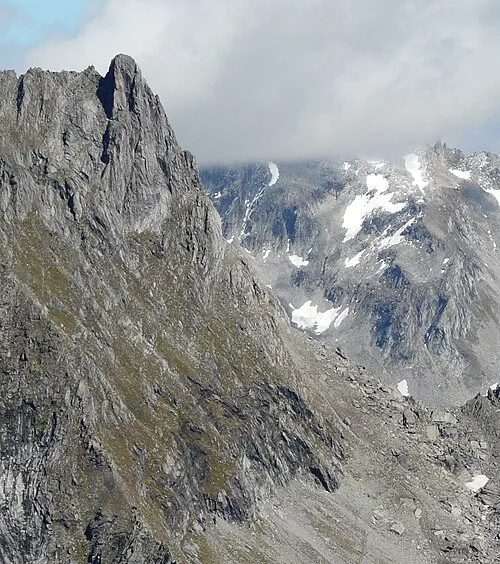 Gigalitzturm Mountain, Mayrhofen3.1 km S
-
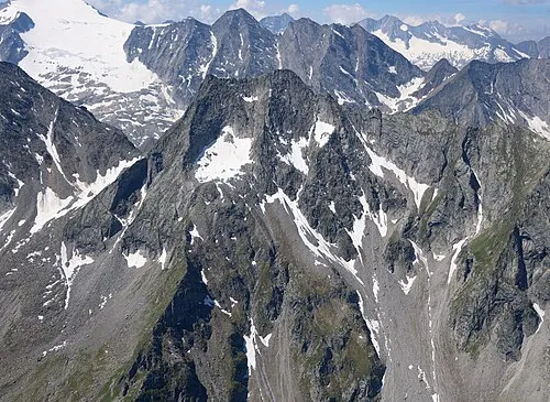 Gigalitz Spitze Mountain, Mayrhofen2.9 km S
-
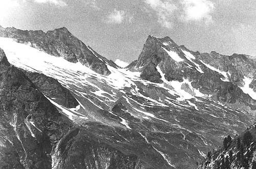 Lapen Spitze Mountain, Mayrhofen3.7 km S
More nature in Austria
-
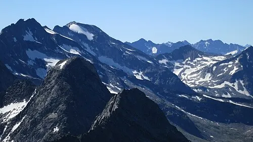 Roßwandspitze Mountain, Mayrhofen5.1 km E
-
Monte Lovello Mountain, Mayrhofen6.1 km SE
-
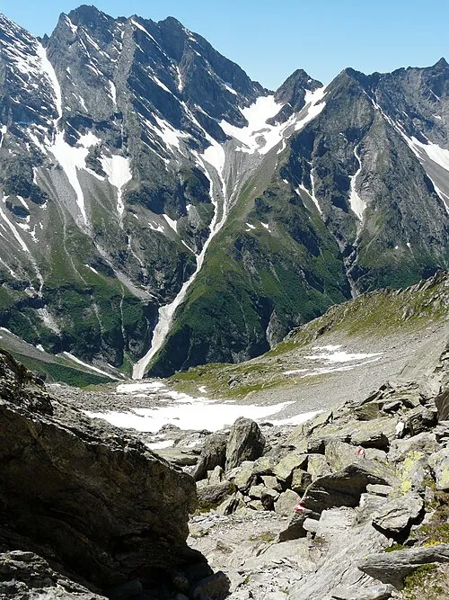 Mörchnerschartenkopf Mountain, Mayrhofen5.3 km SW
-
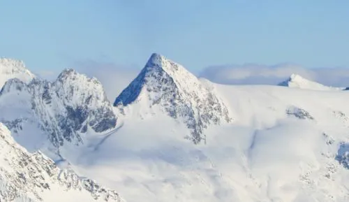 Mörchnerschneid Mountain, Mayrhofen5.6 km S
-
Rosskopf Mountain, Mayrhofen5.1 km SW
-
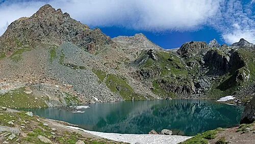 Rotkopf Mountain, Mayrhofen6.4 km SW
Sources & licences
Data last updated: