Ahrntal
Located in South Tyrol, Trentino-Alto Adige Coordinates: 46°59′46″ N 11°58′48″ E
- Population
- 6,022
- 6K
- Elevation
- 1,062 m
- above sea level
- Local time
- UTC+01:00
- Europe/Rome · UTC+01:00
- Places inside
- 98
- listed under Ahrntal
- Airports
- INN Innsbruck Airport56 km
- BZO Bolzano Airport78 km
About Ahrntal
Ahrntal is a municipality. Location: South Tyrol, Trentino-Alto Adige. Population: 6,022. Elevation: 1,062 m. The best months to visit are June–September. The nearest airport is Innsbruck Airport (56 km). Nearby sights include Ahrntal and Punta di Conio.
Photos of Ahrntal
-
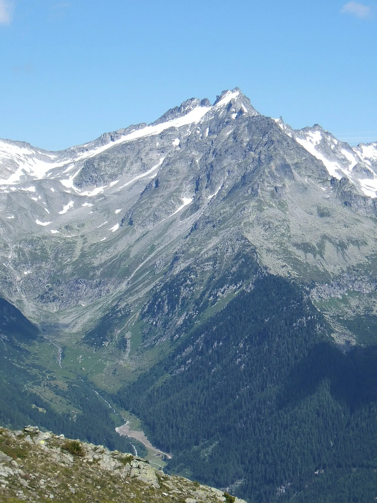
Punta di Conio Cactus26 · CC BY-SA 3.0 -
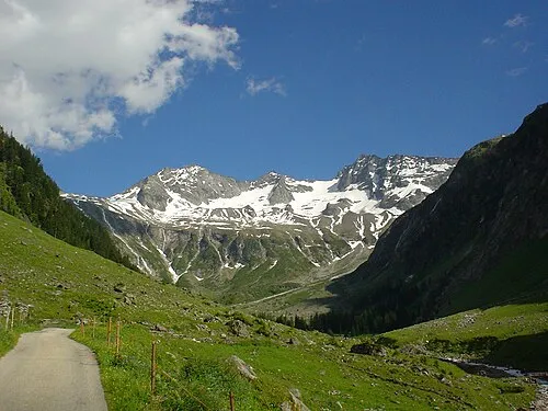
Croda Verde DIRA at German Wikipedia · CC BY-SA 3.0 -
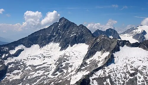
Monte Lovello Carsten Steger · CC BY-SA 4.0 -
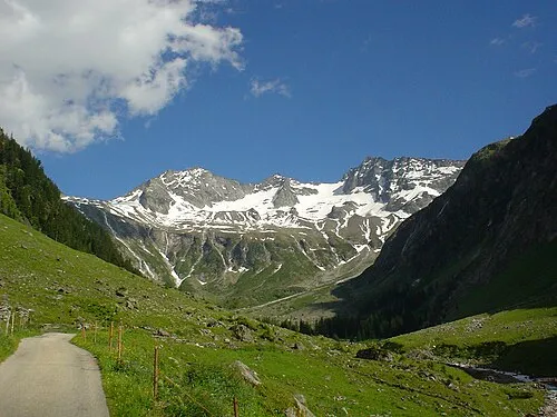
Grüne Wand Spitze DIRA at German Wikipedia · CC BY-SA 3.0 -
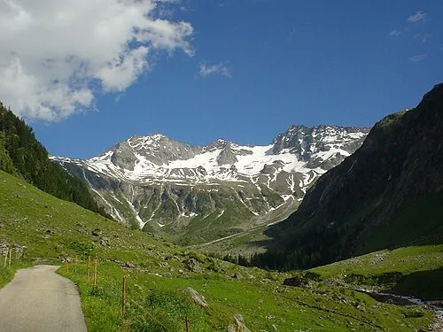
Kasselerspitze DIRA at German Wikipedia · CC BY-SA 3.0


Climate of Ahrntal
Best months for sightseeingBest months for sightseeing: June–September.
This month · November
A cold month
Day 7° · Night 0° · Rain 77 mm
- Hottest month
- July (day 21°)
- Coldest month
- January (night -4°)
- Wettest month
- July (143 mm)
- Driest month
- January (47 mm)
Bars: average monthly low and high temperature. Below: precipitation. Monthly averages for 1970–2000 at about 18 km resolution, adjusted for elevation. Highlighted months are mild and relatively dry. Source: WorldClim 2.1 (CC BY 4.0).
Show values as a table
| Month | Jan | Feb | Mar | Apr | May | Jun | Jul | Aug | Sep | Oct | Nov | Dec |
|---|---|---|---|---|---|---|---|---|---|---|---|---|
| Average high (°C) | 3° | 4° | 7° | 10° | 15° | 19° | 21° | 21° | 18° | 13° | 7° | 4° |
| Average low (°C) | -4° | -3° | -1° | 2° | 7° | 10° | 12° | 12° | 9° | 5° | 0° | -3° |
| Precipitation (mm) | 47 | 47 | 62 | 73 | 100 | 130 | 143 | 131 | 95 | 80 | 77 | 54 |
Other places to visit in this season: June July August September
How to get to Ahrntal
The nearest airport is Innsbruck Airport (INN), 56 km to the northwest as the crow flies. The nearest large city is Innsbruck, 53 km to the northwest.
Airports
- Innsbruck Airport (INN) Innsbruck 56 kmnorthwest
- Bolzano Airport (BZO) Bolzano (BZ) 78 kmsouthwest
- Salzburg Airport (SZG) Salzburg 118 kmnortheast
Nearby large cities
- Innsbruck Population: 132.5K 53 kmnorthwest
- Salzburg Population: 157.2K 120 kmnortheast
- Munich Population: 1.5M 130 kmnorth
- Augsburg Population: 301.1K 173 kmnorthwest
- Klagenfurt Population: 100.3K 182 kmeast
Straight-line distances; road distances are longer. Airport data: OurAirports.
Day trips from Ahrntal
Within 100 km: 155 historic and cultural sites, 4,358 natural sites, 841 lakes, rivers and coasts.
0–25 km511 places
- Unterer Gerlossee Lake 22 kmNE
- Oberseitsee Lake 23 kmE
- Bödensee Lake 23 kmE
- Obersee Lake 21 kmSE
25–60 km1,487 places
- Sille River 42 kmSE
- Piz Gralba Mountain 55 kmS
- Piz Miara Mountain 54 kmS
- Fürlegsee Lake 51 kmE
60–100 km3,356 places
- Bayerisches Oberland Mountain 87 kmNW
- Croda Nera Mountain 64 kmS
- Vorderer Langtalsee Lake 61 kmE
- Wildsee Lake 70 kmNW
Straight-line distances.
Places in Ahrntal
98 placesValle Aurina - Ahrntal
Population: 5.5K

Lutago
Population: 822

San Giovanni
Population: 759

Cadipietra
Population: 465
Am Wollbach-Quadra
Population: 419
Riobianco
Population: 346
- 7 Marche 251
- 8 Costa Molini 230
- 9 San Giacomo 229
- 10 Gisse 200
- 11 Ai Cavoni 81
- 12 San Martino 78
- 13 Im Stoana 72
- 14 Innertal 63
- 15 Steger Aue 59
- 16 Riotorbo 47
- 17 Am Griesbach 46
- 18 Brunnberg 39
- 19 San Pietro 39
- 20 Reicheggen 28
- 21 Masserie 25
Bar: population relative to the most populous place in this list.
Mountains & nature39
- Am Hohen · Mountain
- Ausserbrunner · Mountain
- Äusserer Grüne Platte · Mountain
- Äusserer Sattelnock · Mountain
- Äusserer Speikkofel · Mountain
- Beim Mannl · Mountain
- Beralspitze · Mountain
- Blauspitze · Mountain
- Breiter Kopf · Mountain
- Campalto · Mountain
- Cima dei Covoni · Mountain
- Faden · Mountain
- Fadenkopf · Mountain
- Fadner · Mountain
- Gamslahnernock · Mountain
- Gelenknock · Mountain
- Gfallenspitze · Mountain
- Goleitkopf · Mountain
- Grossfadnler · Mountain
- Hantigenklammspitz · Mountain
- Hochfeld · Mountain
- Hohe Wand · Mountain
- Hollenzkofel · Mountain
- Hollenzkopf · Mountain
- I. Hornspitze · Mountain
- II. Hornspitze · Mountain
- Innerer Sattelnock · Mountain
- Innerer Speikkofel · Mountain
- Katzenkofel · Mountain
- Keilbachspitze · Mountain
- Kellerkopf · Mountain
- Klausnock · Mountain
- Kleiner Golter · Mountain
- Kleinfadnler · Mountain
- Knospe · Mountain
- Kopfkraxe · Mountain
- Krannerschneid · Mountain
- Kreuzkofel · Mountain
- Kreuzkofel · Mountain
Nearby attractions & nature
Everything nearby-
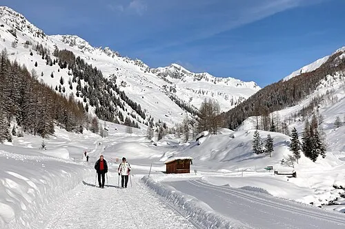 Ahrntal Natural site, South Tyrol5.8 km NE
-
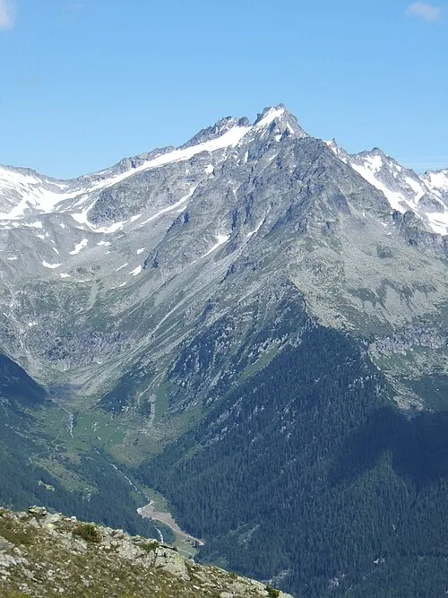 Punta di Conio Mountain, Austria4.8 km NW
-
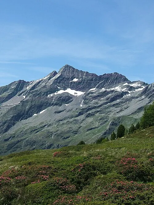 Durreck Mountain, Campo Tures/Sand in Taufers5.5 km SE
-
Rauch Kofel Mountain, Campo Tures/Sand in Taufers4.4 km S
-
Kasselerspitze Mountain, Tyrol5.2 km NW
-
Grüne Wand Spitze Mountain, Tyrol5.5 km N
-
Croda Verde Mountain, Austria5 km N
-
Monte Lovello Mountain, Mayrhofen6.4 km NW
Sources & licences
Data last updated: