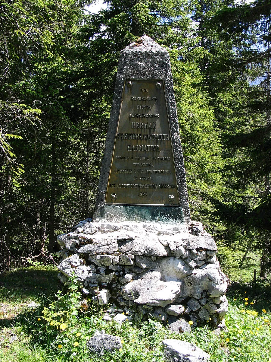
Hermann von Barth Denkmal
Located in Vomp, Politischer Bezirk Schwaz Coordinates: 47°25′00″ N 11°28′00″ E
- Local time
- UTC+01:00
- Europe/Vienna · UTC+01:00
- Elevation
- 1,410 m
- above sea level
- Airports
- INN Innsbruck Airport20 km
- MUC Munich Airport107 km
About Hermann von Barth Denkmal
Hermann von Barth Denkmal is a landmark. Location: Vomp, Politischer Bezirk Schwaz. The nearest airport is Innsbruck Airport (20 km). Nearby sights include Karwendel Mountains and Birkkarspitze.
Photos of Hermann von Barth Denkmal
-
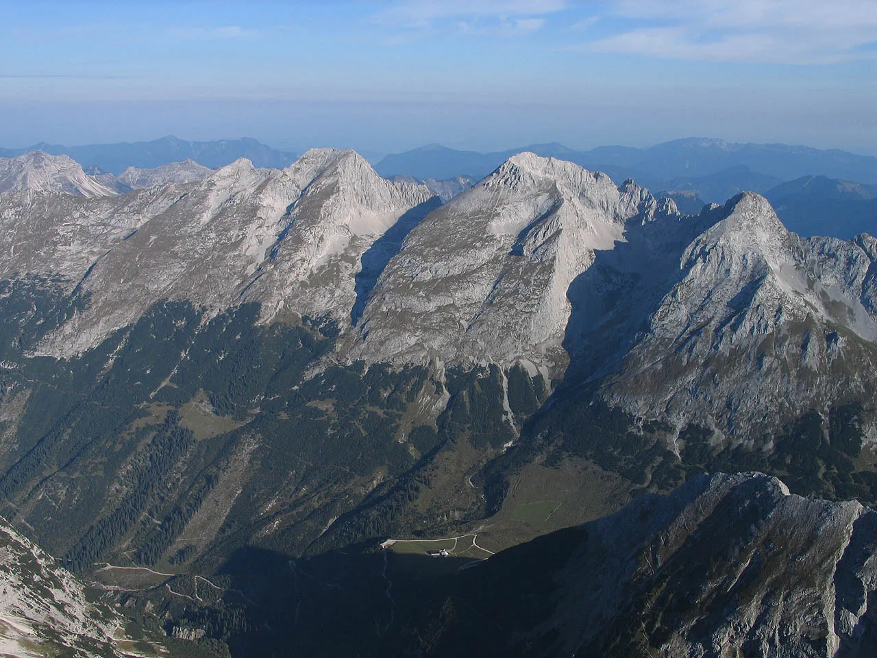
Vogelkarspitze Luidger · CC BY-SA 3.0 -
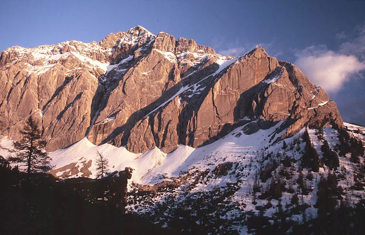
Speckkar Spitze Wikimedia Commons · CC BY-SA 3.0 -
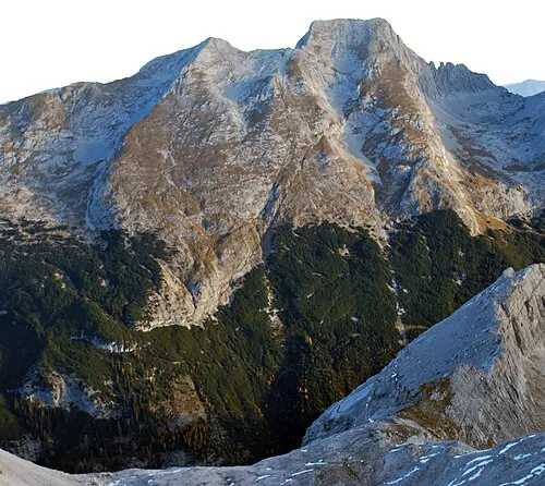
Schlichtspitze Svíčková · CC BY 3.0 -
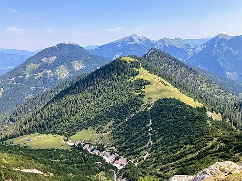
Ronberg Wasquewhat · CC BY-SA 4.0 -
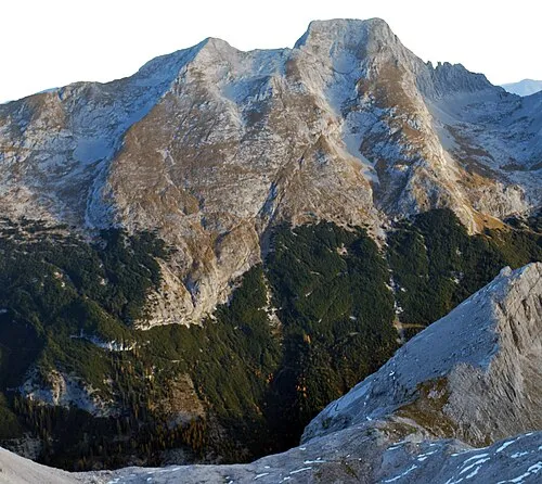
Hintere Schlicht Spitze Svíčková · CC BY 3.0


Climate of Hermann von Barth Denkmal
This month · November
A cold month
Day 4° · Night -1° · Rain 95 mm
- Hottest month
- July (day 18°)
- Coldest month
- January (night -5°)
- Wettest month
- July (169 mm)
- Driest month
- February (66 mm)
Bars: average monthly low and high temperature. Below: precipitation. Monthly averages for 1970–2000 at about 18 km resolution, adjusted for elevation. Highlighted months are mild and relatively dry. Source: WorldClim 2.1 (CC BY 4.0).
Show values as a table
| Month | Jan | Feb | Mar | Apr | May | Jun | Jul | Aug | Sep | Oct | Nov | Dec |
|---|---|---|---|---|---|---|---|---|---|---|---|---|
| Average high (°C) | 1° | 1° | 4° | 7° | 12° | 15° | 18° | 18° | 14° | 10° | 4° | 2° |
| Average low (°C) | -5° | -5° | -3° | 0° | 4° | 7° | 9° | 10° | 7° | 3° | -1° | -4° |
| Precipitation (mm) | 70 | 66 | 88 | 101 | 123 | 162 | 169 | 153 | 108 | 87 | 95 | 83 |
How to get to Hermann von Barth Denkmal
The nearest airport is Innsbruck Airport (INN), 20 km to the southwest as the crow flies. The nearest large city is Innsbruck, 18 km to the south.
Airports
- Innsbruck Airport (INN) Innsbruck 20 kmsouthwest
- Munich Airport (MUC) Munich 107 kmnorth
- Bolzano Airport (BZO) Bolzano (BZ) 107 kmsouth
Nearby large cities
- Innsbruck Population: 132.5K 18 kmsouth
- Munich Population: 1.5M 81 kmnorth
- Augsburg Population: 301.1K 114 kmnorth
- Salzburg Population: 157.2K 126 kmeast
- Ingolstadt Population: 120.7K 150 kmnorth
Straight-line distances; road distances are longer. Airport data: OurAirports.
Day trips from Hermann von Barth Denkmal
Within 100 km: 360 historic and cultural sites, 4,477 natural sites, 1,183 lakes, rivers and coasts.
0–25 km464 places
- Wildsee Lake 24 kmSW
- Achen Lake Lake 19 kmE
- Delpsee Lake 10 kmN
- Vorderskopf Mountain 9 kmN
25–60 km2,044 places
- Bayerisches Oberland Mountain 27 kmN
- Schloss Hirschberg am Haarsee Historic site 48 kmNW
- Zireiner See Lake 27 kmE
- Wild See Lake 48 kmS
60–100 km3,512 places
- Frauenchiemsee Island 88 kmNE
- Herreninsel Island 86 kmNE
- elf-pavlik's tent Historic site 86 kmN
- Kapfkopf Mountain 89 kmSW
Straight-line distances.
Nearby attractions & nature
Everything nearby-
Karwendel Mountains Mountain, Tyrol<0.1 km N
-
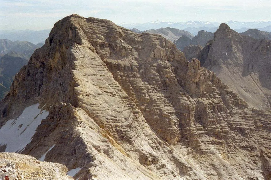 Birkkarspitze Mountain, Scharnitz2.3 km W
-
Kuhkopf Mountain, Vomp2.3 km N
-
Kaltwasserkarspitze Mountain, Scharnitz2 km SW
-
Lackenkarkopf Mountain, Vomp2.9 km NW
-
Mahnkopf Mountain, Vomp3.1 km E
-
Steinfalk Mountain, Vomp3.6 km E
-
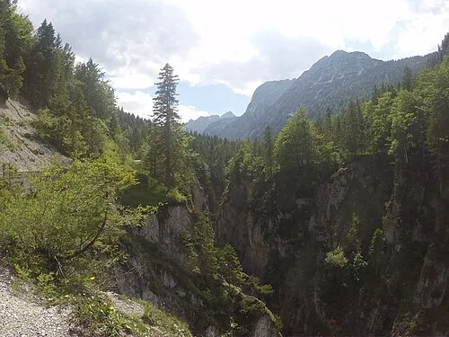 Johannestal Natural site, Tyrol3.9 km N
Nearest towns and villages
-
Hinterriß Village, Vomp6.2 km N
-
Eng Village, Vomp7.2 km E
-
Thaur Municipality, Politischer Bezirk Innsbruck Land12 km S
-
Eben am Achensee Municipality, Politischer Bezirk Schwaz13 km NE
Sources & licences
Data last updated: · 2 independent sources