Sankt Oswald bei Freistadt
Located in Freistadt District, Upper Austria Coordinates: 48°30′02″ N 14°35′04″ E
- Population
- 2,882
- 2.9K
- Elevation
- 614 m
- above sea level
- Local time
- UTC+01:00
- Europe/Vienna · UTC+01:00
- Places inside
- 15
- listed under Sankt Oswald bei Freistadt
About Sankt Oswald bei Freistadt
Sankt Oswald bei Freistadt is a municipality. Location: Freistadt District, Upper Austria. Population: 2,882. Elevation: 614 m.
In comparison
- No. 9 of 27 places in Freistadt District by population
- Nearest larger town: Freistadt, 6 km W
- 9 sights and natural places within 10 km Breitenstein, Sattler Berg
- Listed here: Village: 14, Mountain: 1
Places in Sankt Oswald bei Freistadt
15 places-
Sankt Oswald bei Freistadt Village1.5K
-
Wippl Village164
-
Neudorf Village130
-
Amesreith Village122
-
Stiftungsberg Village96
-
Untermarreith Village80
-
Obermarreith Village67
-
Florenthein Village65
-
Fünfling Village63
-
March Village35
-
Rosenau Village22
-
Stampfendorf Village7
-
Breitenstein Mountain
-
Pieberschlag Village
-
Weinviertl Village
Nearby attractions & nature
Everything nearby-
Sattler Berg Mountain, Lasberg3.9 km S
-
Buchberg Mountain, Lasberg4 km S
-
Viehberg Mountain, Sandl6 km NE
-
Schwarzberg [Weitersfelden] Mountain, Weitersfelden7.1 km E
-
Viehberg (Freiwald) [Sandl] Mountain, Sandl7.2 km NE
-
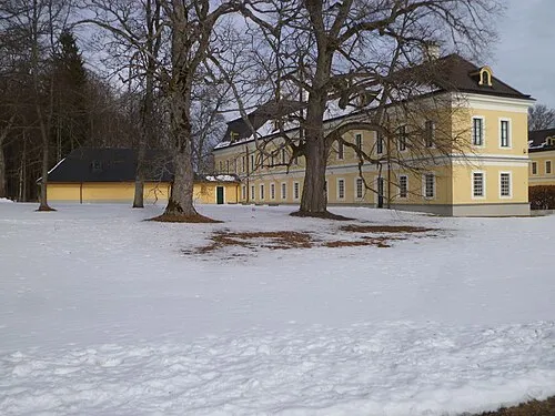 Schloss Rosenhof Historic site, Sandl10 km NE
-
Hammerschmiedberg Mountain, Weitersfelden7.6 km E
-
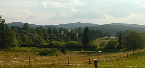 Kamenec Mountain, Pohorská Ves11 km NE
Sources & licences
Data last updated: