Windhaag bei Freistadt
Located in Freistadt District, Upper Austria Coordinates: 48°35′15″ N 14°33′43″ E
- Population
- 1,590
- 1.6K
- Elevation
- 714 m
- above sea level
- Local time
- UTC+01:00
- Europe/Vienna · UTC+01:00
- Places inside
- 14
- listed under Windhaag bei Freistadt
About Windhaag bei Freistadt
Windhaag bei Freistadt is a municipality. Location: Freistadt District, Upper Austria. Population: 1,590. Elevation: 714 m.
In comparison
- No. 19 of 27 places in Freistadt District by population
- Nearest larger town: Grünbach, 6 km S
- 9 sights and natural places within 10 km Steinbühel [Windhaag bei Freistadt], Waschenberg [Windhaag bei Freistadt]
- Listed here: Village: 13, Mountain: 1
Places in Windhaag bei Freistadt
14 places-
Windhaag bei Freistadt Village477
-
Prendt Village125
-
Mairspindt Village122
-
Riemetschlag Village119
-
Pieberschlag Village116
-
Spörbichl Village112
-
Oberwindhaag Village102
-
Unterwald Village84
-
Obernschlag Village71
-
Predetschlag Village62
-
Freiwalddorf Village50
-
Elmberg Village44
-
Oberpassberg Village
-
Waschenberg [Windhaag bei Freistadt] Mountain
Nearby attractions & nature
Everything nearby-
Steinbühel [Windhaag bei Freistadt] Mountain, Leopoldschlag1.3 km NW
-
Viehberg (Freiwald) [Sandl] Mountain, Sandl5.4 km SE
-
Viehberg Mountain, Sandl5.8 km SE
-
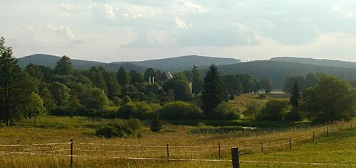 Kamenec Mountain, Pohorská Ves7.9 km E
-
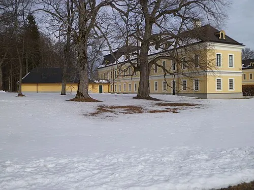 Schloss Rosenhof Historic site, Sandl9.2 km E
-
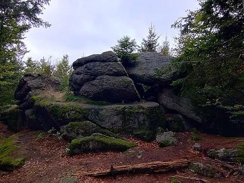 Myslivna Mountain, Pohorská Ves10 km NE
-
Dorfberg Mountain, Rainbach im Mühlkreis8.3 km W
-
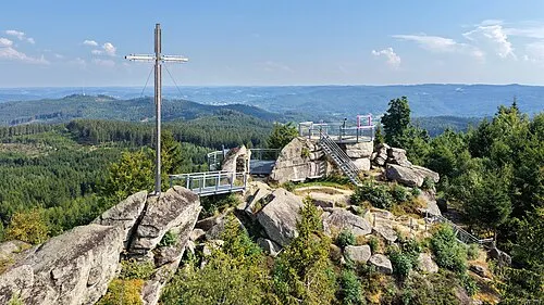 Nebelstein Mountain, Moorbad Harbach17 km NE
Sources & licences
Data last updated: