Naarn im Machlande
Located in Perg District, Upper Austria Coordinates: 48°13′33″ N 14°36′32″ E
- Population
- 3,674
- 3.7K
- Elevation
- 244 m
- above sea level
- Local time
- UTC+01:00
- Europe/Vienna · UTC+01:00
- Places inside
- 20
- listed under Naarn im Machlande
About Naarn im Machlande
Naarn im Machlande is a municipality. Location: Perg District, Upper Austria. Population: 3,674. Elevation: 244 m.
In comparison
- No. 7 of 26 places in Perg District by population
- Nearest larger town: Perg, 3 km NE
- 8 sights and natural places within 10 km Erlabach, Der Kirchhof zu Mauthausen.
- Listed here: Village: 20
Places in Naarn im Machlande
20 places-
Naarn im Machlande Village1.6K
-
Au an der Donau Village900
-
Laab Village132
-
Baumgarten Village122
-
Oberwagram Village115
-
Ruprechtshofen Village108
-
Staffling Village97
-
Neuhof Village81
-
Wimm Village78
-
Aist Village74
-
Schönau Village63
-
Pratztrum Village50
-
Starzing Village41
-
Dürnwagram Village
-
Hainbuchen Village
-
Holzleithen Village
-
Niedersebern Village
-
Obersebern Village
-
Strass Village
-
Tabor Village
Nearby attractions & nature
Everything nearby-
Erlabach River, Lower Austria2.9 km S
-
Der Kirchhof zu Mauthausen. Historic site, Mauthausen7 km W
-
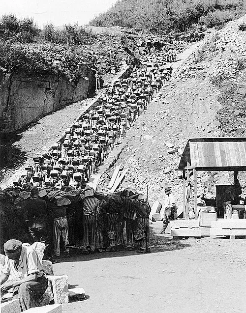 Mauthausen Concentration Camp Historic site, Mauthausen8.7 km NW
-
St. Valentin Concentration Camp Historic site, St. Valentin8.4 km SW
-
Mauthausen concentration camp Historic site, Mauthausen8.8 km NW
-
Enns River, Austria8.1 km W
-
Hochgatterer Mountain, Arbing8.5 km E
-
Gusen River, Upper Austria8.5 km W
Sources & licences
Data last updated: