Ried in der Riedmark
Located in Perg District, Upper Austria Coordinates: 48°16′20″ N 14°31′39″ E
- Population
- 4,182
- 4.2K
- Elevation
- 312 m
- above sea level
- Local time
- UTC+01:00
- Europe/Vienna · UTC+01:00
- Places inside
- 29
- listed under Ried in der Riedmark
About Ried in der Riedmark
Ried in der Riedmark is a municipality. Location: Perg District, Upper Austria. Population: 4,182. Elevation: 312 m.
In comparison
- No. 4 of 26 places in Perg District by population
- Nearest larger town: Mauthausen, 4 km S
- 15 sights and natural places within 10 km Mauthausen concentration camp, Mauthausen Concentration Camp
- Listed here: Village: 29
Places in Ried in der Riedmark
29 places-
Ried in der Riedmark Village1.3K
-
Blindendorf Village544
-
Niederzirking Village281
-
Oberzirking Village215
-
Hochstraß Village177
-
Holzgasse Village165
-
Marwach Village136
-
Obenberg Village135
-
Zeinersdorf Village134
-
Hartl Village121
-
Grünau Village106
-
Danndorf Village101
-
Marbach Village97
-
Gerersdorf Village81
-
Wachsreith Village69
-
Aistbergthal Village62
-
Altaist Village58
-
Burgholz Village51
-
Anzendorf Village48
-
Thal Village40
-
Reidl Village39
-
Wildberg Village31
-
Waging Village30
-
Rieddorf Village18
-
Schnellendorf Village17
-
Kollnerberg Village13
-
Poneggen Village2
-
Hohensteg Village
-
Kruckenberg Village
Nearby attractions & nature
Everything nearby-
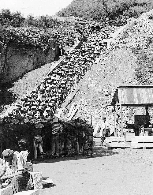 Mauthausen Concentration Camp Historic site, Mauthausen2.6 km SW
-
Mauthausen concentration camp Historic site, Mauthausen2.6 km SW
-
Der Kirchhof zu Mauthausen. Historic site, Mauthausen3.5 km S
-
Gusen River, Upper Austria3.2 km SW
-
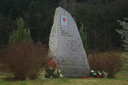 Gusen I Concentration Camp Historic site, Langenstein5 km W
-
Ruine Spielberg Historic site, Langenstein5.2 km SW
-
Enns River, Austria4.8 km SW
-
Waldaist River, Upper Austria5.7 km NE
Sources & licences
Data last updated: