Hochfohra
Located in Hinterstoder, Politischer Bezirk Kirchdorf an der Krems Coordinates: 47°40′36″ N 14°05′30″ E
- Elevation
- 1,507 m
- above sea level
- Local time
- UTC+01:00
- Europe/Vienna · UTC+01:00
About Hochfohra
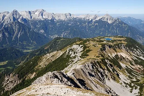
Hochfohra is a mountain. Location: Hinterstoder, Politischer Bezirk Kirchdorf an der Krems. Elevation: 1,507 m.
In comparison
- No. 4539 of 7537 mountains in Austria by elevation
- 101 sights and natural places within 10 km Ostrawitz, Ostrawitzbach
Climate of Hochfohra
| Month | Jan | Feb | Mar | Apr | May | Jun | Jul | Aug | Sep | Oct | Nov | Dec |
|---|---|---|---|---|---|---|---|---|---|---|---|---|
| Average high (°C) | -3° | -2° | 2° | 5° | 11° | 14° | 16° | 16° | 12° | 8° | 1° | -2° |
| Average low (°C) | -9° | -9° | -6° | -3° | 2° | 5° | 7° | 7° | 3° | -1° | -5° | -8° |
| Precipitation (mm) | 77 | 71 | 101 | 95 | 113 | 155 | 173 | 143 | 115 | 86 | 92 | 97 |
Monthly averages for 1970–2000 at about 18 km resolution, adjusted for elevation. Highlighted months are mild and relatively dry. Source: WorldClim 2.1 (CC BY 4.0).
Airports nearest to Hochfohra
- Linz-Hörsching Airport (LNZ) Linz 63 km
- Salzburg Airport (SZG) Salzburg 83 km
- Klagenfurt Airport (KLU) Klagenfurt am Wörthersee 116 km
Straight-line distance; airports with scheduled flights only. Source: OurAirports (public domain).
Nearest towns and villages
-
Hinterberg Village, Hinterstoder2.3 km E
-
Weißenbach Village, Hinterstoder2.3 km E
-
Hinterstoder Village, Hinterstoder5.4 km NE
-
Polsterlucke Village, Hinterstoder3.5 km NE
-
Tambergau Village, Hinterstoder6.4 km NE
-
Mitterstoder Village, Hinterstoder6.6 km NE
Nearby attractions & nature
Everything nearby-
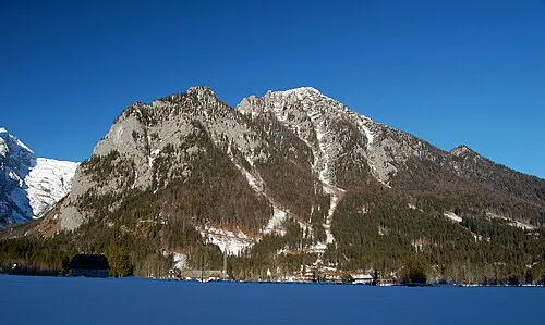 Ostrawitz Mountain, Hinterstoder0.9 km N
-
Löckenkogel Mountain, Hinterstoder1.2 km N
-
Zillkogel Mountain, Hinterstoder1.3 km SE
-
Ostrawitzbach River, Upper Austria1.1 km SE
-
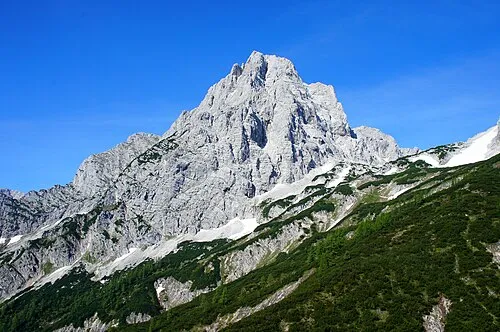 Spitzmauer Mountain, Hinterstoder3.1 km NW
-
Zamseggerkogel Mountain, Hinterstoder2.7 km E
-
Scheiblingstein Mountain, Styria2.5 km S
-
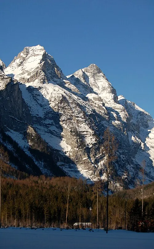 Kleiner Hochkasten Mountain, Grundlsee3.6 km W
More nature in Austria
-
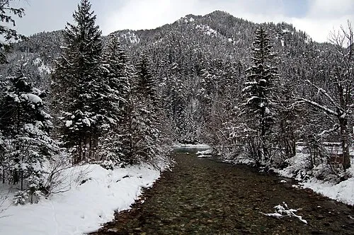 Öttlberg Mountain, Hinterstoder3.7 km NE
-
Ameiskogel Mountain, Hinterstoder3.9 km N
-
 Huttererhöß Mountain, Hinterstoder6.3 km E
-
Klinserkogel Mountain, Hinterstoder3 km NE
-
Schnablwipfel Mountain, Hinterstoder5.8 km NE
-
Geißlitzkogel Mountain, Hinterstoder3.6 km E
Sources & licences
Data last updated: