Spitzmauer
Located in Hinterstoder, Politischer Bezirk Kirchdorf an der Krems Coordinates: 47°41′46″ N 14°03′42″ E
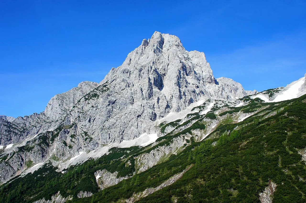
- Elevation
- 2,446 m
- above sea level
- Local time
- UTC+01:00
- Europe/Vienna · UTC+01:00
About Spitzmauer
Spitzmauer is a mountain. Location: Hinterstoder, Politischer Bezirk Kirchdorf an der Krems. Elevation: 2,446 m.
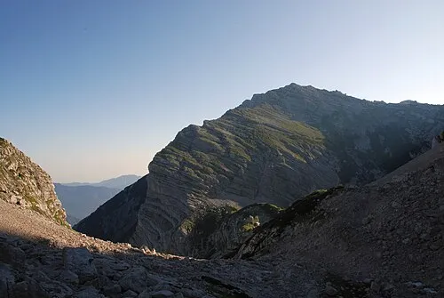
With its summit at 2,446 metres (8,025 ft) above sea level, the Spitzmauer (lit. translatable as "sharp/steep wall") is the second highest mountain of the Totes Gebirge mountain range in the south of Upper Austria. A Dachstein Formation, the mountain was first touristically climbed by Vienna botanist Karl Stoitzner, school teacher H. Langeder, and mountain guide Matthias "Haarschlager" Hotz on 23 July 1858.
Read more on Wikipedia Text: Wikipedia contributors · CC BY-SA 4.0 · shortened
In comparison
- No. 1515 of 7537 mountains in Austria by elevation
- 89 sights and natural places within 10 km Schermberg, Grosser Priel
Nearest towns and villages
-
Hinterberg Village, Hinterstoder5.2 km SE
-
Hinterstoder Village, Hinterstoder7 km E
-
Weißenbach Village, Hinterstoder5 km SE
-
Tambergau Village, Hinterstoder7.8 km E
-
Mitterstoder Village, Hinterstoder8.1 km E
-
Polsterlucke Village, Hinterstoder5.5 km E
Nearby attractions & nature
Everything nearby-
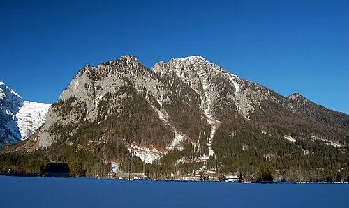 Ostrawitz Mountain, Hinterstoder2.5 km SE
-
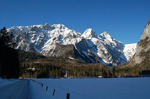 Grosser Hochkasten Mountain, Grundlsee2.8 km SW
-
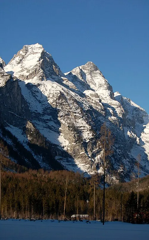 Kleiner Hochkasten Mountain, Grundlsee2.6 km SW
-
Schermberg Mountain, Grünau im Almtal2.2 km N
-
Grosser Priel Mountain, Hinterstoder2.3 km N
-
Löckenkogel Mountain, Hinterstoder2.6 km E
-
Temlberg Mountain, Hinterstoder2.7 km NW
-
 Kreuz Mountain, Klaus an der Pyhrnbahn4.2 km N
More nature in Austria
-
 Öttlberg Mountain, Hinterstoder4.6 km E
-
Ameiskogel Mountain, Hinterstoder3.7 km NE
-
Zamseggerkogel Mountain, Hinterstoder5.7 km SE
-
Hochfohra Mountain, Hinterstoder3.1 km SE
-
Schnablwipfel Mountain, Hinterstoder5.8 km NE
-
Almkogel Mountain, Hinterstoder4.1 km NE
Sources & licences
Data last updated: · 2 independent sources