Allhaming
Located in Politischer Bezirk Linz-Land, Upper Austria Coordinates: 48°09′10″ N 14°10′18″ E
- Population
- 1,146
- 1.1K
- Elevation
- 342 m
- above sea level
- Local time
- UTC+01:00
- Europe/Vienna · UTC+01:00
- Places inside
- 4
- listed under Allhaming
About Allhaming
Allhaming is a municipality. Location: Politischer Bezirk Linz-Land, Upper Austria. Population: 1,146. Elevation: 342 m.
In comparison
- No. 21 of 22 places in Politischer Bezirk Linz-Land by population
- Nearest larger town: Weißkirchen an der Traun, 3 km W
- 4 sights and natural places within 10 km Mühlbach, Schloss Dietach
- Listed here: Village: 4
Airports nearest to Allhaming
- Linz-Hörsching Airport (LNZ) Linz 9 km
- České Budějovice South Bohemian Airport (JCL) České Budějovice 90 km
- Salzburg Airport (SZG) Salzburg 96 km
Straight-line distance; airports with scheduled flights only. Source: OurAirports (public domain).
Places in Allhaming
4 places-
Allhaming Village710
-
Laimgräben Village232
-
Lindach Village122
-
Zeitlham Village
Nearby attractions & nature
Everything nearby-
Schloss Dietach Historic site, Weißkirchen an der Traun5.6 km W
-
Mühlbach River, Upper Austria5.3 km N
-
Schachen Wald Natural site, Upper Austria6.1 km S
-
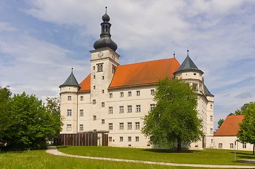 Hartheim Euthanasia Centre Historic site, Alkoven15 km N
-
Sipbach River, Upper Austria9.2 km NE
-
Richtfunkturm Ansfelden Landmark, Ansfelden11 km NE
-
Sendeturm Fleckendorf Landmark, Ansfelden11 km NE
-
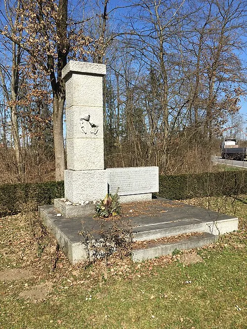 Gunskirchen Concentration Camp (Wels I) Historic site, Gunskirchen16 km W
Sources & licences
Data last updated: