Geiersberg
Located in Ried im Innkreis District, Upper Austria Coordinates: 48°12′02″ N 13°34′50″ E
- Population
- 529
- 529
- Elevation
- 557 m
- above sea level
- Local time
- UTC+01:00
- Europe/Vienna · UTC+01:00
- Places inside
- 11
- listed under Geiersberg
About Geiersberg
Geiersberg is a municipality. Location: Ried im Innkreis District, Upper Austria. Population: 529. Elevation: 557 m.
In comparison
- No. 35 of 36 places in Ried im Innkreis District by population
- Nearest larger town: Sankt Marienkirchen am Hausruck, 2 km S
- 6 sights and natural places within 10 km Reschfeld, Turmberg
- Listed here: Village: 11
Places in Geiersberg
11 places-
Geiersberg Village174
-
Pramerdorf Village67
-
Rödham Village63
-
Oberleiten Village43
-
Schernham Village43
-
Hinteregg Village33
-
Leiten Village31
-
Kruglug Village28
-
Rödt Village18
-
Oberrühring Village16
-
Gstöcket Village3
Nearby attractions & nature
Everything nearby-
Turmberg Mountain, Haag am Hausruck6.2 km SE
-
Reschfeld Mountain, Taiskirchen im Innkreis5.6 km N
-
Stelzer Berg Mountain, Andrichsfurt8.8 km NW
-
Alt Bach River, Upper Austria8.1 km NW
-
Urhammer Berg Mountain, Ottnang am Hausruck9.3 km S
-
Hausruck Mountain, Upper Austria9.3 km S
-
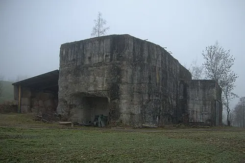 Redl Zipf Concentration Camp (Schlier) Historic site, Neukirchen an der Vöckla20 km S
-
Göblberg Mountain, Ampflwang im Hausruckwald12 km S
Sources & licences
Data last updated: