Klaffer am Hochficht
Located in Rohrbach district, Upper Austria Coordinates: 48°41′42″ N 13°52′50″ E
- Population
- 1,338
- 1.3K
- Elevation
- 630 m
- above sea level
- Local time
- UTC+01:00
- Europe/Vienna · UTC+01:00
- Places inside
- 9
- listed under Klaffer am Hochficht
About Klaffer am Hochficht
Klaffer am Hochficht is a municipality. Location: Rohrbach district, Upper Austria. Population: 1,338. Elevation: 630 m.
In comparison
- No. 20 of 39 places in Rohrbach district by population
- Nearest larger town: Ulrichsberg, 3 km SE
- 28 sights and natural places within 10 km Finsterbach, Frauenholz
- Listed here: Village: 7, Mountain: 2
Places in Klaffer am Hochficht
9 places-
Klaffer am Hochficht Village408
-
Freundorf Village310
-
Pfaffetschlag Village192
-
Panidorf Village158
-
Schönberg Village126
-
Vorderanger Village117
-
Hochficht Mountain
-
Holzschlag Village
-
Smrčina [Horní Planá] Mountain
Nearby attractions & nature
Everything nearby-
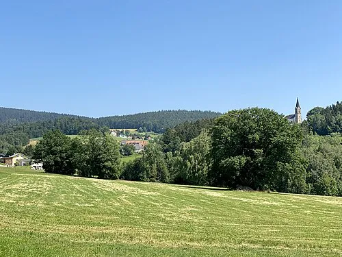 Dachsberg Mountain, Schwarzenberg am Böhmerwald4.8 km NW
-
Finsterbach River, Austria3.5 km W
-
Frauenholz Natural site, Upper Austria4 km W
-
Zwiesel Berg Mountain, Schwarzenberg am Böhmerwald4.4 km N
-
Frauenbach River, Upper Austria4 km W
-
Hraničník [Nová Pec] Mountain, Rohrbach district6.3 km N
-
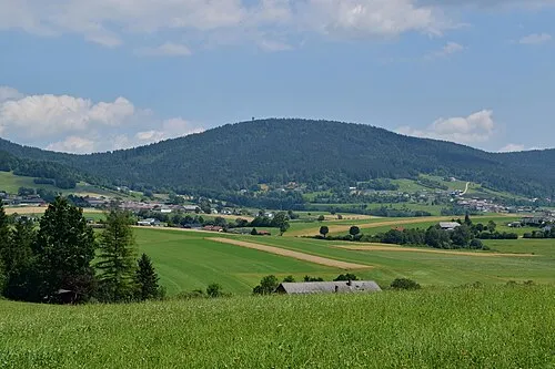 Sulzberg Mountain, Ulrichsberg6.5 km E
-
Schrammkapelle Attraction, Julbach5 km W
Sources & licences
Data last updated: