Großraming
Located in Steyr-Land District, Upper Austria Coordinates: 47°51′36″ N 14°32′36″ E
- Population
- 2,694
- 2.7K
- Elevation
- 535 m
- above sea level
- Local time
- UTC+01:00
- Europe/Vienna · UTC+01:00
- Places inside
- 26
- listed under Großraming
About Großraming
Großraming is a municipality. Location: Steyr-Land District, Upper Austria. Population: 2,694. Elevation: 535 m.
In comparison
- No. 9 of 20 places in Steyr-Land District by population
- Nearest larger town: Weyer, 9 km E
- 29 sights and natural places within 10 km Hieselberg, Pech Graben
- Listed here: Village: 14, Mountain: 10, Historic site: 1, Landmark: 1
Places in Großraming
26 places-
Grossraming Village1.1K
-
Lumplgraben Village652
-
Neustiftgraben Village266
-
Pechgraben Village252
-
Hintstein Village219
-
Rodelsbach Village83
-
Brunnbach Village78
-
Ober Plaissa Village55
-
Andlersgraben Village
-
Aschausiedlung Village
-
Eibeck Mountain
-
Fahrenberg Mountain
-
Gamsstein Mountain
-
Grabner Village
-
Großraming Concentration Camp Historic site
-
Hehenberg Mountain
-
Hieselberg Mountain
-
Hochzöbl Mountain
-
Marbachler Village
-
Mittereckmauer Mountain
-
Pfarrhof Village
-
Reitkogel Mountain
-
Sender Lumplgraben Landmark
-
Sonnwendkogel Mountain
-
Stubau Mountain
-
Sulzbauer Village
Nearby attractions & nature
Everything nearby-
Pech Graben Natural site, Upper Austria2.7 km N
-
Neustifter Bach River, Upper Austria2.7 km N
-
Katzenhirn Mountain, Weyer3.2 km E
-
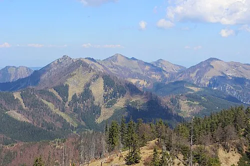 Grosser Alpkogel Mountain, Weyer5.1 km S
-
Kleiner Reithpfadkogel Mountain, Reichraming5.4 km SW
-
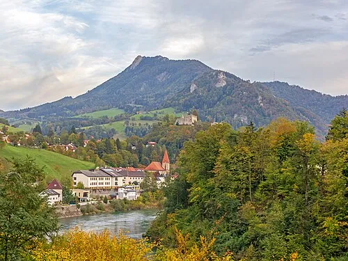 Schieferstein Mountain, Reichraming7.3 km NW
-
Dipoldsau Concentration Camp Historic site, Weyer5.1 km E
-
Langlocker Mauer Mountain, Weyer6.9 km S
Sources & licences
Data last updated: