Reichraming
Located in Steyr-Land District, Upper Austria Coordinates: 47°50′53″ N 14°27′23″ E
- Population
- 1,741
- 1.7K
- Elevation
- 468 m
- above sea level
- Local time
- UTC+01:00
- Europe/Vienna · UTC+01:00
- Places inside
- 19
- listed under Reichraming
About Reichraming
Reichraming is a municipality. Location: Steyr-Land District, Upper Austria. Population: 1,741. Elevation: 468 m.
In comparison
- No. 15 of 20 places in Steyr-Land District by population
- Nearest larger town: Großraming, 7 km E
- 43 sights and natural places within 10 km Plaissa Bach, Zöbelboden
- Listed here: Village: 10, Mountain: 8, Attraction: 1
Places in Reichraming
19 places-
Reichraming Village1.1K
-
Arzberg Village639
-
Anzenbach Village
-
Bauer im Reit Village
-
Dirnbach Village
-
Dukateneck Mountain
-
Grosser Reithpfadkogel Mountain
-
Kleiner Reithpfadkogel Mountain
-
Kreuzeck Mountain
-
Mieseck Mountain
-
Mosereck Mountain
-
Point Village
-
Schieferstein Mountain
-
Steinbachgraben Village
-
Sternwarte Hohe DIRN Attraction
-
Stiedelsbach Village
-
Sulzbach Village
-
Weissenbach Village
-
Zöbelboden Mountain
Nearby attractions & nature
Everything nearby-
Plaissa Bach River, Upper Austria1.8 km SE
-
Fahrenberg Mountain, Großraming2.9 km NE
-
Mittereckmauer Mountain, Großraming2.9 km NE
-
Sender Lumplgraben Landmark, Großraming3.4 km E
-
Schneeberg Mountain, Molln4.7 km NW
-
Reichramingbach River, Upper Austria3.9 km N
-
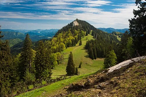 Alpstein Mountain, Rosenau am Hengstpass6.2 km S
-
Kalblsau Mountain, Lower Austria4.9 km NW
Sources & licences
Data last updated: