Attersee
Located in Vöcklabruck District, Upper Austria Coordinates: 47°54′28″ N 13°31′41″ E
- Population
- 1,599
- 1.6K
- Elevation
- 470 m
- above sea level
- Local time
- UTC+01:00
- Europe/Vienna · UTC+01:00
- Places inside
- 8
- listed under Attersee
About Attersee
Attersee is a municipality. Location: Vöcklabruck District, Upper Austria. Population: 1,599. Elevation: 470 m.
In comparison
- No. 27 of 52 places in Vöcklabruck District by population
- Nearest larger town: St Georgen im Attergau, 4 km NW
- 19 sights and natural places within 10 km Buchberg, Weyregger Bach
- Listed here: Village: 8
Places in Attersee
8 places-
Attersee Village401
-
Abtsdorf Village358
-
Palmsdorf Village251
-
Aufham Village100
-
Oberbach Village67
-
Breitenröth Village62
-
Erlath Village
-
Winterleithen Village
Nearby attractions & nature
Everything nearby-
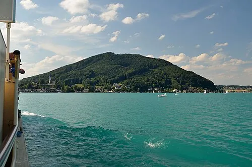 Buchberg Mountain, St Georgen im Attergau2.2 km N
-
Kronberg Mountain, Straß im Attergau3.3 km SW
-
Weyregger Bach River, Upper Austria3 km E
-
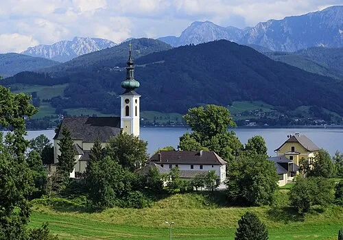 Wachtberg Mountain, Weyregg am Attersee4.6 km SE
-
Rossmoos Mountain, Nußdorf am Attersee5.3 km SW
-
Gahberg Mountain, Weyregg am Attersee4.9 km E
-
Attersee Lake, Upper Austria4 km SE
-
Kienesberg Mountain, Weyregg am Attersee7.4 km E
Sources & licences
Data last updated: