Krenglbach
Located in Wels-Land District, Upper Austria Coordinates: 48°12′19″ N 13°57′21″ E
- Population
- 3,098
- 3.1K
- Elevation
- 309 m
- above sea level
- Local time
- UTC+01:00
- Europe/Vienna · UTC+01:00
- Places inside
- 20
- listed under Krenglbach
About Krenglbach
Krenglbach is a municipality. Location: Wels-Land District, Upper Austria. Population: 3,098. Elevation: 309 m.
In comparison
- No. 8 of 24 places in Wels-Land District by population
- Nearest larger town: Bad Schallerbach, 4 km NW
- 5 sights and natural places within 10 km Trattnach, Polsenz
- Listed here: Village: 20
Places in Krenglbach
20 places-
Krenglbach Village583
-
Katzbach Village414
-
Forst Village322
-
Gfereth Village276
-
Wieshof Village236
-
Gölding Village229
-
Haiding Village222
-
Kalteneck Village213
-
Schmiding Village210
-
Alkrucken Village109
-
Nadernberg Village65
-
Wundersberg Village45
-
Geigen Village42
-
Oberham Village42
-
Unrading Village42
-
Elmischhub Village26
-
Holzhäuser Village20
-
Au Village16
-
Achleiten Village4
-
Fernreith Village
Nearby attractions & nature
Everything nearby-
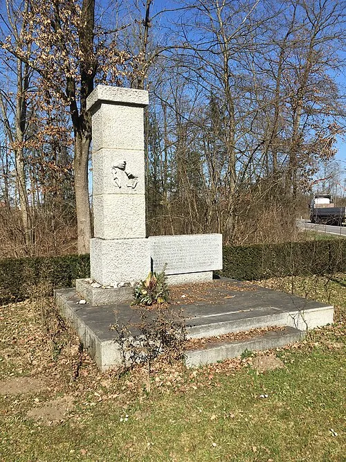 Gunskirchen Concentration Camp (Wels I) Historic site, Gunskirchen8 km S
-
Trattnach River, Upper Austria5 km N
-
Polsenz River, Upper Austria5 km N
-
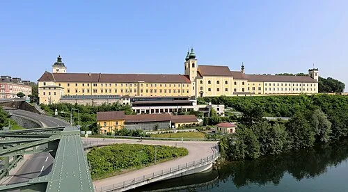 Lambach Abbey Attraction, Lambach14 km SW
-
Wels II Concentration Camp Historic site, Wels7.5 km SE
-
Aiterbach River, Upper Austria7.6 km SE
-
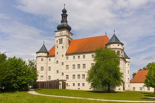 Hartheim Euthanasia Centre Historic site, Alkoven14 km NE
-
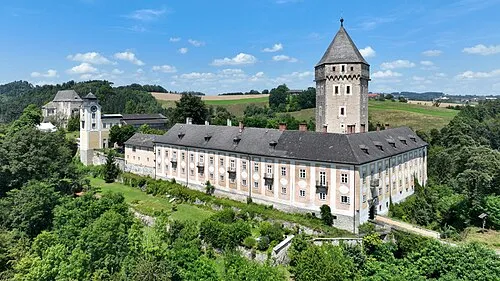 Schloss Neuhaus Historic site, Sankt Martin im Mühlkreis24 km N
Sources & licences
Data last updated: