Pichl bei Wels
Located in Wels-Land District, Upper Austria Coordinates: 48°11′06″ N 13°53′54″ E
- Population
- 2,807
- 2.8K
- Elevation
- 329 m
- above sea level
- Local time
- UTC+01:00
- Europe/Vienna · UTC+01:00
- Places inside
- 53
- listed under Pichl bei Wels
About Pichl bei Wels
Pichl bei Wels is a municipality. Location: Wels-Land District, Upper Austria. Population: 2,807. Elevation: 329 m.
In comparison
- No. 9 of 24 places in Wels-Land District by population
- Nearest larger town: Schlüsslberg, 4 km NW
- 7 sights and natural places within 10 km Sankt Veit, Schloss Würting
- Listed here: Village: 52, Neighbourhood: 1
Places in Pichl bei Wels
53 places-
Pichl bei Wels Village707
-
Schalbach Village396
-
Etzelsdorf Village250
-
Unterirrach Village204
-
Schnittering Village133
-
Sulzbach Village125
-
Geisensheim Village119
-
Pfaffendorf Village95
-
Fadleiten Village62
-
Kaiserleiten Village45
-
Oedt Village45
-
Weilbach Village43
-
Freiung Village36
-
Breitwies Village34
-
Franzing Village31
-
Oberthambach Village31
-
Nisting Village27
-
Stadl Village27
-
Unterthambach Village26
-
Müllerberg Village23
-
Inn Village22
-
Mitterleiten Village17
-
Schnappling Village17
-
Steinpichl Village16
-
Aichmühl Village15
-
Waldgattern Village15
-
Ach Village14
-
Am Irrach Village14
-
Silbersberg Village14
-
Schmiedsberg Village12
-
Trappelsberg Village12
-
Falzberg Village11
-
Moosleiten Village11
-
Oberirrach Village10
-
Pröstlsberg Village10
-
Haag Village9
-
Hochwimm Village9
-
Schustersberg Village9
-
Auhub Village8
-
Puchet Village8
-
Weinberg Village8
-
Angsterlehen Village7
-
Uttendorf Village7
-
Aichet Village6
-
Kerschberg Village6
-
Winkelfeld Village6
-
Malling Village5
-
Brandstatt Village4
-
Jägersberg Village3
-
Lechlödt Village1
-
Öhlgraben Village
-
Reith Village
-
Winkeln Neighbourhood
Nearby attractions & nature
Everything nearby-
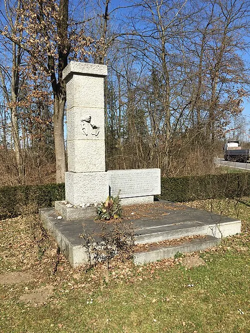 Gunskirchen Concentration Camp (Wels I) Historic site, Gunskirchen7 km SE
-
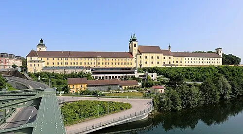 Lambach Abbey Attraction, Lambach11 km S
-
Sankt Veit Attraction, Meggenhofen6.4 km W
-
Schloss Würting Historic site, Offenhausen6.6 km SW
-
Bachmanning Concentration Camp Historic site, Bachmanning9.8 km SW
-
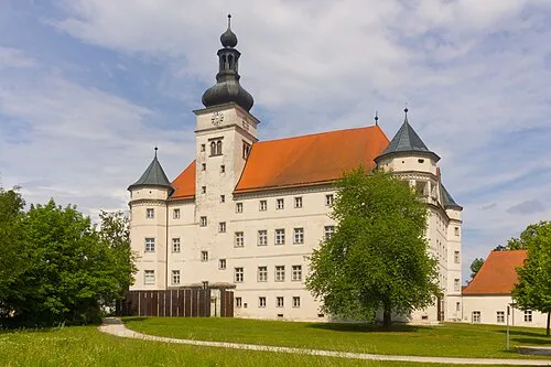 Hartheim Euthanasia Centre Historic site, Alkoven19 km NE
-
Aiterbach River, Upper Austria9.6 km SE
-
Trattnach River, Upper Austria8.8 km NE
Sources & licences
Data last updated: