Viktorsberg
Located in Feldkirch District, Vorarlberg Coordinates: 47°18′32″ N 9°43′20″ E
- Population
- 405
- 405
- Elevation
- 946 m
- above sea level
- Local time
- UTC+01:00
- Europe/Vienna · UTC+01:00
- Places inside
- 4
- listed under Viktorsberg
About Viktorsberg
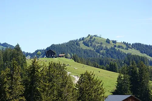
Viktorsberg is a municipality. Location: Feldkirch District, Vorarlberg. Population: 405. Elevation: 946 m.
In comparison
- No. 22 of 24 places in Feldkirch District by population
- Nearest larger town: Fraxern, 2 km NW
- 100 sights and natural places within 10 km Hörnle, First
- Listed here: Mountain: 3, Village: 1
Places in Viktorsberg
4 places-
Viktorsberg Village411
-
Dümelekopf Mountain
-
Hörnle Mountain
-
Letze Mountain
Nearby attractions & nature
Everything nearby-
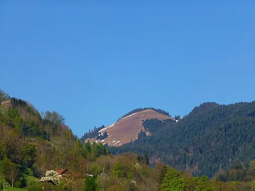 First Mountain, Fraxern1.9 km N
-
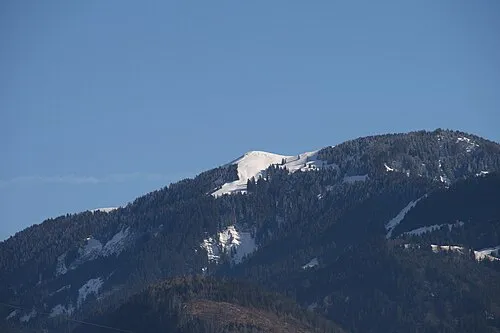 Hohe Kugel Mountain, Fraxern2.7 km N
-
Grafenboden Mountain, Zwischenwasser1.9 km S
-
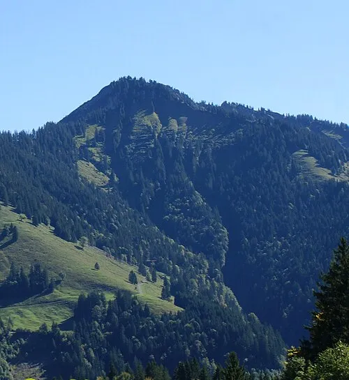 Alpkopf Mountain, Dornbirn4.3 km NE
-
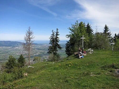 Kapf Mountain, Götzis4.7 km NW
-
Alpwegkopf Mountain, Laterns3.9 km S
-
 Nob Mountain, Laterns4.3 km SE
-
Männle Mountain, Laterns3.5 km S
Sources & licences
Data last updated: