Warth
Located in Politischer Bezirk Bregenz, Vorarlberg Coordinates: 47°15′36″ N 10°09′48″ E
- Population
- 155
- 155
- Elevation
- 1,696 m
- above sea level
- Local time
- UTC+01:00
- Europe/Vienna · UTC+01:00
- Places inside
- 8
- listed under Warth
About Warth
Warth is a municipality. Location: Politischer Bezirk Bregenz, Vorarlberg. Population: 155. Elevation: 1,696 m.
In comparison
- No. 40 of 40 places in Politischer Bezirk Bregenz by population
- Nearest larger town: Schröcken, 5 km W
- 129 sights and natural places within 10 km Wannenkopf, Warther Horn
- Listed here: Mountain: 4, Attraction: 1, Lake: 1, Neighbourhood: 1
Places in Warth
8 places-
Warth Village148
-
Hochkrumbach Neighbourhood22
-
Kalbelesee Lake
-
Karhorn Mountain
-
Pfarrkirche Warth Attraction
-
Saloberkopf Mountain
-
Simmel Mountain
-
Wannenkopf Mountain
Nearby attractions & nature
Everything nearby-
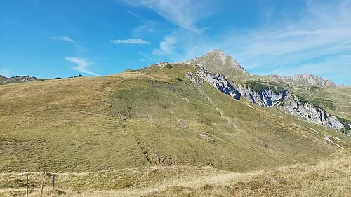 Haldenwanger Kopf Mountain, Germany1.9 km NE
-
Warther Horn Mountain, Lech1.1 km SW
-
Auenfelder Horn Mountain, Lech2 km SW
-
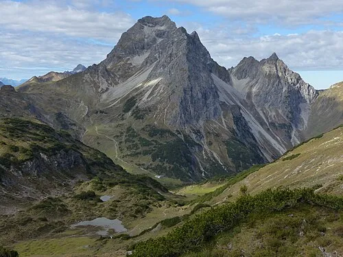 Großer Widderstein Mountain, Mittelberg3.8 km NW
-
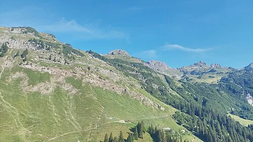 Wildengundkopf Mountain, Oberstdorf, Markt3.4 km NE
-
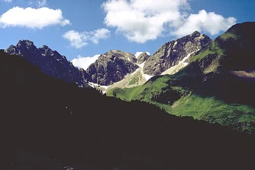 Angererkopf Mountain, Mittelberg4.1 km NE
-
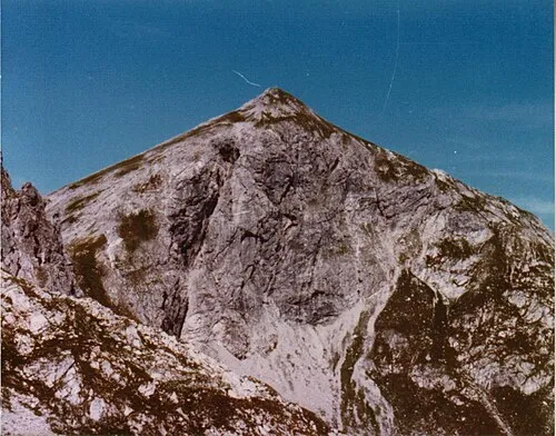 Liechelkopf Mountain, Germany4.2 km N
-
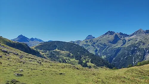 Grüner Mountain, Oberstdorf, Markt3.8 km NE
Sources & licences
Data last updated: