- Elevation
- 199 m
- above sea level
- Local time
- UTC+02:00
- Asia/Nicosia · UTC+02:00
- Airports
- LCA Larnaca International Airport9 km
- ECN Ercan International Airport31 km
About Moútti tou Alexikoú
Moútti tou Alexikoú is a mountain. Location: Klavdiá, Larnaka. Elevation: 199 m. The best months to visit are April–May, November. The nearest airport is Larnaca International Airport (9 km). Nearby sights include Vounó and Pámpoulos.
Photos of Moútti tou Alexikoú
-
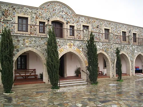
Stavrovoúni Dickelbers · CC BY-SA 3.0

Climate of Moútti tou Alexikoú
Best months for sightseeingBest months for sightseeing: April–May, November.
This month · November
A good month to visit
Day 22° · Night 11° · Rain 51 mm
- Hottest month
- August (day 34°)
- Coldest month
- January (night 6°)
- Wettest month
- December (91 mm)
- Driest month
- July (1 mm)
Bars: average monthly low and high temperature. Below: precipitation. Monthly averages for 1970–2000 at about 18 km resolution, adjusted for elevation. Highlighted months are mild and relatively dry. Source: WorldClim 2.1 (CC BY 4.0).
Show values as a table
| Month | Jan | Feb | Mar | Apr | May | Jun | Jul | Aug | Sep | Oct | Nov | Dec |
|---|---|---|---|---|---|---|---|---|---|---|---|---|
| Average high (°C) | 15° | 16° | 18° | 22° | 27° | 31° | 33° | 34° | 32° | 28° | 22° | 17° |
| Average low (°C) | 6° | 6° | 7° | 10° | 14° | 18° | 21° | 21° | 19° | 15° | 11° | 8° |
| Precipitation (mm) | 72 | 53 | 46 | 20 | 15 | 4 | 1 | 1 | 4 | 23 | 51 | 91 |
How to get to Moútti tou Alexikoú
The nearest airport is Larnaca International Airport (LCA), 9 km to the east as the crow flies. The nearest large city is Nicosia, 36 km to the northwest.
Airports
- Larnaca International Airport (LCA) Larnaca 9 kmeast
- Ercan International Airport (ECN) Tymbou (Kirklar) 31 kmnorth
- Paphos International Airport (PFO) Paphos 96 kmwest
Nearby large cities
- Nicosia Population: 200.5K 36 kmnorthwest
- Limassol Population: 154K 49 kmsouthwest
- Silifke Population: 132.7K 171 kmnorth
- Alanya Population: 364.2K 230 kmnorthwest
- Mersin Population: 537.8K 237 kmnortheast
Straight-line distances; road distances are longer. Airport data: OurAirports.
Day trips from Moútti tou Alexikoú
Within 100 km: 1,311 historic and cultural sites, 548 natural sites, 105 lakes, rivers and coasts.
0–25 km241 places
- Stavrovoúni Attraction 8 kmW
- Kastela Beach 11 kmE
- Barsak Mountain 23 kmN
- Karavoi Mountain 18 kmN
25–60 km937 places
- Cyprus Island 51 kmW
- Governor’s Beach Beach 29 kmSW
- Poseidon Beach Beach 39 kmE
- Nissi Beach Beach 43 kmE
60–100 km786 places
- Mount Olympus Mountain 60 kmW
- Tsada Community Park Natural site 96 kmW
- Asprovounaro Mountain 96 kmW
- Tala (Kamares Tennis Courts) Landmark 99 kmW
Straight-line distances.
Nearest towns and villages
-
Klavdia Village, Klavdiá1.8 km N
-
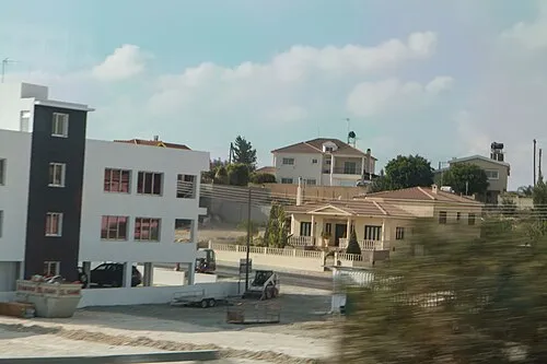 Aradhippou Town, Aradíppou9.9 km NE
-
Alethriko Village, Alethrikó3.1 km SW
-
Tersefanou Village, Tersefánou3.5 km SE
-
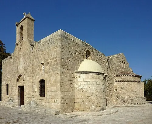 Kiti, Cyprus Town, Kíti5.9 km SE
-
Dromolaxia Town, Dromolaxia-Meneou6 km E
Nearby attractions & nature
Everything nearby-
Vounó Mountain, Tersefánou3.9 km E
-
Pámpoulos Mountain, Kivisíli3.9 km S
-
Ágios Epifánios Attraction, Alethrikó1.7 km W
-
Papalias Mountain, Pyrga (Larnakas)5.7 km NW
-
Kapsalerómoutti Mountain, Kalo Chorio (Larnakas)4.9 km NE
-
Kouzoúla Mountain, Kalo Chorio (Larnakas)4.9 km N
-
Aspropetra Mountain, Anglisídes5.1 km W
-
Ágios Andrónikos Attraction, Tersefánou3.3 km SE
Sources & licences
Data last updated: