Ayios Andreas
Local name: Άγιος Ανδρέας
Located in Nicosia Municipality, Nicosia Coordinates: 35°10′29″ N 33°20′47″ E
- Population
- 5,840
- 5.8K
- Elevation
- 157 m
- above sea level
- Local time
- UTC+02:00
- Asia/Nicosia · UTC+02:00
About Ayios Andreas
Ayios Andreas is a village. Location: Nicosia Municipality, Nicosia. Population: 5,840. Elevation: 157 m.
Ayios Andreas or Tophane is a Neighbourhood, Quarter, Mahalla or Parish of Nicosia, Cyprus. In September 1945, the Ottoman name of Tophane (which means arsenal) was changed to Ayios Andreas, but there is no parish church of that name. At the last Census (2011) it had a population of 5,767, an increase from a population of 5,185 in 2001. It covers an area in the south-western part of the municipal area of Nicosia, within and without the walls.
Read more on Wikipedia Text: Wikipedia contributors · CC BY-SA 4.0 · shortened
In comparison
- No. 4 of 16 places in Nicosia Municipality by population
- Nearest larger town: Ayios Dhometios, 1 km W
- 89 sights and natural places within 10 km Cyprus Archaeological Museum, Ágios Pávlos
Nearby attractions & nature
Everything nearby-
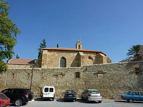 Notre Dame de Tyre Attraction, Nicosia Municipality1.1 km E
-
Cyprus Archaeological Museum Museum, Nicosia Municipality0.9 km E
-
Arabahmet Camii Attraction, Nicosia Municipality1.1 km E
-
Kanlı Mescit Attraction, Nicosia Municipality1.1 km E
-
Dervis Paşa Konağı Museum, Nicosia Municipality1.2 km E
-
Ágios Pávlos Attraction, Ágios Dométios1.1 km NW
Sources & licences
Data last updated: · 2 independent sources