Panagia
Local name: Παναγία
Located in Nicosia Municipality, Nicosia Coordinates: 35°10′33″ N 33°23′27″ E
- Population
- 12,398
- 12.4K
- Elevation
- 127 m
- above sea level
- Local time
- UTC+02:00
- Asia/Nicosia · UTC+02:00
About Panagia
Panagia is a neighbourhood. Location: Nicosia Municipality, Nicosia. Population: 12,398.
Pallouriotissa (Greek: Παλλουριώτισσα [locally [palːuˈr̥kotisːa]]) is an area of Nicosia, Cyprus, formerly an independent village, which was annexed to the municipality in 1968. It was subsequently divided into the quarters of Panayia (Panagia) and Saints Constantine and Helen (Agioi Konstantinos kai Eleni). As of 2011, their combined population was 15,607. Pallouriotissa is immediately south of Kaimakli.
Read more on Wikipedia Text: Wikipedia contributors · CC BY-SA 4.0 · shortened
In comparison
- Most populous of 16 places in Nicosia Municipality
- Nearest larger town: Aglantzia, 2 km S
- 88 sights and natural places within 10 km Panagía, Orié
Airports nearest to Panagia
- Ercan International Airport (ECN) Tymbou (Kirklar) 11 km
- Larnaca International Airport (LCA) Larnaca 40 km
- Paphos International Airport (PFO) Paphos 97 km
Straight-line distance; airports with scheduled flights only. Source: OurAirports (public domain).
Nearby attractions & nature
Everything nearby-
Panagía Attraction, Nicosia Municipality1 km W
-
Orié Mountain, Nicosia Municipality1.4 km S
-
Ágios Konstantínos Attraction, Nicosia Municipality1.4 km SW
-
Panagía Evangelístria Attraction, Nicosia Municipality1.5 km W
-
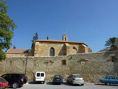 Notre Dame de Tyre Attraction, Nicosia Municipality3 km W
-
Agía Varvára Attraction, Nicosia Municipality1.7 km NW
Sources & licences
Data last updated: · 2 independent sources