Kotopeky
Located in Beroun District, Central Bohemia Coordinates: 49°51′11″ N 13°55′35″ E
- Elevation
- 340 m
- above sea level
- Local time
- UTC+01:00
- Europe/Prague · UTC+01:00
- Places inside
- 1
- listed under Kotopeky
About Kotopeky
Kotopeky is a municipality. Location: Beroun District, Central Bohemia. Elevation: 340 m.
In comparison
- Nearest larger town: Kotopeky, 0 km N
- 9 sights and natural places within 10 km Ostrý, Opyš
Airports nearest to Kotopeky
- Václav Havel Airport Prague (PRG) Prague 37 km
- Karlovy Vary Airport (KLV) Karlovy Vary 82 km
- České Budějovice South Bohemian Airport (JCL) České Budějovice 107 km
Straight-line distance; airports with scheduled flights only. Source: OurAirports (public domain).
Places in Kotopeky
1 place-
Kotopeky Village270
Nearby attractions & nature
Everything nearby-
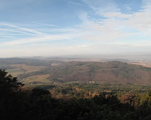 Ostrý Mountain, Rpety4.3 km SE
-
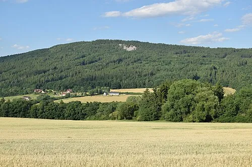 Plešivec Mountain, Jince6.5 km SE
-
Opyš Mountain, Drozdov5.9 km NW
-
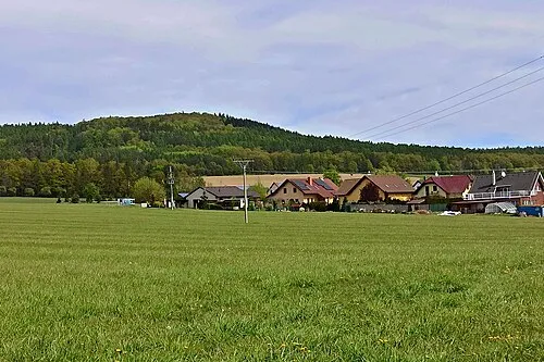 Holý vrch Mountain, Drozdov7.5 km NW
-
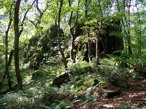 Vraní skála Mountain, Svatá8.4 km N
-
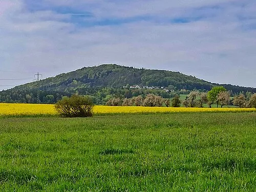 Jivina Mountain, Jivina9.8 km SW
-
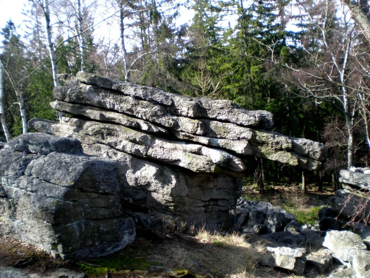 Koníček [Podluhy v Brdech] Mountain, Ohrazenice9.4 km S
-
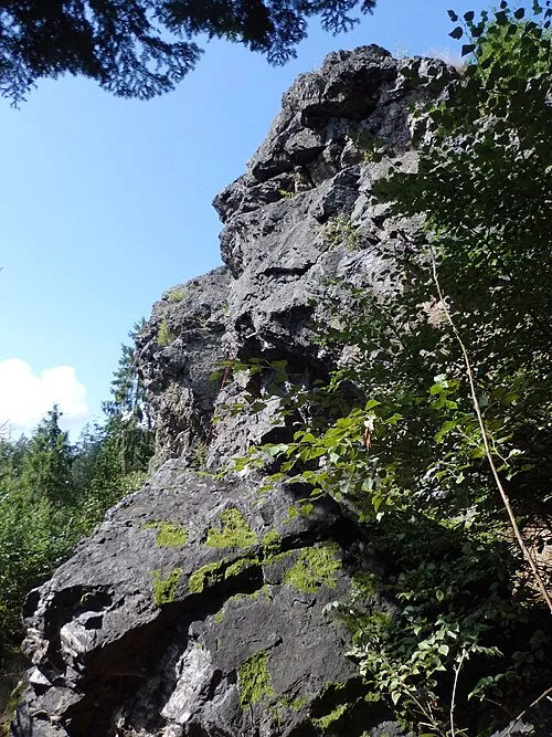 Dehetnická skála Mountain, Líšná9.8 km NW
Sources & licences
Data last updated: