Obora
Located in Doksy, Česká Lípa District Coordinates: 50°32′45″ N 14°40′19″ E
- Population
- 381
- 381
- Elevation
- 279 m
- above sea level
- Local time
- UTC+01:00
- Europe/Prague · UTC+01:00
About Obora
Obora is a village. Location: Doksy, Česká Lípa District. Population: 381. Elevation: 279 m.
At a glance
- Area
- 4 km²
Source: Wikidata
In comparison
- No. 3 of 5 places in Doksy by population
- Nearest larger town: Doksy, 2 km NW
- 8 sights and natural places within 10 km Borný, Pecopala
Nearby attractions & nature
Everything nearby-
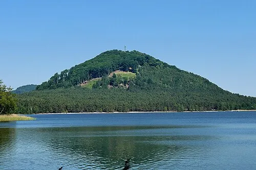 Borný Mountain, Doksy4.9 km N
-
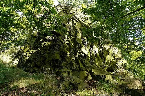 Pecopala Mountain, Doksy5.7 km N
-
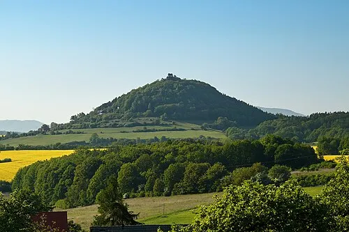 Berkovský vrch Mountain, Vrchovany6.6 km W
-
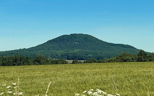 Šedina [Skalka u Doks] Mountain, Chlum6.3 km NW
-
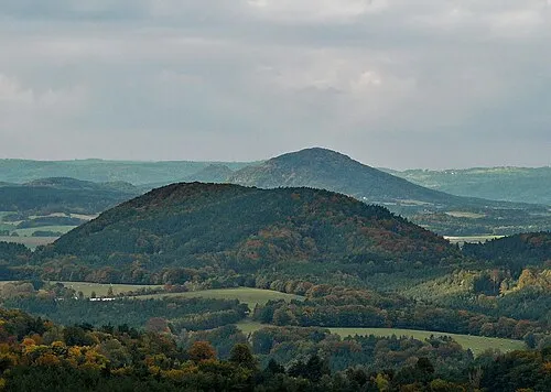 Velký Beškovský kopec Mountain, Blatce7 km SW
-
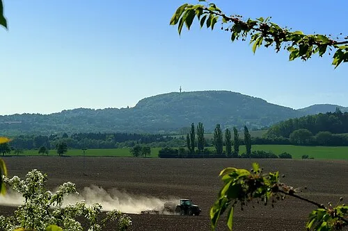 Vrátenská hora [Nosálov-Libovice] Mountain, Liberec Region7.6 km S
Sources & licences
Data last updated: · 2 independent sources