Hrádek nad Nisou
Located in Liberec District, Liberec Region Coordinates: 50°50′20″ N 14°49′55″ E
- Elevation
- 310 m
- above sea level
- Local time
- UTC+01:00
- Europe/Prague · UTC+01:00
- Places inside
- 4
- listed under Hrádek nad Nisou
About Hrádek nad Nisou
Hrádek nad Nisou is a municipality. Location: Liberec District, Liberec Region. Elevation: 310 m.
In comparison
- Nearest larger town: Hrádek nad Nisou, 2 km NE
- 28 sights and natural places within 10 km Sedlecký Špičák, Popova skála [Hrádek nad Nisou-Dolní Sedlo]
- Listed here: Mountain: 3, Town: 1
Places in Hrádek nad Nisou
4 places-
Hrádek nad Nisou Town8K
-
Pískový vrch Mountain
-
Sedlecký Špičák Mountain
Nearby attractions & nature
Everything nearby-
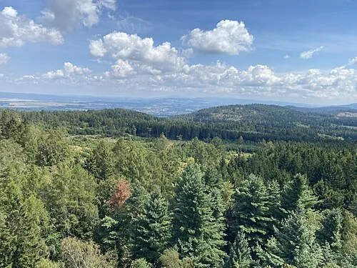 Heideberg Mountain, Oybin3.4 km W
-
Straßberg Mountain, Zittau2.9 km W
-
Brandhöhe Mountain, Oybin5.4 km W
-
Zigeunerberg Mountain, Oybin4.2 km W
-
Louisenhöhe Mountain, Oybin5.1 km W
-
Butterhübel Mountain, Olbersdorf5.2 km NW
-
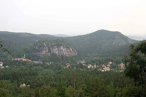 Ameisenberg Mountain, Olbersdorf6.4 km W
-
Zittauer Stadtwald Natural site, Saxony4.8 km W
Sources & licences
Data last updated: