Janovice v Podještědí
Located in Liberec District, Liberec Region Coordinates: 50°45′57″ N 14°49′55″ E
- Elevation
- 365 m
- above sea level
- Local time
- UTC+01:00
- Europe/Prague · UTC+01:00
- Places inside
- 1
- listed under Janovice v Podještědí
About Janovice v Podještědí
Janovice v Podještědí is a municipality. Location: Liberec District, Liberec Region. Elevation: 365 m.
In comparison
- Nearest larger town: Janovice v Podještědí, 1 km W
- 15 sights and natural places within 10 km Pískový vrch, Špičák
Places in Janovice v Podještědí
1 place-
Janovice v Podještědí Village92
Nearby attractions & nature
Everything nearby-
Pískový vrch Mountain, Hrádek nad Nisou5 km N
-
Špičák Mountain, Hamr na Jezeře5.3 km S
-
Popova skála [Hrádek nad Nisou-Dolní Sedlo] Mountain, Hrádek nad Nisou6.8 km N
-
Dlouhá hora [Bílý Kostel nad Nisou-Panenská Hůrka] Mountain, Bílý Kostel nad Nisou7 km NE
-
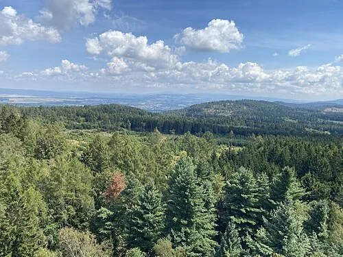 Heideberg Mountain, Oybin8.8 km NW
-
Sedlecký Špičák Mountain, Hrádek nad Nisou7.5 km N
-
Malý Ještěd Mountain, Křižany8.2 km E
-
Brandhöhe Mountain, Oybin9.5 km NW
Sources & licences
Data last updated: