Rozstání
Located in Světlá pod Ještědem, Liberec District Coordinates: 50°42′18″ N 14°58′29″ E
- Population
- 527
- 527
- Elevation
- 450 m
- above sea level
- Local time
- UTC+01:00
- Europe/Prague · UTC+01:00
About Rozstání
Rozstání is a village. Location: Světlá pod Ještědem, Liberec District. Population: 527. Elevation: 450 m.
At a glance
- Area
- 2.3 km²
Source: Wikidata
In comparison
- No. 2 of 4 places in Světlá pod Ještědem by population
- Nearest larger town: Světlá pod Ještědem, 1 km NE
- 5 sights and natural places within 10 km Ještěd, Malý Ještěd
Nearby attractions & nature
Everything nearby-
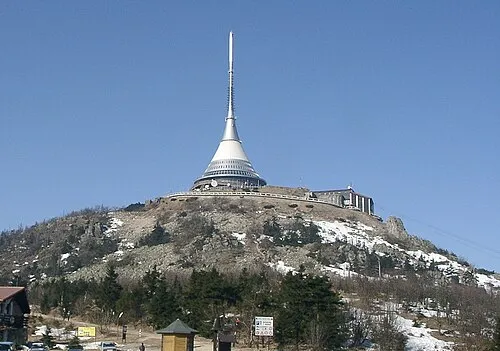 Ještěd Mountain, Světlá pod Ještědem3.2 km N
-
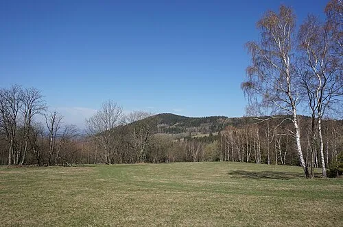 Malý Ještěd Mountain, Křižany5.1 km NW
-
Rozsocha Mountain, Kryštofovo Údolí6.6 km N
-
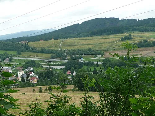 Císařův kámen Mountain, Liberec9.2 km E
-
Dlouhá hora [Bílý Kostel nad Nisou-Panenská Hůrka] Mountain, Bílý Kostel nad Nisou10 km N
-
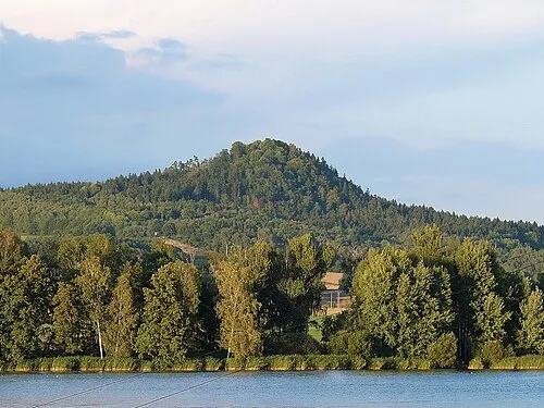 Špičák Mountain, Hamr na Jezeře9.2 km W
Sources & licences
Data last updated: · 2 independent sources