Rozsocha
Located in Kryštofovo Údolí, Liberec District Coordinates: 50°45′52″ N 14°58′06″ E
- Elevation
- 767 m
- above sea level
- Local time
- UTC+01:00
- Europe/Prague · UTC+01:00
- Airports
- PRG Václav Havel Airport Prague89 km
- DRS Dresden Airport94 km
About Rozsocha
Rozsocha is a mountain. Location: Kryštofovo Údolí, Liberec District. Elevation: 767 m. The best months to visit are June–August. The nearest airport is Václav Havel Airport Prague (89 km). Nearby sights include Malý Ještěd and Ještěd.
Photos of Rozsocha
-
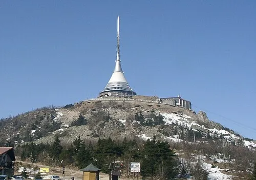
Ještěd Bernd Gutte · CC BY-SA 3.0 -
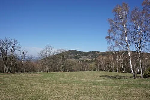
Malý Ještěd MartinVeselka · CC BY-SA 4.0


Climate of Rozsocha
Best months for sightseeingBest months for sightseeing: June–August.
This month · November
A cold month
Day 3° · Night -2° · Rain 44 mm
- Hottest month
- August (day 20°)
- Coldest month
- January (night -6°)
- Wettest month
- July (92 mm)
- Driest month
- February (33 mm)
Bars: average monthly low and high temperature. Below: precipitation. Monthly averages for 1970–2000 at about 18 km resolution, adjusted for elevation. Highlighted months are mild and relatively dry. Source: WorldClim 2.1 (CC BY 4.0).
Show values as a table
| Month | Jan | Feb | Mar | Apr | May | Jun | Jul | Aug | Sep | Oct | Nov | Dec |
|---|---|---|---|---|---|---|---|---|---|---|---|---|
| Average high (°C) | -2° | 0° | 4° | 9° | 15° | 17° | 19° | 20° | 15° | 9° | 3° | 0° |
| Average low (°C) | -6° | -6° | -3° | 0° | 5° | 8° | 9° | 9° | 6° | 3° | -2° | -5° |
| Precipitation (mm) | 37 | 33 | 40 | 40 | 76 | 75 | 92 | 87 | 51 | 45 | 44 | 43 |
How to get to Rozsocha
The nearest airport is Václav Havel Airport Prague (PRG), 89 km to the southwest as the crow flies. The nearest large city is Prague, 85 km to the southwest.
Airports
- Václav Havel Airport Prague (PRG) Prague 89 kmsouthwest
- Dresden Airport (DRS) Dresden 94 kmnorthwest
- Pardubice Airport (PED) Pardubice 100 kmsoutheast
Nearby large cities
- Prague Population: 1.2M 85 kmsouthwest
- Dresden Population: 564.9K 92 kmwest
- Chemnitz Population: 247.2K 144 kmwest
- Leipzig Population: 505K 193 kmwest
- Gera Population: 104.7K 204 kmwest
Straight-line distances; road distances are longer. Airport data: OurAirports.
Day trips from Rozsocha
Within 100 km: 171 historic and cultural sites, 1,082 natural sites, 120 lakes, rivers and coasts.
0–25 km77 places
- Zigeunerberg Mountain 16 kmNW
- Töpfer Mountain 17 kmNW
- Straßberg Mountain 14 kmNW
- Steinberg Mountain 21 kmNW
25–60 km435 places
- Lysá Mountain 27 kmSW
- Tvarožník Mountain 39 kmE
- Hořidla Mountain 55 kmSW
- Vosí vrch Mountain 42 kmW
60–100 km861 places
- Erzgebirge Mountain 83 kmW
- Pirna-Sonnenstein Mountain 75 kmW
- Bielec Mountain 68 kmE
- Buschteich Lake 81 kmNW
Straight-line distances.
Nearest towns and villages
-
Kryštofovo Údolí Village, Kryštofovo Údolí2.7 km NW
-
Stráž nad Nisou Village, Stráž nad Nisou5.1 km NE
-
Chrastava Town, Chrastava5.8 km N
-
Křižany Village, Křižany5 km SW
-
Světlá pod Ještědem Village, Světlá pod Ještědem6 km S
-
Zdislava Village, Zdislava6.5 km W
Nearby attractions & nature
Everything nearby-
Malý Ještěd Mountain, Křižany2.6 km SW
-
Ještěd Mountain, Světlá pod Ještědem3.7 km S
-
Dlouhá hora [Bílý Kostel nad Nisou-Panenská Hůrka] Mountain, Bílý Kostel nad Nisou4.3 km NW
-
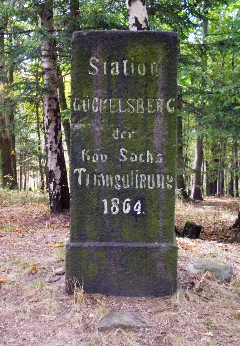 Gickelsberg Mountain, Chrastava11 km N
-
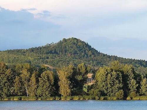 Špičák Mountain, Hamr na Jezeře9.9 km SW
-
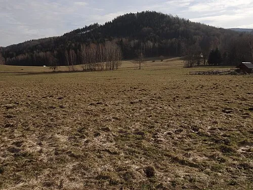 Ostrý Mountain, Mníšek10 km NE
-
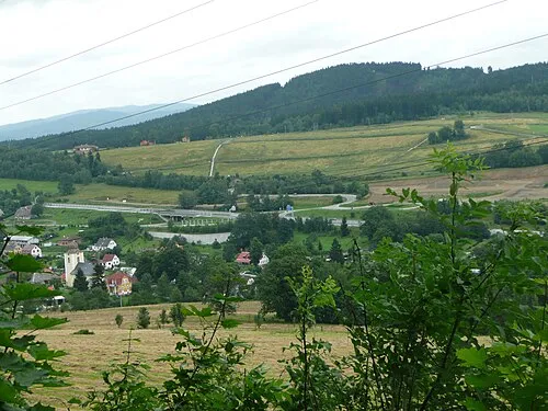 Císařův kámen Mountain, Liberec11 km SE
-
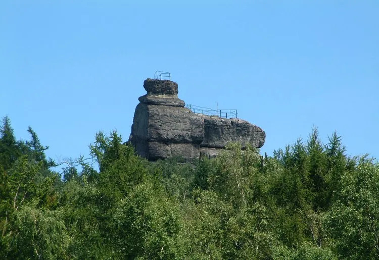 Popova skála [Hrádek nad Nisou-Dolní Sedlo] Mountain, Hrádek nad Nisou13 km NW
Sources & licences
Data last updated: · 2 independent sources