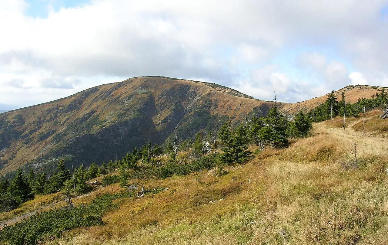
Kotel
Located in Vítkovice, Semily District Coordinates: 50°45′09″ N 15°31′47″ E
- Elevation
- 1,435 m
- above sea level
- Local time
- UTC+01:00
- Europe/Prague · UTC+01:00
About Kotel
Kotel is a mountain. Location: Vítkovice, Semily District. Elevation: 1,435 m.
At a glance
- Topographic prominence
- 100 m
Source: Wikidata
In comparison
- No. 6 of 1286 mountains in Czechia by elevation
- 19 sights and natural places within 10 km Lysá hora, Zadní Plech
Nearest towns and villages
-
Špindlerův Mlýn Village, Špindlerův Mlýn6.3 km SE
-
Szklarska Poręba Municipality, Jelenia Góra County8.2 km NW
-
Rokytnice nad Jizerou Village, Rokytnice nad Jizerou7.4 km SW
-
Harrachov Village, Harrachov7.3 km W
-
Rokytnice nad Jizerou Municipality, Semily District4 km W
-
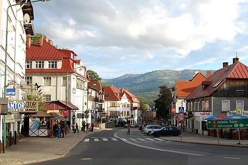 Szklarska Poręba Town, Szklarska Poręba8.2 km N
Nearby attractions & nature
Everything nearby-
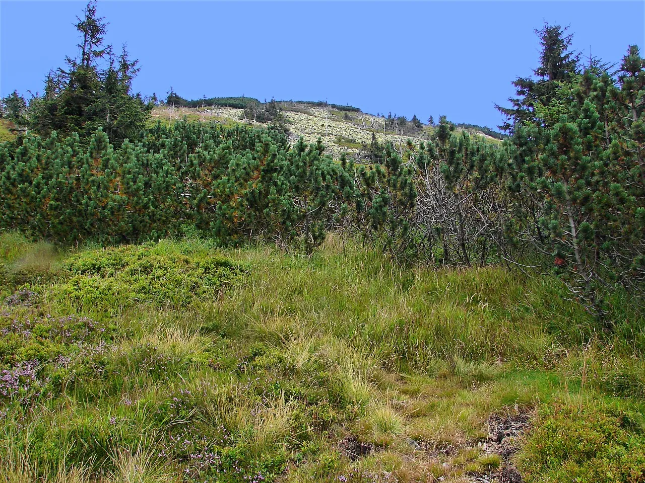 Lysá hora Mountain, Rokytnice nad Jizerou1.4 km W
-
Zadní Plech Mountain, Harrachov2.7 km W
-
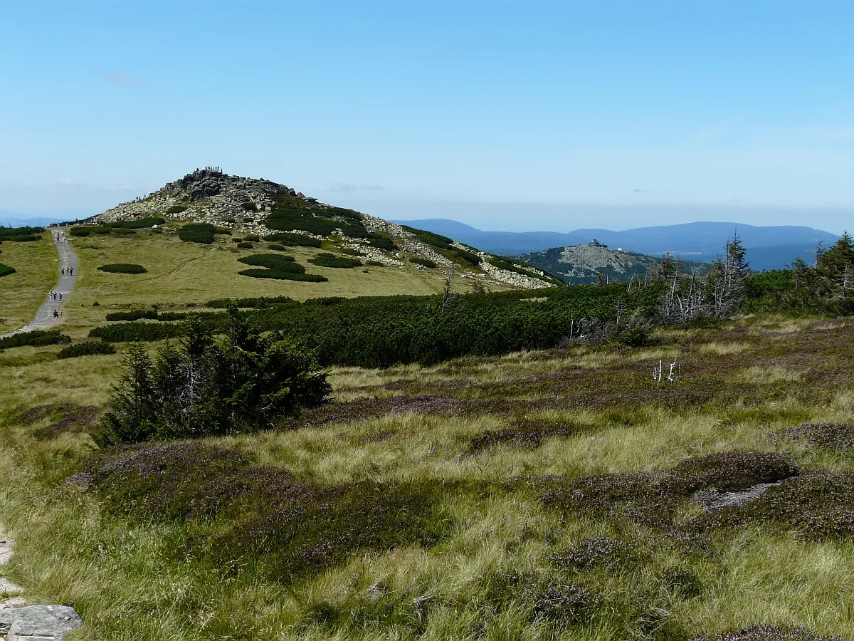 Łabski Szczyt Mountain, Piechowice3.3 km N
-
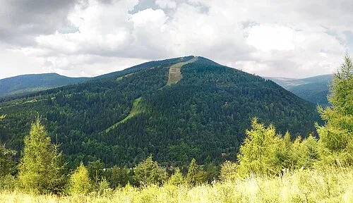 Medvědín Mountain, Špindlerův Mlýn4 km E
-
Sedmidolí Natural site, Czechia3.8 km E
-
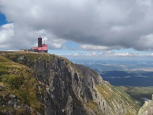 Czarcia Ambona Mountain, Poland3.4 km NE
-
Tvarožník Mountain, Poland3.6 km N
-
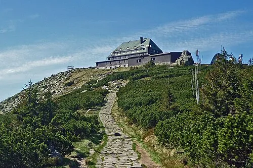 Szrenica Mountain, Szklarska Poręba4.5 km N
Sources & licences
Data last updated: · 2 independent sources