- Elevation
- 1,210 m
- above sea level
- Local time
- UTC+01:00
- Europe/Prague · UTC+01:00
- Airports
- PED Pardubice Airport84 km
- WRO Copernicus Wrocław Airport105 km
About Zadní Plech
Zadní Plech is a mountain. Location: Harrachov, Semily District. Elevation: 1,210 m. The best months to visit are July–August. The nearest airport is Pardubice Airport (84 km). Nearby sights include Lysá hora and Kotel.
Photos of Zadní Plech
-
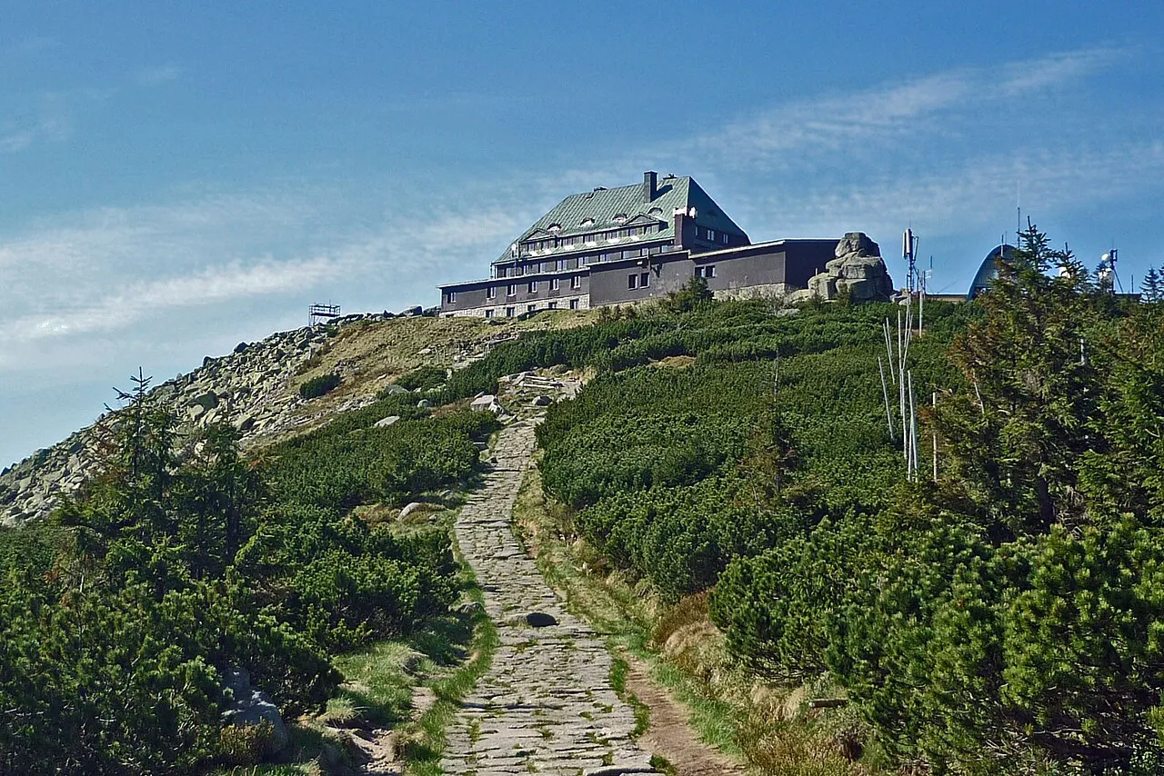
Szrenica SchiDD · CC BY-SA 3.0 -
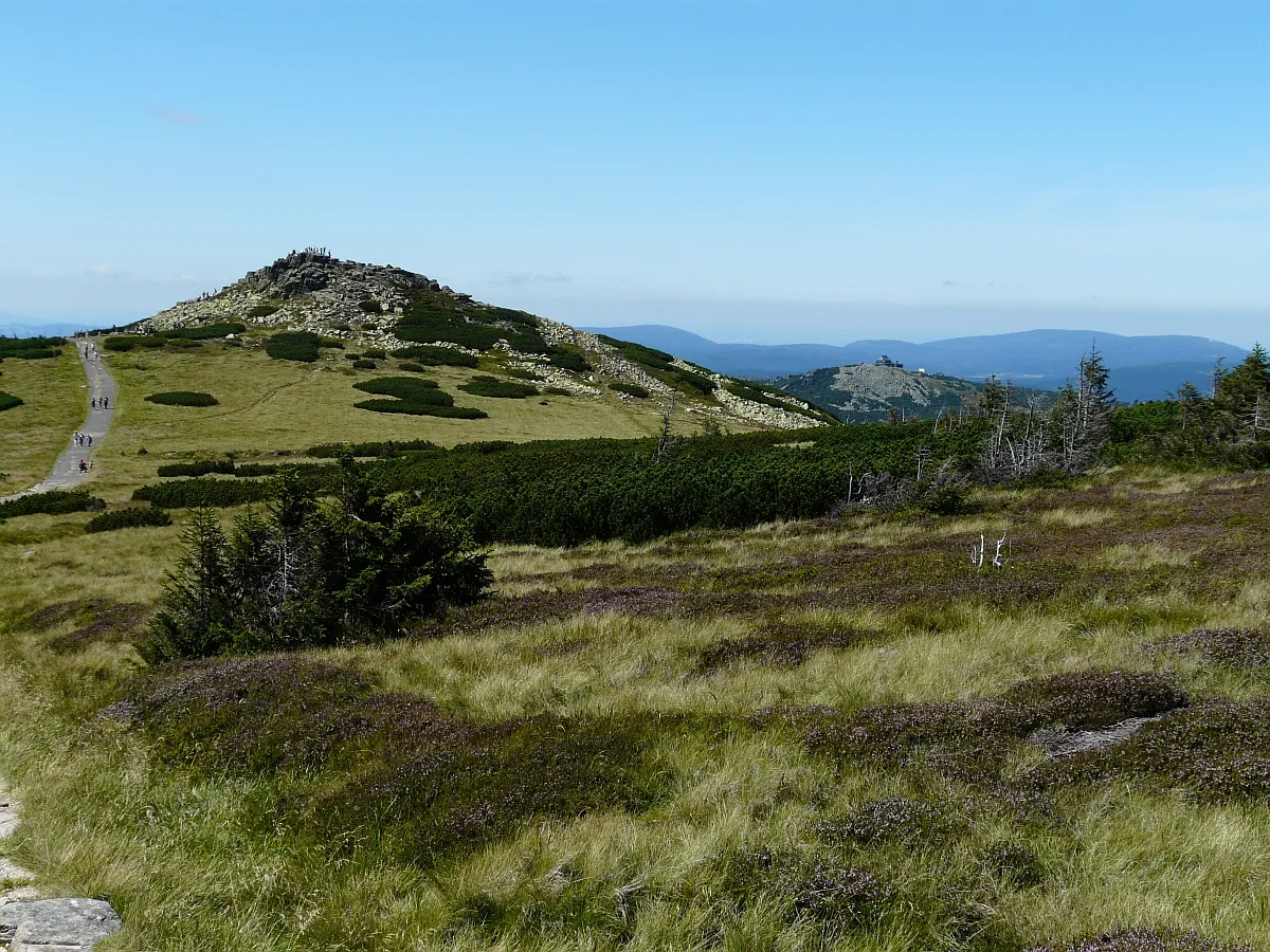
Łabski Szczyt Piotr Kobierski · CC BY-SA 3.0 -
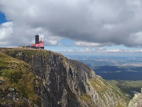
Czarcia Ambona Amphibolitian · CC BY-SA 4.0 -
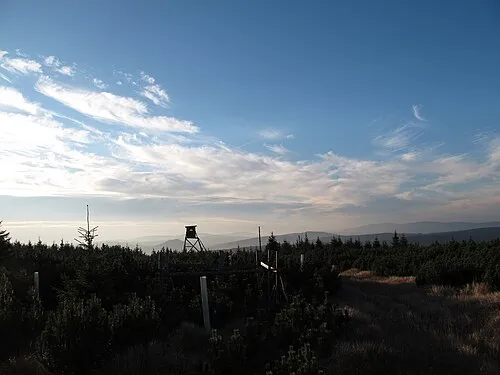
Mrtvý vrch Maoman · Public domain -
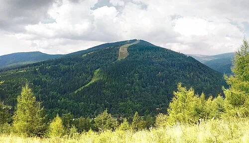
Medvědín Maoman · Public domain


Climate of Zadní Plech
Best months for sightseeingBest months for sightseeing: July–August.
This month · November
A cold month
Day 0° · Night -4° · Rain 44 mm
- Hottest month
- August (day 16°)
- Coldest month
- January (night -9°)
- Wettest month
- July (87 mm)
- Driest month
- February (33 mm)
Bars: average monthly low and high temperature. Below: precipitation. Monthly averages for 1970–2000 at about 18 km resolution, adjusted for elevation. Highlighted months are mild and relatively dry. Source: WorldClim 2.1 (CC BY 4.0).
Show values as a table
| Month | Jan | Feb | Mar | Apr | May | Jun | Jul | Aug | Sep | Oct | Nov | Dec |
|---|---|---|---|---|---|---|---|---|---|---|---|---|
| Average high (°C) | -5° | -3° | 1° | 6° | 12° | 14° | 16° | 16° | 12° | 7° | 0° | -4° |
| Average low (°C) | -9° | -9° | -6° | -2° | 2° | 5° | 7° | 7° | 4° | 0° | -4° | -8° |
| Precipitation (mm) | 37 | 33 | 39 | 49 | 68 | 82 | 87 | 81 | 52 | 44 | 44 | 46 |
How to get to Zadní Plech
The nearest airport is Pardubice Airport (PED), 84 km to the south as the crow flies. The nearest large city is Prague, 106 km to the southwest.
Airports
- Pardubice Airport (PED) Pardubice 84 kmsouth
- Copernicus Wrocław Airport (WRO) Wrocław 105 kmeast
- Václav Havel Airport Prague (PRG) Prague 114 kmsouthwest
Nearby large cities
- Prague Population: 1.2M 106 kmsouthwest
- Dresden Population: 564.9K 128 kmwest
- Chemnitz Population: 247.2K 181 kmwest
- Brno Population: 404.3K 191 kmsoutheast
- Leipzig Population: 505K 228 kmwest
Straight-line distances; road distances are longer. Airport data: OurAirports.
Day trips from Zadní Plech
Within 100 km: 99 historic and cultural sites, 790 natural sites, 42 lakes, rivers and coasts.
0–25 km75 places
- Tvarožník Mountain 3 kmNE
- Jastrzębiec Mountain 13 kmN
- Wysoka Kopa Mountain 11 kmNW
- Szrenica Mountain 4 kmN
25–60 km265 places
- Lysá Mountain 54 kmSW
- Bielec Mountain 32 kmE
- Zigeunerberg Mountain 52 kmW
- Weißberg Mountain 55 kmNW
60–100 km591 places
- Hořidla Mountain 90 kmW
- Vosí vrch Mountain 78 kmW
- Taubenteich Lake 97 kmW
- Schlossteich Lake 92 kmNW
Straight-line distances.
Nearest towns and villages
-
Ryžoviště Village, Harrachov3.2 km W
-
Harrachov Village, Harrachov4.6 km W
-
Rokytnice nad Jizerou Municipality, Semily District2.1 km SW
-
Rokytnice nad Jizerou Village, Rokytnice nad Jizerou5.4 km SW
-
Bratrouchov Village, Jablonec nad Jizerou6.1 km S
-
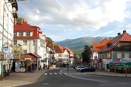 Szklarska Poręba Town, Szklarska Poręba7.9 km N
Nearby attractions & nature
Everything nearby-
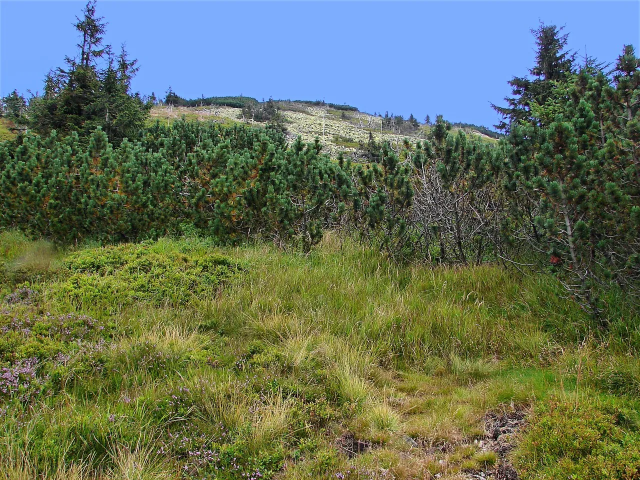 Lysá hora Mountain, Rokytnice nad Jizerou1.3 km E
-
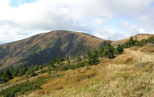 Kotel Mountain, Vítkovice2.7 km E
-
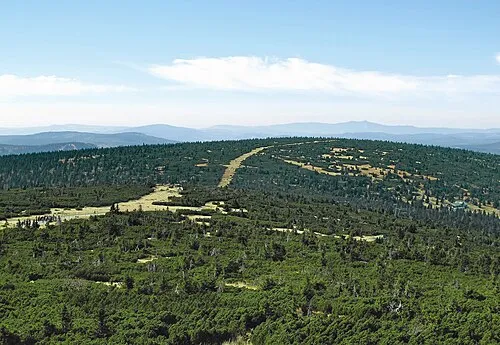 Luboch Mountain, Harrachov3.5 km N
-
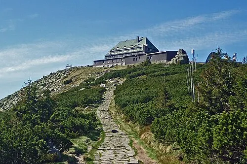 Szrenica Mountain, Szklarska Poręba4.1 km N
-
Tvarožník Mountain, Poland3.5 km NE
-
Łabski Szczyt Mountain, Piechowice4.5 km NE
-
Czarcia Ambona Mountain, Poland5.1 km NE
-
Mrtvý vrch Mountain, Harrachov6.2 km NW
Sources & licences
Data last updated: · 2 independent sources