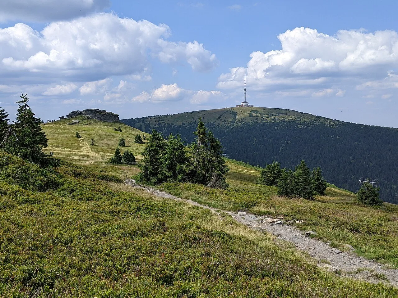
- Elevation
- 1,491 m
- above sea level
- Local time
- UTC+01:00
- Europe/Prague · UTC+01:00
- Airports
- OSR Leoš Janáček Airport Ostrava77 km
- PED Pardubice Airport107 km
About Praděd
Praděd is a mountain. Location: Malá Morávka, Bruntál District. Elevation: 1,491 m.
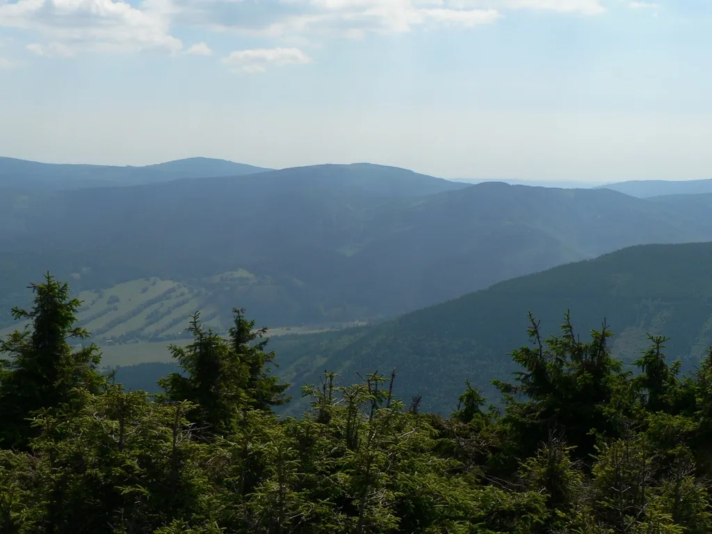
Praděd (Czech pronunciation: [ˈpraɟɛt]; German: Altvater) is a mountain in the Hrubý Jeseník range in the Czech Republic. At 1,491 metres (4,892 ft) above sea level, it is the highest mountain of Hrubý Jeseník and the fifth-highest mountain of the Czech Republic. It is also the highest peak of the historical regions of Moravia, Czech Silesia and Upper Silesia. The highest point of Moravia is located near the summit of Praděd; but the summit itself is in Czech Silesia.
Source: Wikipedia · CC BY-SA 4.0
At a glance
- Topographic prominence
- 983 m
Source: Wikidata
Photos of Praděd
-

Vašek Vinklát · CC BY 2.0 -

Vladimír Burda · CC BY 3.0 -

Vojtasekd · CC BY 4.0 -

Bronislav Valenta · CC BY 3.0 -

Mikkk2905 · CC BY-SA 4.0


Climate of Praděd
This month · November
A cold month
Day -1° · Night -6° · Rain 50 mm
- Hottest month
- July (day 14°)
- Coldest month
- January (night -10°)
- Wettest month
- August (114 mm)
- Driest month
- March (37 mm)
Bars: average monthly low and high temperature. Below: precipitation. Monthly averages for 1970–2000 at about 18 km resolution, adjusted for elevation. Highlighted months are mild and relatively dry. Source: WorldClim 2.1 (CC BY 4.0).
Show values as a table
| Month | Jan | Feb | Mar | Apr | May | Jun | Jul | Aug | Sep | Oct | Nov | Dec |
|---|---|---|---|---|---|---|---|---|---|---|---|---|
| Average high (°C) | -5° | -5° | -1° | 3° | 9° | 12° | 14° | 14° | 9° | 5° | -1° | -4° |
| Average low (°C) | -10° | -10° | -7° | -4° | 1° | 4° | 5° | 5° | 2° | -1° | -6° | -9° |
| Precipitation (mm) | 46 | 41 | 37 | 49 | 80 | 112 | 99 | 114 | 69 | 52 | 50 | 59 |
How to get to Praděd
The nearest airport is Leoš Janáček Airport Ostrava (OSR), 77 km to the southeast as the crow flies. The nearest large city is Brno, 109 km to the southwest.
Airports
- Leoš Janáček Airport Ostrava (OSR) Mošnov 77 kmsoutheast
- Pardubice Airport (PED) Pardubice 107 kmwest
- Brno-Tuřany Airport (BRQ) Brno 111 kmsouth
Nearby large cities
- Brno Population: 404.3K 109 kmsouthwest
- Prague Population: 1.2M 201 kmwest
- Bratislava Population: 423.7K 215 kmsouth
- Győr Population: 129.3K 269 kmsouth
- Dresden Population: 564.9K 270 kmnorthwest
Straight-line distances; road distances are longer. Airport data: OurAirports.
Day trips from Praděd
Within 100 km: 34 historic and cultural sites, 464 natural sites.
0–25 km64 places
- Tylna Kopa Mountain 24 kmN
- Smrek Mountain 22 kmNW
- Postawna Mountain 22 kmNW
- Brusek Mountain 22 kmNW
25–60 km171 places
- Sucha Kopa Mountain 29 kmNW
- Goworek Mountain 32 kmW
- Mały Śnieżnik Mountain 32 kmW
- Ubocze Mountain 57 kmNW
60–100 km263 places
- Křížový Mountain 96 kmSE
- Úsobrnka Natural site 65 kmSW
- Ptak Mountain 76 kmNW
- Kłobuk Mountain 61 kmNW
Straight-line distances.
Nearest towns and villages
-
Karlova Studánka Village, Karlova Studánka5.6 km E
-
Vrbno pod Pradědem Municipality, Bruntál District5 km NE
-
Malá Morávka Village, Malá Morávka9.7 km SE
-
Ludvíkov Village, Ludvíkov8.3 km E
-
Karlova Studánka Municipality, Bruntál District5.7 km E
-
Bělá pod Pradědem Village, Bělá pod Pradědem9.3 km N
Nearby attractions & nature
Everything nearby-
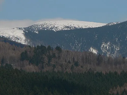 Vysoká hole Mountain, Malá Morávka2.8 km S
-
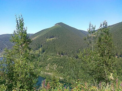 Medvědí hřbet Mountain, Loučná nad Desnou2.8 km W
-
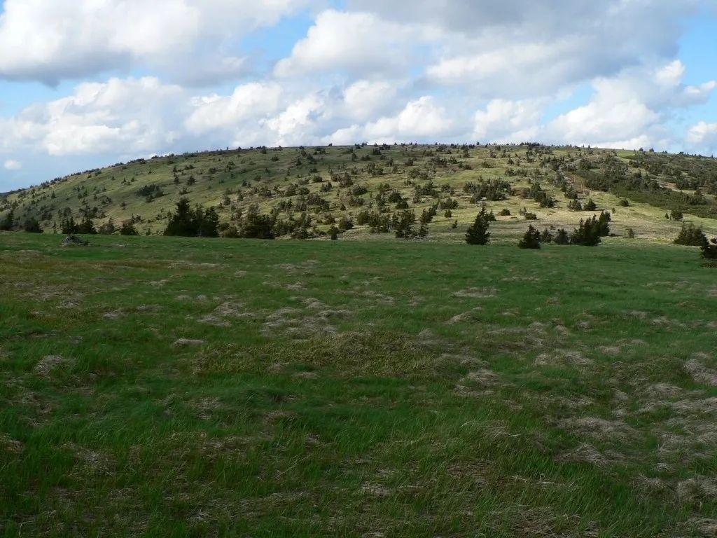 Velký Máj Mountain, Loučná nad Desnou4.4 km S
-
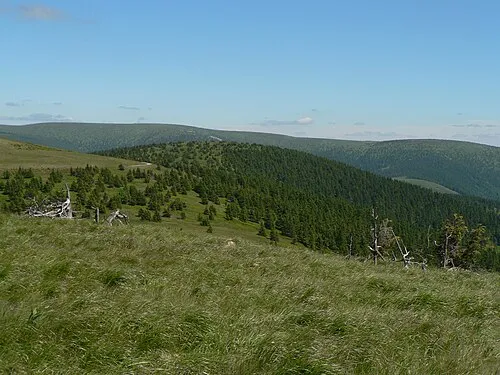 Vřesník Mountain, Vernířovice5 km W
-
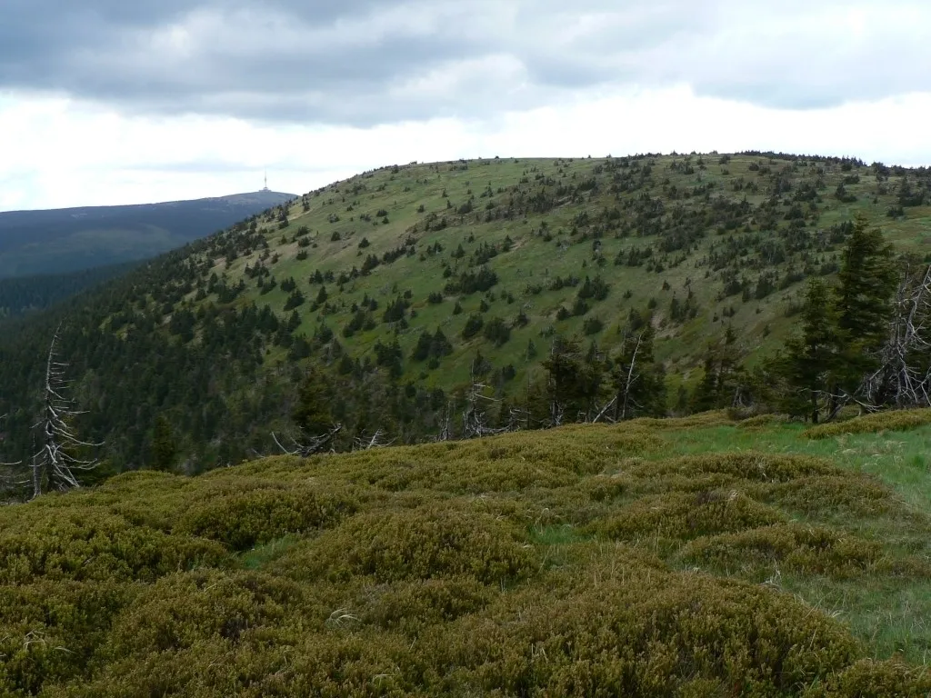 Jelení hŕbet Mountain, Vernířovice5.4 km SW
-
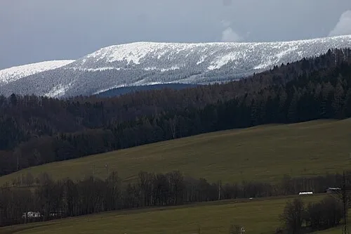 Břidličná hora Mountain, Vernířovice6.4 km SW
-
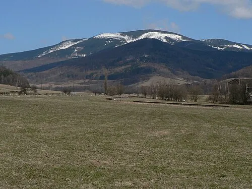 Mravenečník Mountain, Loučná nad Desnou6.3 km W
-
 Jelení loučky Mountain, Vrbno pod Pradědem7.5 km N
Sources & licences
Data last updated: · 2 independent sources