Vrbno pod Pradědem
Located in Bruntál District, Moravian-Silesian Region Coordinates: 50°07′09″ N 17°16′24″ E
- Elevation
- 915 m
- above sea level
- Local time
- UTC+01:00
- Europe/Prague · UTC+01:00
- Places inside
- 4
- listed under Vrbno pod Pradědem
- Airports
- OSR Leoš Janáček Airport Ostrava76 km
- PED Pardubice Airport110 km
About Vrbno pod Pradědem
Vrbno pod Pradědem is a municipality. Location: Bruntál District, Moravian-Silesian Region. Elevation: 915 m. The best months to visit are July–August. The nearest airport is Leoš Janáček Airport Ostrava (76 km). Nearby sights include Praděd and Orlík.
Photos of Vrbno pod Pradědem
-
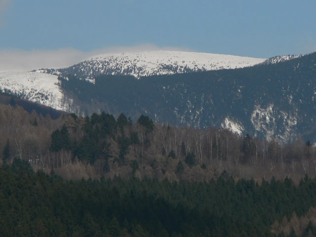
Vysoká hole Martin Vavřík · Public domain -
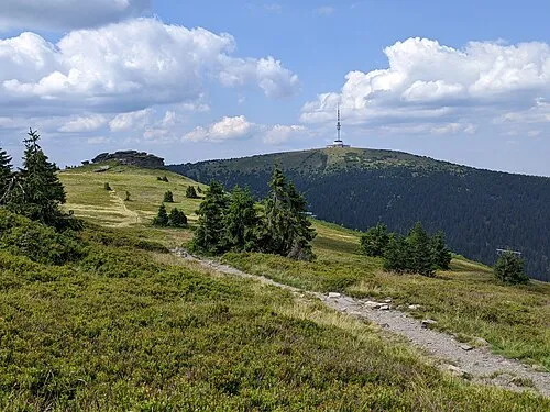
Praděd MartinVeselka · CC BY-SA 4.0 -
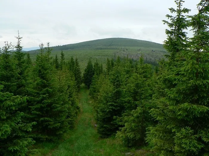
Orlík Vavrik · Public domain -
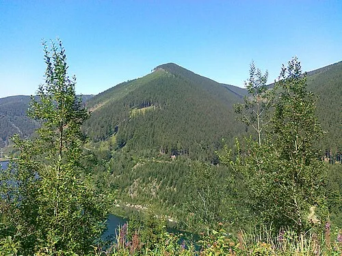
Medvědí hřbet RadLes · CC BY-SA 4.0 -
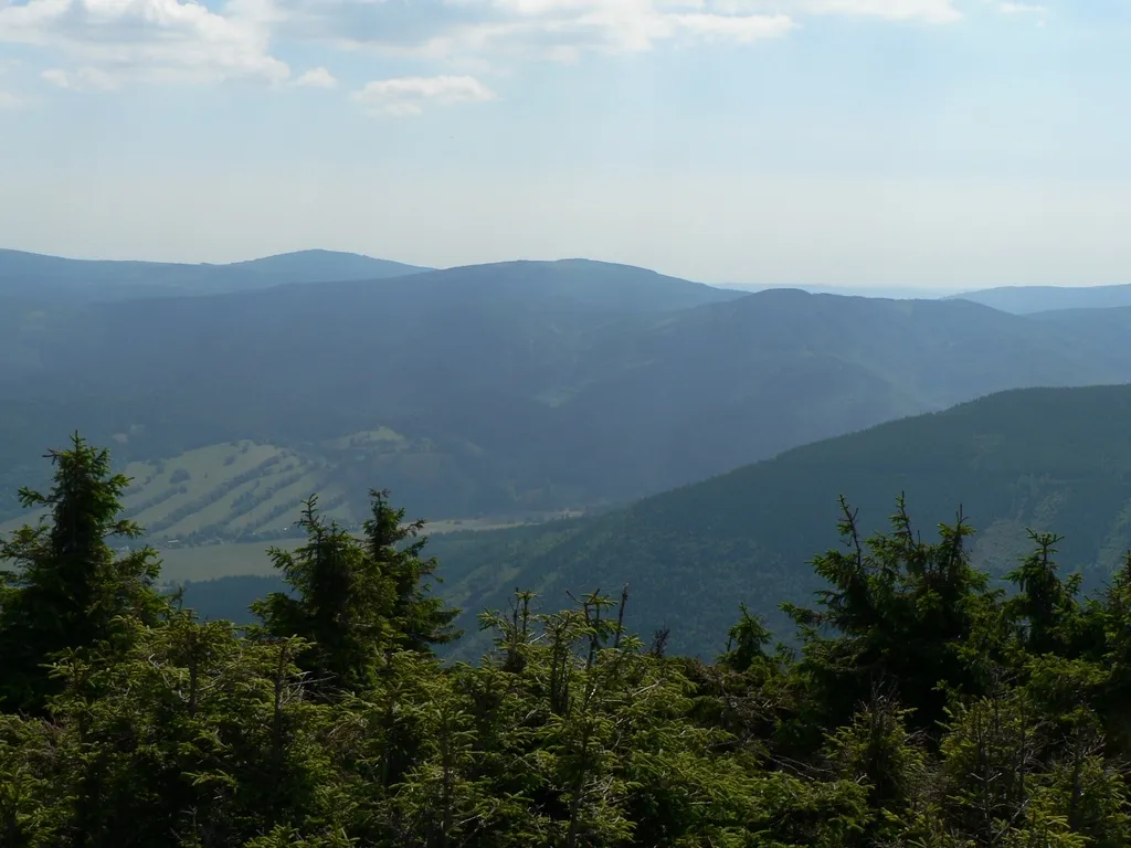
Jelení loučky Martin Vavřík · Public domain


Climate of Vrbno pod Pradědem
Best months for sightseeingBest months for sightseeing: July–August.
This month · November
A cold month
Day 2° · Night -2° · Rain 50 mm
- Hottest month
- July (day 18°)
- Coldest month
- January (night -6°)
- Wettest month
- August (114 mm)
- Driest month
- March (37 mm)
Bars: average monthly low and high temperature. Below: precipitation. Monthly averages for 1970–2000 at about 18 km resolution, adjusted for elevation. Highlighted months are mild and relatively dry. Source: WorldClim 2.1 (CC BY 4.0).
Show values as a table
| Month | Jan | Feb | Mar | Apr | May | Jun | Jul | Aug | Sep | Oct | Nov | Dec |
|---|---|---|---|---|---|---|---|---|---|---|---|---|
| Average high (°C) | -2° | -1° | 2° | 7° | 13° | 16° | 18° | 17° | 13° | 8° | 2° | -1° |
| Average low (°C) | -6° | -6° | -4° | -1° | 5° | 7° | 9° | 9° | 6° | 2° | -2° | -5° |
| Precipitation (mm) | 46 | 41 | 37 | 49 | 80 | 112 | 99 | 114 | 69 | 52 | 50 | 59 |
How to get to Vrbno pod Pradědem
The nearest airport is Leoš Janáček Airport Ostrava (OSR), 76 km to the southeast as the crow flies. The nearest large city is Brno, 113 km to the southwest.
Airports
- Leoš Janáček Airport Ostrava (OSR) Mošnov 76 kmsoutheast
- Pardubice Airport (PED) Pardubice 110 kmwest
- Copernicus Wrocław Airport (WRO) Wrocław 113 kmnorth
Nearby large cities
- Brno Population: 404.3K 113 kmsouthwest
- Prague Population: 1.2M 204 kmwest
- Bratislava Population: 423.7K 220 kmsouth
- Dresden Population: 564.9K 271 kmnorthwest
- Győr Population: 129.3K 272 kmsouth
Straight-line distances; road distances are longer. Airport data: OurAirports.
Day trips from Vrbno pod Pradědem
Within 100 km: 33 historic and cultural sites, 443 natural sites.
0–25 km65 places
- Tylna Kopa Mountain 19 kmN
- Olszak Mountain 23 kmNE
- Kowadło Mountain 25 kmNW
- Pasieczna Mountain 25 kmNW
25–60 km166 places
- Sucha Kopa Mountain 29 kmNW
- Goworek Mountain 34 kmW
- Mały Śnieżnik Mountain 34 kmW
- Ubocze Mountain 59 kmW
60–100 km245 places
- Křížový Mountain 98 kmSE
- Úsobrnka Natural site 70 kmSW
- Ptak Mountain 76 kmNW
- Kłobuk Mountain 62 kmW
Straight-line distances.
Places in Vrbno pod Pradědem
4 placesVrbno pod Pradědem
Population: 4.6K

Mnichov
Population: 2.3K

Železná
Population: 793
-
Nearby attractions & nature
Everything nearby-
Praděd Mountain, Malá Morávka5 km SW
-
Orlík Mountain, Zlaté Hory6.6 km N
-
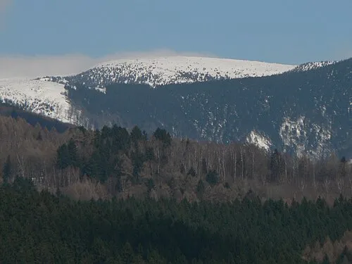 Vysoká hole Mountain, Malá Morávka7.5 km SW
-
Medvědí hřbet Mountain, Loučná nad Desnou6.6 km SW
-
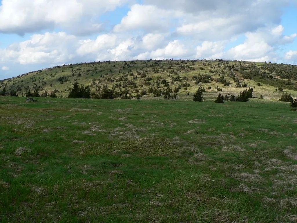 Velký Máj Mountain, Loučná nad Desnou9.3 km SW
-
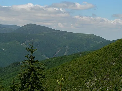 Červená hora Mountain, Loučná nad Desnou10 km W
-
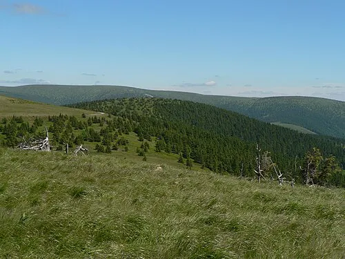 Vřesník Mountain, Vernířovice9.7 km SW
-
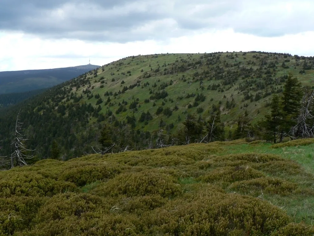 Jelení hŕbet Mountain, Vernířovice10 km SW
Sources & licences
Data last updated: