Červená hora
Located in Loučná nad Desnou, Šumperk District Coordinates: 50°08′40″ N 17°08′12″ E
- Elevation
- 1,337 m
- above sea level
- Local time
- UTC+01:00
- Europe/Prague · UTC+01:00
- Airports
- OSR Leoš Janáček Airport Ostrava86 km
- PED Pardubice Airport101 km
About Červená hora
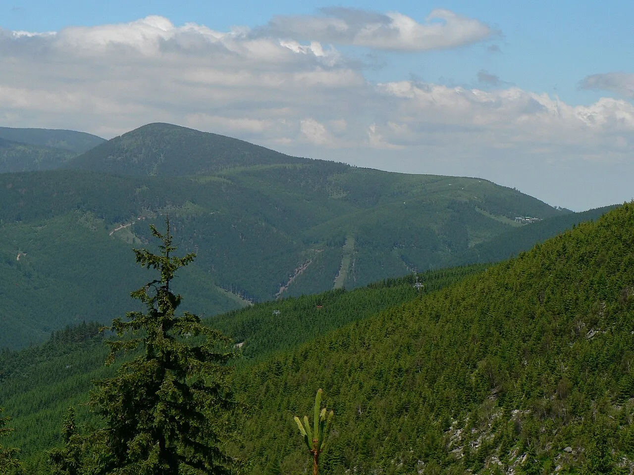
Červená hora is a mountain. Location: Loučná nad Desnou, Šumperk District. Elevation: 1,337 m.
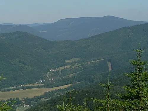
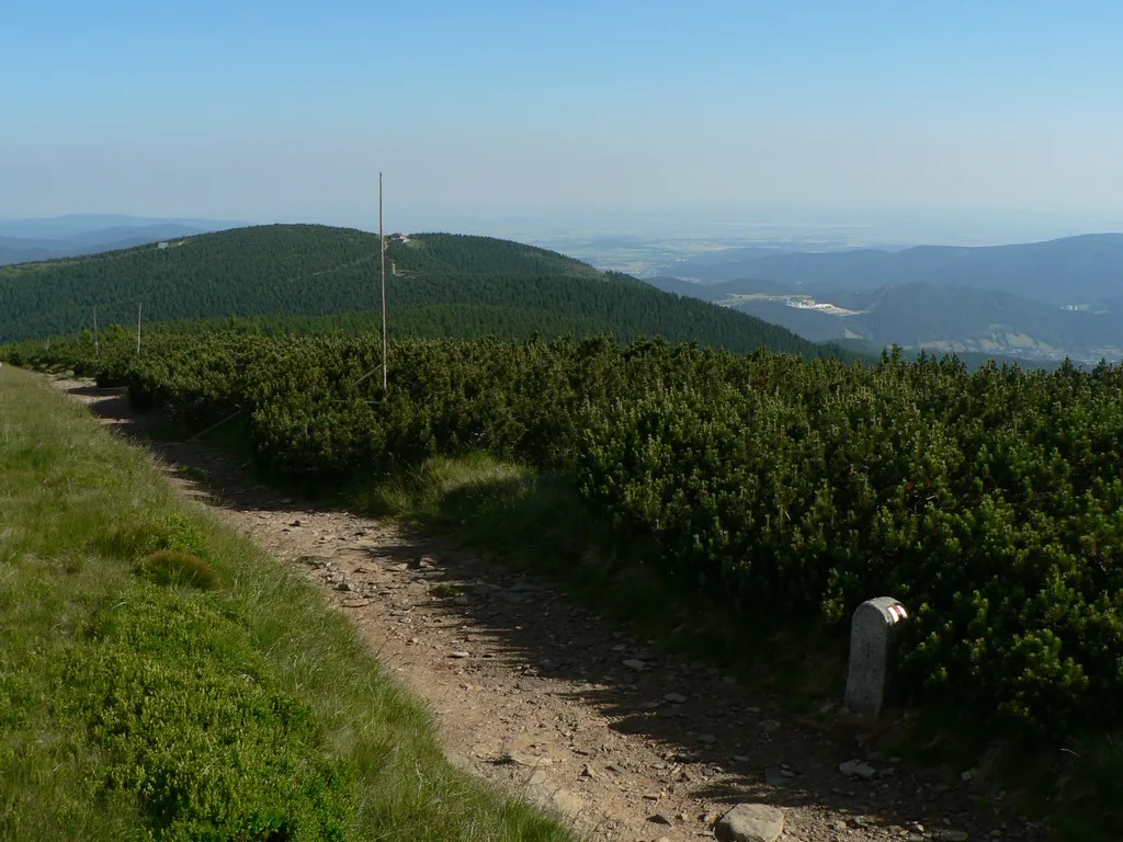
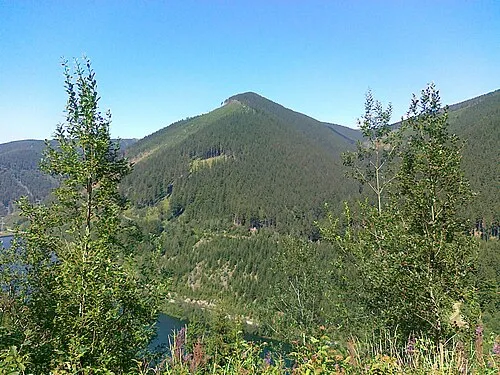
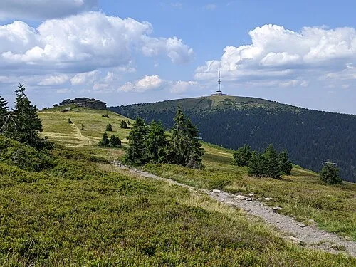
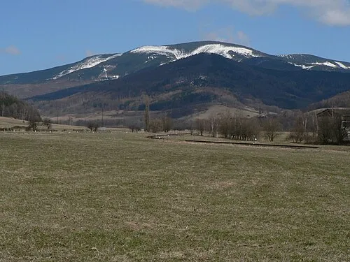
Červená hora (German: Rothe Berg) is a mountain in the Hrubý Jeseník mountain range in the Czech Republic. It has an elevation of 1,333 m (4,373 ft) above sea level. It is located in the municipality of Loučná nad Desnou, on the historical border between Silesia and Moravia.
Source: Wikipedia · CC BY-SA 4.0
At a glance
- Topographic prominence
- 128 m
Source: Wikidata
Photos of Červená hora
-

Fry72 , Karel FRYDRÝŠEK · CC BY-SA 4.0 -

Fry72 , Karel FRYDRÝŠEK · CC BY-SA 4.0 -

Martin Vavrik · Public domain -

GeXeS · CC BY-SA 4.0 -

RadLes · CC BY-SA 4.0


Climate of Červená hora
This month · November
A cold month
Day -1° · Night -6° · Rain 46 mm
- Hottest month
- July (day 15°)
- Coldest month
- January (night -10°)
- Wettest month
- June (104 mm)
- Driest month
- February (34 mm)
Bars: average monthly low and high temperature. Below: precipitation. Monthly averages for 1970–2000 at about 18 km resolution, adjusted for elevation. Highlighted months are mild and relatively dry. Source: WorldClim 2.1 (CC BY 4.0).
Show values as a table
| Month | Jan | Feb | Mar | Apr | May | Jun | Jul | Aug | Sep | Oct | Nov | Dec |
|---|---|---|---|---|---|---|---|---|---|---|---|---|
| Average high (°C) | -5° | -4° | 0° | 5° | 11° | 13° | 15° | 15° | 11° | 6° | -1° | -4° |
| Average low (°C) | -10° | -10° | -7° | -4° | 1° | 4° | 6° | 6° | 3° | -1° | -6° | -9° |
| Precipitation (mm) | 37 | 34 | 35 | 45 | 73 | 104 | 95 | 97 | 61 | 46 | 46 | 47 |
How to get to Červená hora
The nearest airport is Leoš Janáček Airport Ostrava (OSR), 86 km to the southeast as the crow flies. The nearest large city is Brno, 112 km to the south.
Airports
- Leoš Janáček Airport Ostrava (OSR) Mošnov 86 kmsoutheast
- Pardubice Airport (PED) Pardubice 101 kmwest
- Copernicus Wrocław Airport (WRO) Wrocław 108 kmnorth
Nearby large cities
- Brno Population: 404.3K 112 kmsouth
- Prague Population: 1.2M 194 kmwest
- Bratislava Population: 423.7K 222 kmsouth
- Dresden Population: 564.9K 261 kmnorthwest
- Győr Population: 129.3K 276 kmsouth
Straight-line distances; road distances are longer. Airport data: OurAirports.
Day trips from Červená hora
Within 100 km: 40 historic and cultural sites, 473 natural sites.
0–25 km103 places
- Sucha Kopa Mountain 19 kmNW
- Goworek Mountain 24 kmW
- Mały Śnieżnik Mountain 24 kmW
- Stroma Mountain 22 kmNW
25–60 km166 places
- Kłobuk Mountain 52 kmNW
- Leszek Mountain 52 kmNW
- Klimek Mountain 53 kmNW
- Wolarz Mountain 55 kmNW
60–100 km244 places
- Úsobrnka Natural site 68 kmS
- Ptak Mountain 67 kmNW
- Czuba Mountain 99 kmNW
- Włodarz Mountain 80 kmNW
Straight-line distances.
Nearest towns and villages
-
 Rejhotice Village, Loučná nad Desnou7 km SW
-
Bělá pod Pradědem Village, Bělá pod Pradědem4.8 km NE
-
 Bělá Village, Bělá pod Pradědem5.2 km E
-
 Kociánov Village, Loučná nad Desnou7.9 km SW
-
Loučná nad Desnou Village, Loučná nad Desnou8.5 km SW
-
 Ramzová Village, Ostružná7.7 km NW
Nearby attractions & nature
Everything nearby-
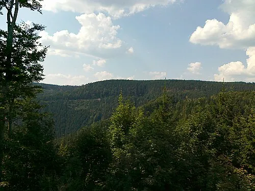 Šindelná hora Mountain, Loučná nad Desnou1.9 km S
-
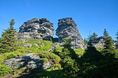 Vozka Mountain, Loučná nad Desnou2.2 km NW
-
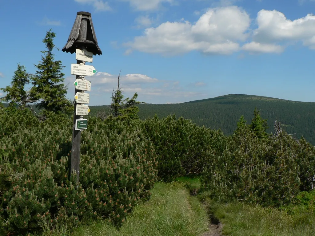 Keprník Mountain, Ostružná3.3 km NW
-
 Černá stráň Mountain, Loučná nad Desnou4.9 km SW
-
 Šerák Mountain, Ostružná5.1 km NW
-
 Medvědí hřbet Mountain, Loučná nad Desnou7.2 km SE
-
 Praděd Mountain, Malá Morávka9.6 km SE
-
 Mravenečník Mountain, Loučná nad Desnou8.1 km S
Sources & licences
Data last updated: · 2 independent sources