Černá stráň
Located in Loučná nad Desnou, Šumperk District Coordinates: 50°07′18″ N 17°04′41″ E
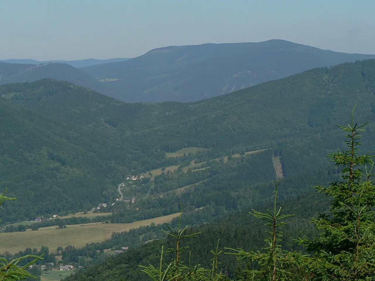
- Elevation
- 1,236 m
- above sea level
- Local time
- UTC+01:00
- Europe/Prague · UTC+01:00
- Airports
- OSR Leoš Janáček Airport Ostrava88 km
- PED Pardubice Airport97 km
About Černá stráň
Černá stráň is a mountain. Location: Loučná nad Desnou, Šumperk District. Elevation: 1,236 m.
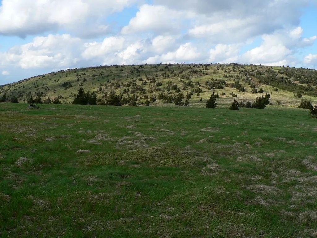
Černá stráň (German: Schwarze Leiten) is a mountain in the Hrubý Jeseník mountain range in the Czech Republic. It has an elevation of 1,237 m (4,058 ft) above sea level. It is located in the municipality of Loučná nad Desnou.
Source: Wikipedia · CC BY-SA 4.0
At a glance
- Topographic prominence
- 212 m
Source: Wikidata
Photos of Černá stráň
-

The photonaut · CC BY-SA 4.0 -

Jan Polák · CC BY-SA 3.0 -

Ben Skála, Benfoto · CC BY-SA 3.0 -

RadLes · CC BY-SA 4.0 -

RadLes · CC BY-SA 4.0


Climate of Černá stráň
This month · November
A cold month
Day 0° · Night -5° · Rain 46 mm
- Hottest month
- July (day 16°)
- Coldest month
- January (night -9°)
- Wettest month
- June (104 mm)
- Driest month
- February (34 mm)
Bars: average monthly low and high temperature. Below: precipitation. Monthly averages for 1970–2000 at about 18 km resolution, adjusted for elevation. Highlighted months are mild and relatively dry. Source: WorldClim 2.1 (CC BY 4.0).
Show values as a table
| Month | Jan | Feb | Mar | Apr | May | Jun | Jul | Aug | Sep | Oct | Nov | Dec |
|---|---|---|---|---|---|---|---|---|---|---|---|---|
| Average high (°C) | -4° | -3° | 0° | 6° | 11° | 14° | 16° | 16° | 11° | 6° | 0° | -3° |
| Average low (°C) | -9° | -9° | -6° | -3° | 2° | 5° | 7° | 6° | 3° | -1° | -5° | -8° |
| Precipitation (mm) | 37 | 34 | 35 | 45 | 73 | 104 | 95 | 97 | 61 | 46 | 46 | 47 |
How to get to Černá stráň
The nearest airport is Leoš Janáček Airport Ostrava (OSR), 88 km to the southeast as the crow flies. The nearest large city is Brno, 108 km to the south.
Airports
- Leoš Janáček Airport Ostrava (OSR) Mošnov 88 kmsoutheast
- Pardubice Airport (PED) Pardubice 97 kmwest
- Copernicus Wrocław Airport (WRO) Wrocław 110 kmnorth
Nearby large cities
- Brno Population: 404.3K 108 kmsouth
- Prague Population: 1.2M 190 kmwest
- Bratislava Population: 423.7K 219 kmsouth
- Dresden Population: 564.9K 258 kmnorthwest
- Győr Population: 129.3K 274 kmsouth
Straight-line distances; road distances are longer. Airport data: OurAirports.
Day trips from Černá stráň
Within 100 km: 40 historic and cultural sites, 489 natural sites.
0–25 km114 places
- Sucha Kopa Mountain 18 kmNW
- Goworek Mountain 21 kmW
- Mały Śnieżnik Mountain 20 kmNW
- Stroma Mountain 20 kmNW
25–60 km166 places
- Kłobuk Mountain 49 kmNW
- Leszek Mountain 52 kmNW
- Klimek Mountain 52 kmNW
- Wolarz Mountain 53 kmNW
60–100 km249 places
- Úsobrnka Natural site 64 kmS
- Ptak Mountain 65 kmNW
- Czuba Mountain 98 kmNW
- Włodarz Mountain 80 kmNW
Straight-line distances.
Nearest towns and villages
-
Loučná nad Desnou Village, Loučná nad Desnou5.3 km S
-
 Rejhotice Village, Loučná nad Desnou3.8 km S
-
Jindřichov Village, Jindřichov6.4 km W
-
Branná Village, Branná5.9 km NW
-
 Kociánov Village, Loučná nad Desnou4.6 km S
-
Jindřichov Municipality, Šumperk District4.2 km W
Nearby attractions & nature
Everything nearby-
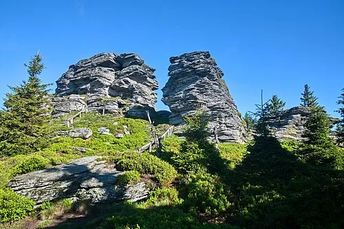 Vozka Mountain, Loučná nad Desnou4.1 km NE
-
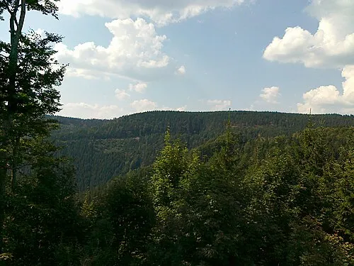 Šindelná hora Mountain, Loučná nad Desnou3.9 km E
-
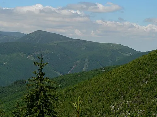 Červená hora Mountain, Loučná nad Desnou4.9 km NE
-
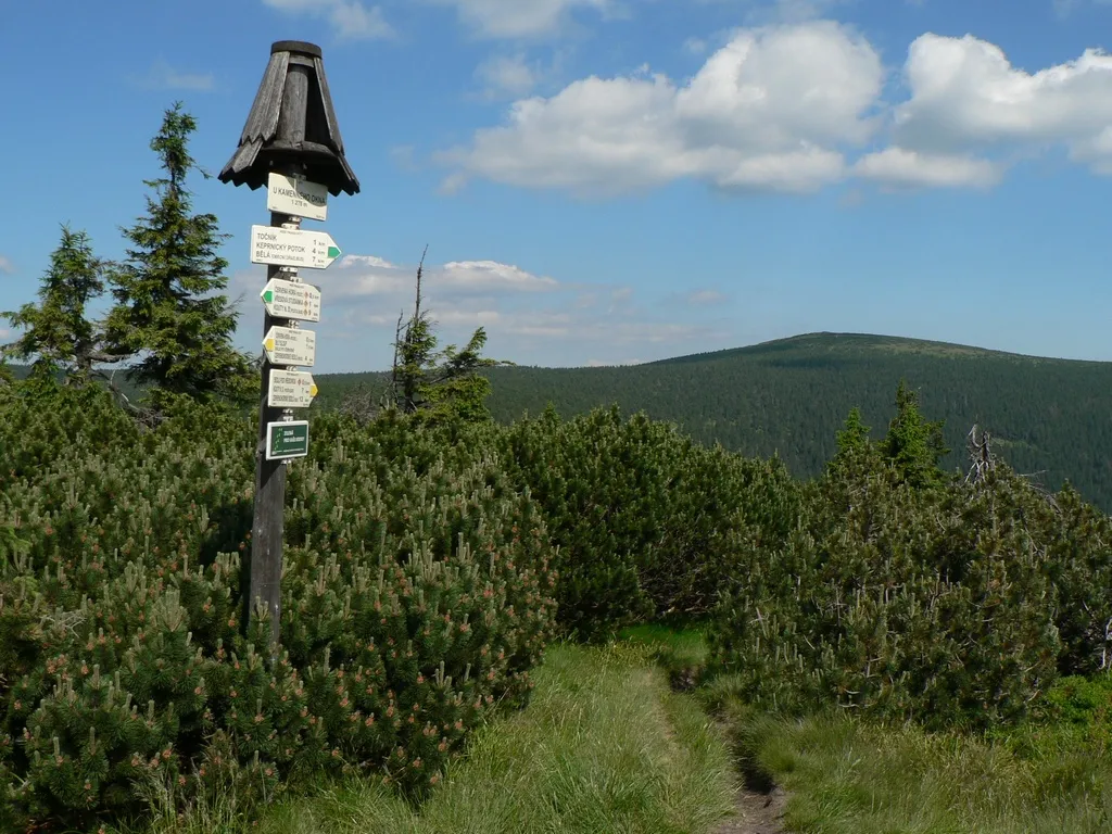 Keprník Mountain, Ostružná6.1 km NE
-
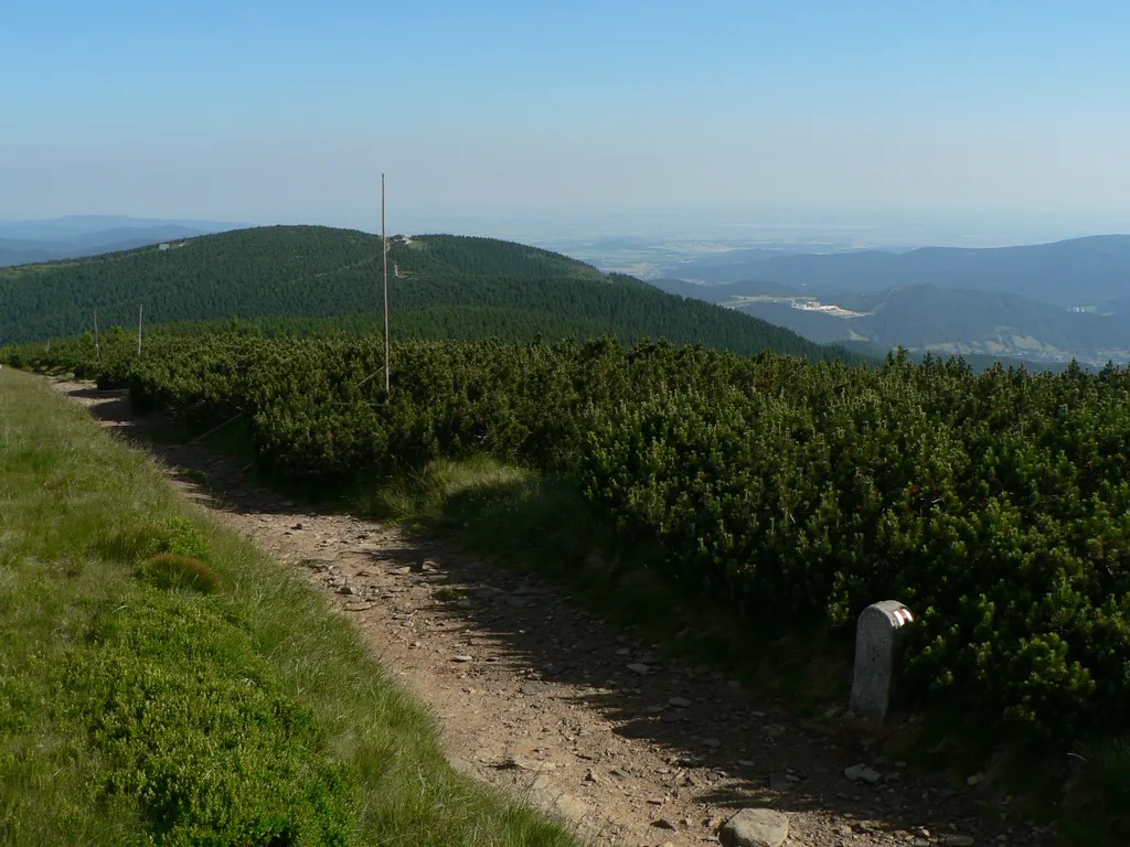 Šerák Mountain, Ostružná7.5 km N
-
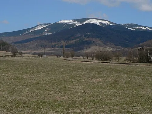 Mravenečník Mountain, Loučná nad Desnou7.3 km SE
-
Vikantický vrch Mountain, Jindřichov7.6 km W
-
Rudná hora Mountain, Vernířovice8.4 km S
More nature in Czechia
-
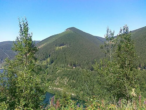 Medvědí hřbet Mountain, Loučná nad Desnou8.9 km SE
-
 Velký Máj Mountain, Loučná nad Desnou13 km SE
Sources & licences
Data last updated: · 2 independent sources