Rakov
Located in Přerov District, Olomouc Region Coordinates: 49°29′26″ N 17°42′32″ E
- Elevation
- 327 m
- above sea level
- Local time
- UTC+01:00
- Europe/Prague · UTC+01:00
- Places inside
- 1
- listed under Rakov
About Rakov
Rakov is a municipality. Location: Přerov District, Olomouc Region. Elevation: 327 m.
In comparison
Airports nearest to Rakov
- Leoš Janáček Airport Ostrava (OSR) Mošnov 37 km
- Brno-Tuřany Airport (BRQ) Brno 83 km
- Sliač Airport (SLD) Sliač 141 km
Straight-line distance; airports with scheduled flights only. Source: OurAirports (public domain).
Places in Rakov
1 place-
Rakov Village394
Nearby attractions & nature
Everything nearby-
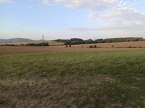 Nad Doly [Hranice-Slavíč] Mountain, Hranice8.1 km NW
-
Čerňava [Chvalčov] Mountain, Chvalčov13 km S
-
Kuželek [Loučka-Lázy] Mountain, Mikulůvka14 km SE
-
Bludný Mountain, Rajnochovice16 km SE
-
Lysina [Holešov-Žopy] Mountain, Holešov17 km S
-
Jaroňová Mountain, Hošťálková17 km SE
-
Humenec Mountain, Hošťálková21 km SE
-
Křížový Mountain, Ratiboř23 km SE
Sources & licences
Data last updated: