Dolní Nětčice
Located in Přerov District, Olomouc Region Coordinates: 49°28′35″ N 17°40′29″ E
- Elevation
- 268 m
- above sea level
- Local time
- UTC+01:00
- Europe/Prague · UTC+01:00
- Places inside
- 1
- listed under Dolní Nětčice
- Airports
- OSR Leoš Janáček Airport Ostrava40 km
- BRQ Brno-Tuřany Airport80 km
About Dolní Nětčice
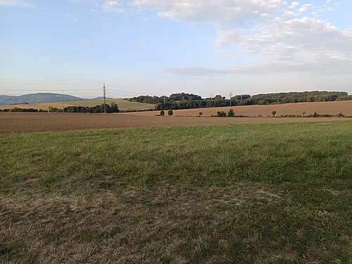
Dolní Nětčice is a municipality. Location: Přerov District, Olomouc Region. Elevation: 268 m. The best months to visit are June–September. The nearest airport is Leoš Janáček Airport Ostrava (40 km). Nearby sights include Nad Doly [Hranice-Slavíč] and Čerňava [Chvalčov].
Climate of Dolní Nětčice
Best months for sightseeingBest months for sightseeing: June–September.
This month · November
A cold month
Day 6° · Night 1° · Rain 50 mm
- Hottest month
- July (day 24°)
- Coldest month
- January (night -4°)
- Wettest month
- June (102 mm)
- Driest month
- January (33 mm)
Bars: average monthly low and high temperature. Below: precipitation. Monthly averages for 1970–2000 at about 18 km resolution, adjusted for elevation. Highlighted months are mild and relatively dry. Source: WorldClim 2.1 (CC BY 4.0).
Show values as a table
| Month | Jan | Feb | Mar | Apr | May | Jun | Jul | Aug | Sep | Oct | Nov | Dec |
|---|---|---|---|---|---|---|---|---|---|---|---|---|
| Average high (°C) | 1° | 3° | 8° | 13° | 19° | 22° | 24° | 23° | 19° | 13° | 6° | 3° |
| Average low (°C) | -4° | -4° | 0° | 3° | 8° | 11° | 13° | 12° | 9° | 5° | 1° | -2° |
| Precipitation (mm) | 33 | 34 | 35 | 49 | 79 | 102 | 91 | 89 | 64 | 45 | 50 | 46 |
Other places to visit in this season: June July August September
How to get to Dolní Nětčice
The nearest airport is Leoš Janáček Airport Ostrava (OSR), 40 km to the northeast as the crow flies. The nearest large city is Brno, 84 km to the west.
Airports
- Leoš Janáček Airport Ostrava (OSR) Mošnov 40 kmnortheast
- Brno-Tuřany Airport (BRQ) Brno 80 kmsouthwest
- Sliač Airport (SLD) Sliač 142 kmsoutheast
Nearby large cities
- Brno Population: 404.3K 84 kmwest
- Győr Population: 129.3K 199 kmsouth
- Prague Population: 1.2M 244 kmwest
- Székesfehérvár Population: 101.6K 260 kmsouth
- Miskolc Population: 154.5K 274 kmsoutheast
Straight-line distances; road distances are longer. Airport data: OurAirports.
Places in Dolní Nětčice
1 placeBar: population relative to the most populous place in this list.
Nearby attractions & nature
Everything nearby-
 Nad Doly [Hranice-Slavíč] Mountain, Hranice8.6 km N
-
Čerňava [Chvalčov] Mountain, Chvalčov13 km SE
-
Lysina [Holešov-Žopy] Mountain, Holešov15 km S
-
Kuželek [Loučka-Lázy] Mountain, Mikulůvka16 km SE
-
Bludný Mountain, Rajnochovice16 km SE
-
Jaroňová Mountain, Hošťálková17 km SE
-
Ubřezí Mountain, Radvanice14 km W
-
Humenec Mountain, Hošťálková21 km SE
Sources & licences
Data last updated: