- Population
- 55,625
- 55.6K
- Elevation
- 413 m
- above sea level
- Local time
- UTC+01:00
- Europe/Prague · UTC+01:00
- Places inside
- 85
- listed under Domažlice District
- Airports
- KLV Karlovy Vary Airport78 km
- PRG Václav Havel Airport Prague118 km
About Domažlice District
Domažlice District is a district. Location: Plzeň Region, Czechia. Population: 55,625. The best months to visit are June–August. The nearest airport is Karlovy Vary Airport (78 km). Nearby sights include Racovský vrch and Chlum.
Photos of Domažlice District
-
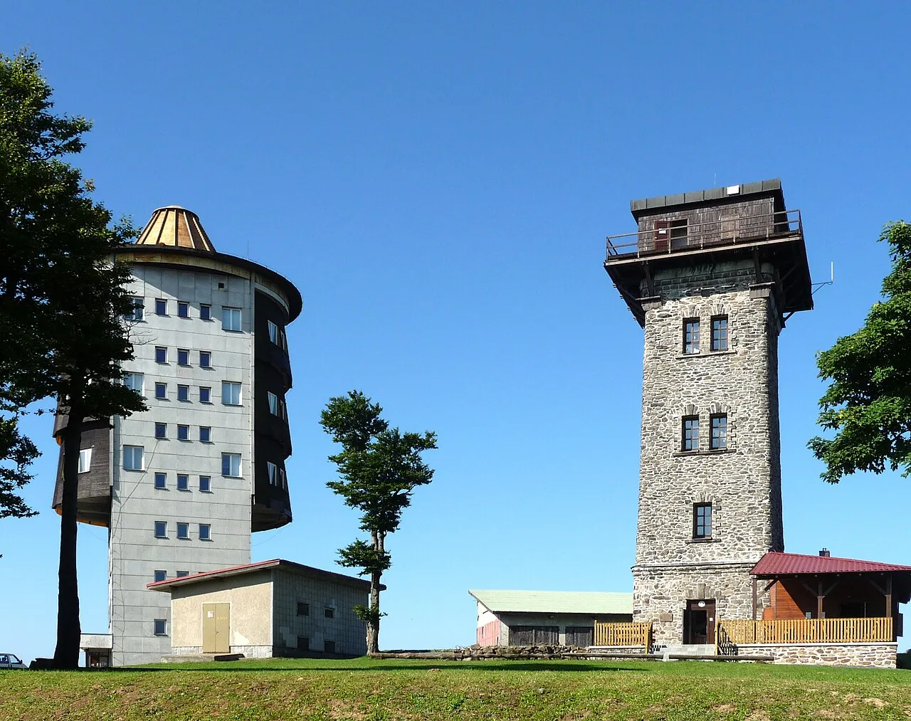
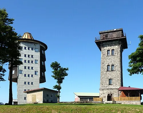
Čerchov Cerchov.JPG : Schmid Marco, Thanried - Stamsried. The original uploader was Schmid.Marco at German Wikipedia . derivativ · CC BY-SA 3.0 de -
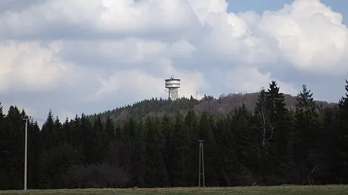
Velký zvon Allexkoch · CC BY-SA 4.0 -
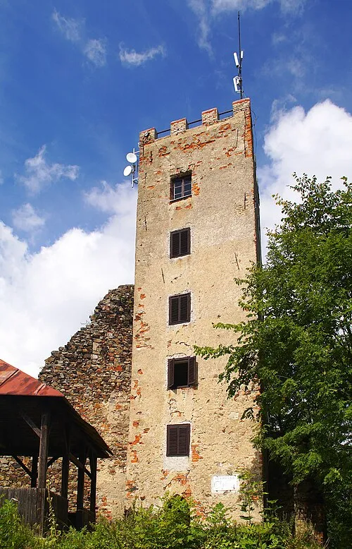
Ryzmberk Stanislav Dusík · CC BY-SA 4.0 -
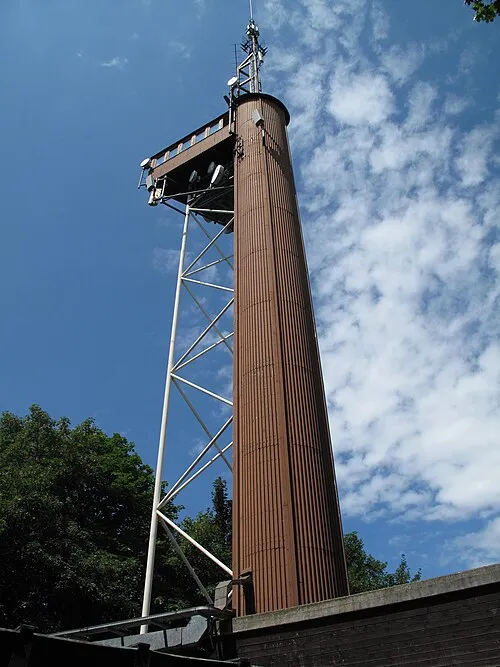
Korab Dezidor · CC BY 3.0 -
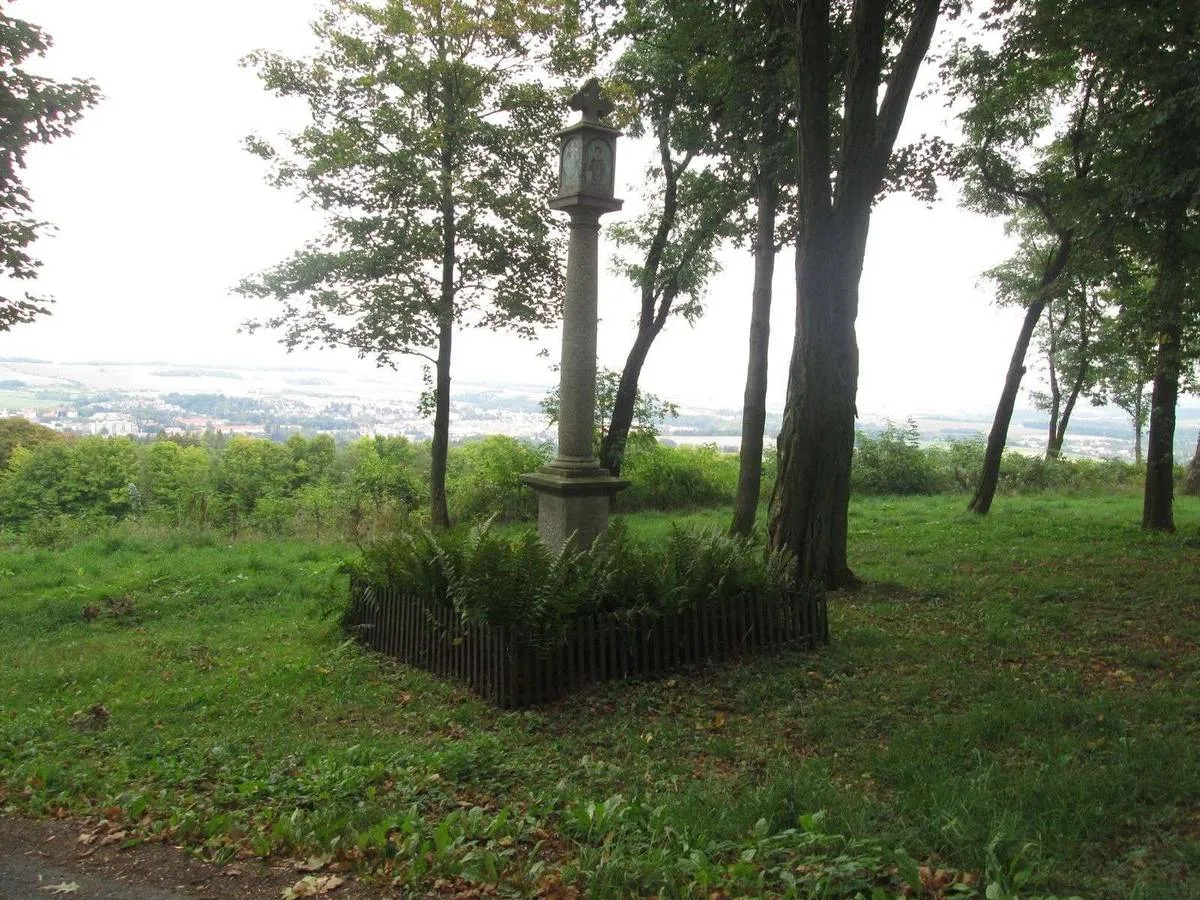
Vesela hora admin · CC0


Climate of Domažlice District
Best months for sightseeingBest months for sightseeing: June–August.
This month · November
A cold month
Day 6° · Night 0° · Rain 55 mm
- Hottest month
- July (day 23°)
- Coldest month
- February (night -4°)
- Wettest month
- July (101 mm)
- Driest month
- April (47 mm)
Bars: average monthly low and high temperature. Below: precipitation. Monthly averages for 1970–2000 at about 18 km resolution, adjusted for elevation. Highlighted months are mild and relatively dry. Source: WorldClim 2.1 (CC BY 4.0).
Show values as a table
| Month | Jan | Feb | Mar | Apr | May | Jun | Jul | Aug | Sep | Oct | Nov | Dec |
|---|---|---|---|---|---|---|---|---|---|---|---|---|
| Average high (°C) | 2° | 3° | 7° | 12° | 18° | 21° | 23° | 22° | 18° | 12° | 6° | 2° |
| Average low (°C) | -4° | -4° | -1° | 2° | 7° | 10° | 11° | 11° | 8° | 4° | 0° | -3° |
| Precipitation (mm) | 58 | 48 | 54 | 47 | 67 | 88 | 101 | 82 | 64 | 61 | 55 | 69 |
How to get to Domažlice District
The nearest airport is Karlovy Vary Airport (KLV), 78 km to the north as the crow flies. The nearest large city is Regensburg, 80 km to the southwest.
Airports
- Karlovy Vary Airport (KLV) Karlovy Vary 78 kmnorth
- Václav Havel Airport Prague (PRG) Prague 118 kmnortheast
- České Budějovice South Bohemian Airport (JCL) České Budějovice 126 kmsoutheast
Nearby large cities
- Regensburg Population: 151.4K 80 kmsouthwest
- Prague Population: 1.2M 127 kmnortheast
- Nuremberg Population: 515.5K 133 kmwest
- Ingolstadt Population: 120.7K 136 kmsouthwest
- Erlangen Population: 102.7K 139 kmwest
Straight-line distances; road distances are longer. Airport data: OurAirports.
Day trips from Domažlice District
Within 100 km: 151 historic and cultural sites, 1,527 natural sites, 309 lakes, rivers and coasts.
0–25 km84 places
- Drachensee Lake 21 kmS
- Innerer Hahnenberg Mountain 23 kmS
- Haidberg Mountain 22 kmSW
- Dieberg Mountain 20 kmS
25–60 km526 places
- Biber-Revier River 34 kmS
- Bohemian Forest Mountain 56 kmS
- Český Les Mountain 35 kmNW
- Thundorfer Weiher Lake 55 kmW
60–100 km1,377 places
- Stoličná Mountain 95 kmN
- Pláň Mountain 96 kmN
- Isar River 78 kmS
- Svatý Prokop Landmark 84 kmN
Straight-line distances.
Places in Domažlice District
85 placesCities & villages25
- Poděvousy · Municipality
- Postřekov · Municipality
- Puclice · Municipality
- Rybník · Municipality
- Semněvice · Municipality
- Spáňov · Municipality
- Srbice · Municipality
- Srby · Municipality
- Staňkov · Municipality
- Štichov · Municipality
- Stráž · Municipality
- Tlumačov · Municipality
- Trhanov · Municipality
- Úboč · Municipality
- Újezd · Municipality
- Únějovice · Municipality
- Úsilov · Municipality
- Velký Malahov · Municipality
- Vidice · Municipality
- Vlkanov · Municipality
- Všekary · Municipality
- Všepadly · Municipality
- Všeruby · Municipality
- Zahořany · Municipality
- Ždánov · Municipality
Nature and heritage in Domažlice District
Nearby attractions & nature
Everything nearby-
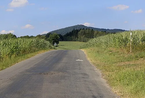
Racovský vrch Mountain, Staré Sedlo14 km N
-
Chlum Mountain, Staré Sedlo15 km N
-
Sedmihoří Mountain, Staré Sedlo15 km N
-
Hůrka Mountain, Stráž16 km NW
-
Galgenberg Mountain, Waldmünchen18 km SW
-
Kamenný vrch [Třemešné-Bezděkov] Mountain, Třemešné22 km NW
Sources & licences
Data last updated: