Hamry
Located in Klatovy District, Plzeň Region Coordinates: 49°13′26″ N 13°08′20″ E
- Elevation
- 875 m
- above sea level
- Local time
- UTC+01:00
- Europe/Prague · UTC+01:00
- Places inside
- 1
- listed under Hamry
About Hamry
Hamry is a municipality. Location: Klatovy District, Plzeň Region. Elevation: 875 m.
In comparison
- Nearest larger town: Lohberg, 6 km SW
- 23 sights and natural places within 10 km Lovečná, Jägerhübel
Places in Hamry
1 place-
Lovečná Mountain
Nearby attractions & nature
Everything nearby-
Jägerhübel Mountain, Germany1.8 km SW
-
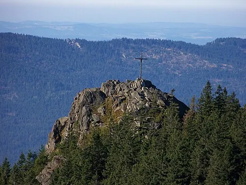 Kleiner Osser Mountain, Lam, Markt3.5 km SW
-
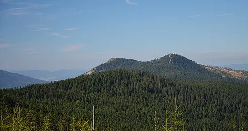 Osser Mountain, Lam, Markt3.1 km SW
-
Bohemian Forest Mountain, Czechia2.5 km NW
-
Helm Wald Natural site, Bavaria3.9 km W
-
Lohberger Wald Natural site, Bavaria4 km S
-
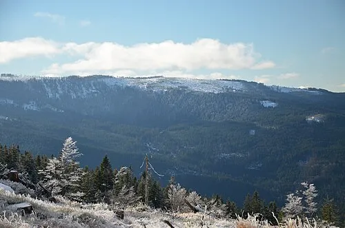 Zwercheck Mountain, Plzeň Region5.9 km S
-
Velký Kokrháč [Hamry na Šumavě] Mountain, Cham4.2 km S
Sources & licences
Data last updated: