Ohníč
Located in Teplice District, Ústí nad Labem Region Coordinates: 50°35′44″ N 13°50′09″ E
- Elevation
- 316 m
- above sea level
- Local time
- UTC+01:00
- Europe/Prague · UTC+01:00
- Places inside
- 1
- listed under Ohníč
About Ohníč
Ohníč is a municipality. Location: Teplice District, Ústí nad Labem Region. Elevation: 316 m.
In comparison
- Nearest larger town: Ohníč, 1 km SE
- 10 sights and natural places within 10 km Ve Chvojkach, Hertine Concentration Camp
Places in Ohníč
1 place-
Ohníč Village704
Nearby attractions & nature
Everything nearby-
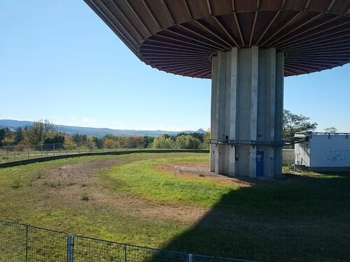 Ve Chvojkach Mountain, Teplice3 km N
-
Hertine Concentration Camp Historic site, Rtyně nad Bílinou3.9 km E
-
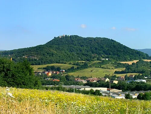 Teplitzer Schlossberg Mountain, Teplice5.1 km N
-
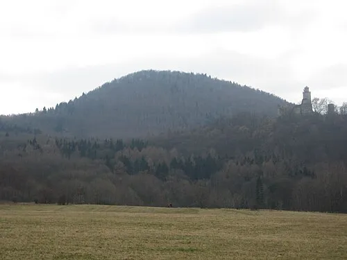 Pařez Mountain, Kostomlaty pod Milešovkou6.2 km SE
-
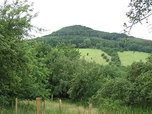 Zvon Mountain, Žalany6.2 km SE
-
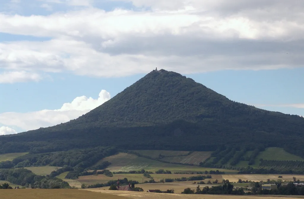 Milešovka Mountain, Velemín8.1 km SE
-
Lehmbach Natural site, Saxony6.5 km N
-
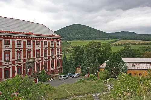 Kloc Mountain, Velemín8.4 km SE
Sources & licences
Data last updated: