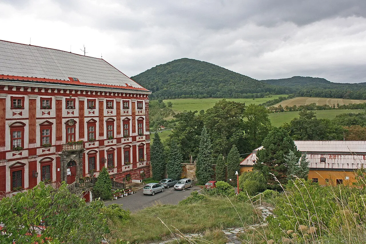
- Elevation
- 674 m
- above sea level
- Local time
- UTC+01:00
- Europe/Prague · UTC+01:00
- Airports
- PRG Václav Havel Airport Prague55 km
- DRS Dresden Airport67 km
About Kloc
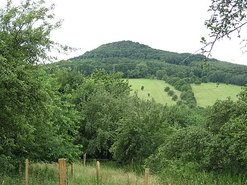
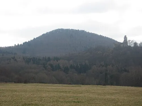
Kloc is a mountain. Location: Velemín, Litoměřice District. Elevation: 674 m. The best months to visit are June–August. The nearest airport is Václav Havel Airport Prague (55 km). Nearby sights include Milešovka and Ostrý.
Photos of Kloc
-

Gortyna · CC BY-SA 4.0 -

Juan de Vojníkov · CC BY-SA 3.0 -

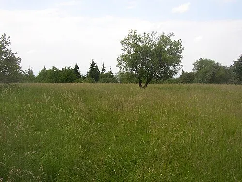
User:Miaow Miaow · Public domain -
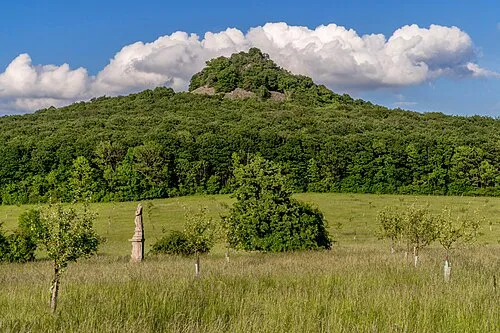
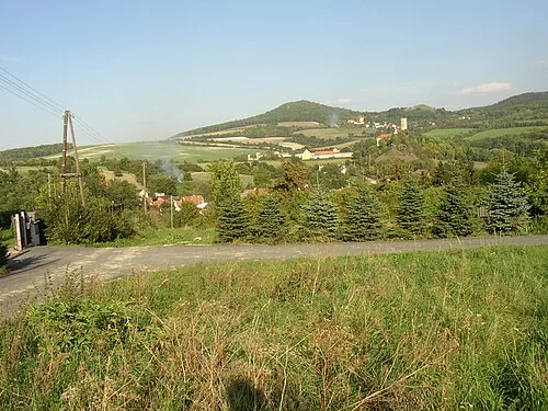
Ostrý Fan-Tomas net · CC BY-SA 4.0 -
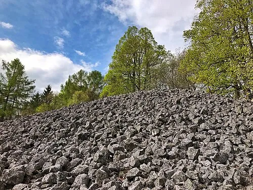
Ostrý Maoman · CC BY-SA 4.0


Climate of Kloc
Best months for sightseeingBest months for sightseeing: June–August.
This month · November
A cold month
Day 4° · Night -2° · Rain 46 mm
- Hottest month
- August (day 21°)
- Coldest month
- January (night -6°)
- Wettest month
- July (85 mm)
- Driest month
- February (36 mm)
Bars: average monthly low and high temperature. Below: precipitation. Monthly averages for 1970–2000 at about 18 km resolution, adjusted for elevation. Highlighted months are mild and relatively dry. Source: WorldClim 2.1 (CC BY 4.0).
Show values as a table
| Month | Jan | Feb | Mar | Apr | May | Jun | Jul | Aug | Sep | Oct | Nov | Dec |
|---|---|---|---|---|---|---|---|---|---|---|---|---|
| Average high (°C) | -1° | 1° | 6° | 11° | 16° | 19° | 21° | 21° | 16° | 10° | 4° | 0° |
| Average low (°C) | -6° | -5° | -2° | 1° | 6° | 9° | 11° | 10° | 7° | 3° | -2° | -4° |
| Precipitation (mm) | 38 | 36 | 46 | 37 | 66 | 76 | 85 | 75 | 51 | 46 | 46 | 43 |
How to get to Kloc
The nearest airport is Václav Havel Airport Prague (PRG), 55 km to the southeast as the crow flies. The nearest large city is Dresden, 58 km to the north.
Airports
- Václav Havel Airport Prague (PRG) Prague 55 kmsoutheast
- Dresden Airport (DRS) Dresden 67 kmnorth
- Karlovy Vary Airport (KLV) Karlovy Vary 80 kmsouthwest
Nearby large cities
- Dresden Population: 564.9K 58 kmnorth
- Prague Population: 1.2M 62 kmsoutheast
- Chemnitz Population: 247.2K 77 kmnorthwest
- Gera Population: 104.7K 135 kmwest
- Leipzig Population: 505K 140 kmnorthwest
Straight-line distances; road distances are longer. Airport data: OurAirports.
Day trips from Kloc
Within 100 km: 242 historic and cultural sites, 1,624 natural sites, 251 lakes, rivers and coasts.
0–25 km54 places
- Kohlhaukuppe Mountain 24 kmN
- Großer Lugstein Mountain 25 kmNW
- Kleiner Lugstein Mountain 24 kmNW
- Lehmbach Natural site 13 kmN
25–60 km736 places
- Erzgebirge Mountain 40 kmN
- Pirna-Sonnenstein Mountain 46 kmN
- Hořidla Mountain 25 kmE
- Vosí vrch Mountain 52 kmNE
60–100 km1,327 places
- Lysá Mountain 63 kmE
- Stoličná Mountain 62 kmW
- Pláň Mountain 92 kmW
- Talsperre Weiterswiese Lake 96 kmW
Straight-line distances.
Nearest towns and villages
Nearby attractions & nature
Everything nearby-
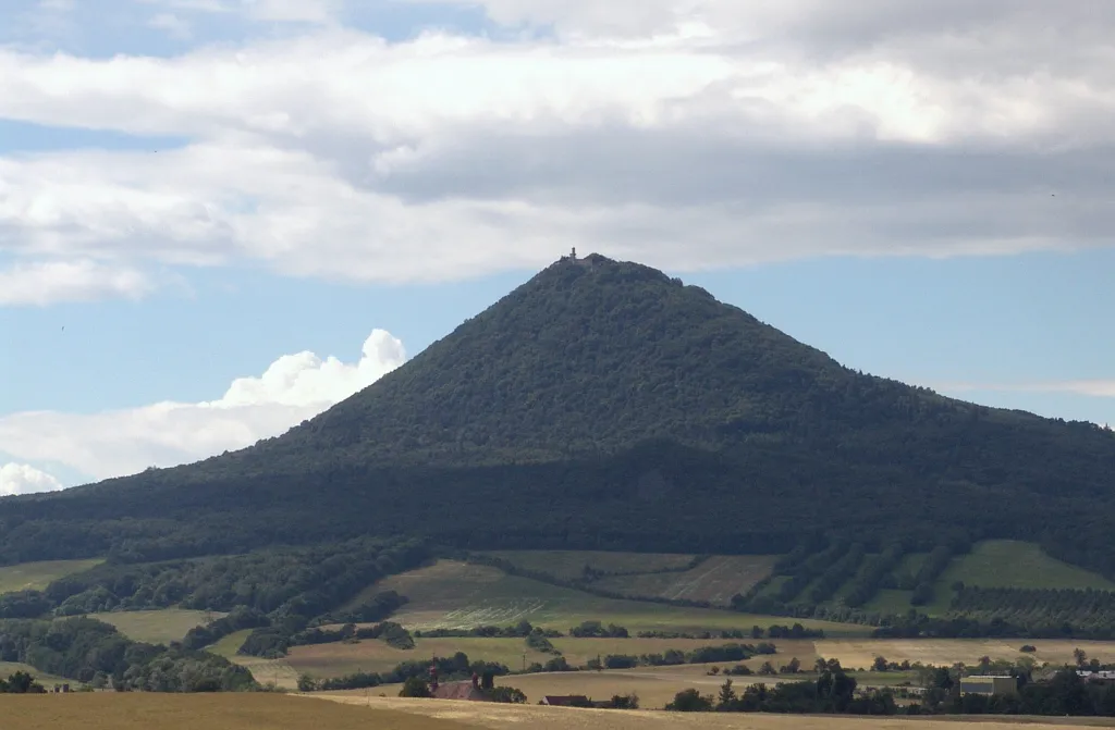 Milešovka Mountain, Velemín2.1 km NE
-
Ostrý Mountain, Velemín2.7 km E
-
 Zvon Mountain, Žalany2.4 km N
-
 Pařez Mountain, Kostomlaty pod Milešovkou2.7 km W
-
 Hradišťany Mountain, Hrobčice4.7 km SW
-
Solanská hora Mountain, Podsedice5.2 km S
-
 Sutomský vrch Mountain, Třebenice5.7 km SE
-
Ostrý Mountain, Hrobčice6.1 km SW
Sources & licences
Data last updated: · 2 independent sources