Ploština
Located in Drnovice, Zlín District Coordinates: 49°11′53″ N 17°57′33″ E
- Elevation
- 559 m
- above sea level
- Local time
- UTC+01:00
- Europe/Prague · UTC+01:00
About Ploština
Ploština is a village. Location: Drnovice, Zlín District. Elevation: 559 m.
Ploština was a small settlement in what is today the municipality of Drnovice in the Zlín Region of the Czech Republic. On 19 April 1945, at the end of World War II, it was burned and its people were massacred by Nazis in response to their support of the anti-Nazi resistance movement. The massacre was conducted by the German special SS unit Zur besonderen Verwendung-Kommando Nr.
Read more on Wikipedia Text: Wikipedia contributors · CC BY-SA 4.0 · shortened
In comparison
- Nearest larger town: Drnovice, 2 km S
- 8 sights and natural places within 10 km Kláštov, Svéradov
Nearby attractions & nature
Everything nearby-
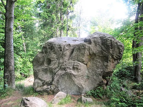 Kláštov Mountain, Vysoké Pole1.5 km NW
-
Svéradov Mountain, Pozděchov1.9 km N
-
Suchý vrch [Újezd u Valašských Klobouk] Mountain, Vysoké Pole3.7 km W
-
Kobylinec Mountain, Vlachova Lhota4.7 km S
-
Dúbrava Mountain, Loučka6.4 km W
-
Vrchkopec [Lidečko] Mountain, Lidečko6.4 km E
Sources & licences
Data last updated: · 2 independent sources